MyTopo
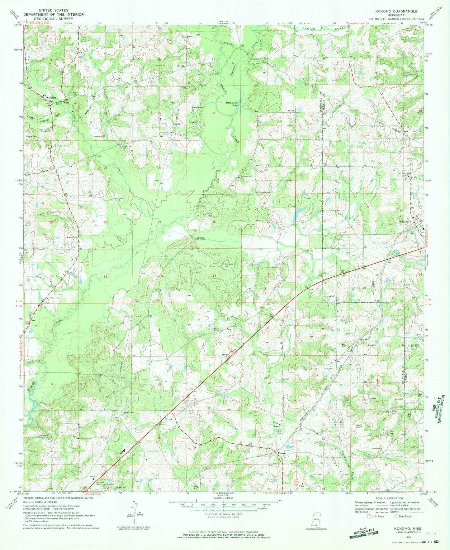
Classic USGS Kokomo Mississippi 7.5'x7.5' Topo Map
Couldn't load pickup availability
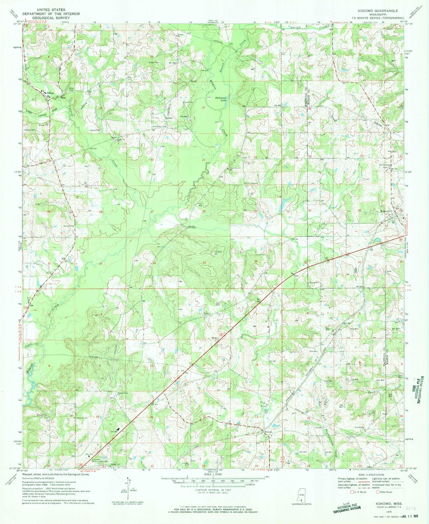
Historical USGS topographic quad map of Kokomo in the state of Mississippi. Map scale may vary for some years, but is generally around 1:24,000. Print size is approximately 24" x 27"
This quadrangle is in the following counties: Marion, Walthall.
The map contains contour lines, roads, rivers, towns, and lakes. Printed on high-quality waterproof paper with UV fade-resistant inks, and shipped rolled.
Contains the following named places: 4th District Volunteer Fire Department Station 2, Barrett Dam, Boyd Cemetery, Brandon Bay Church, China Grove, China Grove Cemetery, China Grove Church of God, Darbun Creek, Dillon Hill Church of God in Christ, Faith Tabernacle, Hillcrest Memorial Gardens, Knoxo, Knoxo Baptist Church, Knoxo Cemetery, Knoxo Church of God in Christ, Kokomo, Kokomo Baptist Church, Kokomo Cemetery, Kokomo Census Designated Place, Kokomo Post Office, Kokomo School, Little Varnell Creek, Magees Creek Church, Melis, New Bethel Church, New Damascus Church, New Damascus Missionary Baptist Church Cemetery, Packwood Lake, Pilgrim Lake Dam, Pyramid Unicom Airport, Saint James Church, Salem, Salem Attendance Center, Salem Baptist Church, Spence Cemetery, Stovall Creek, Summers Poultry Farm, Supervisor District 2, Union Creek, Varnell Creek, Walthall County, ZIP Code: 39643


