MyTopo
Classic USGS Kokoolau Hawaii 7.5'x7.5' Topo Map
Regular price
$16.95
Regular price
Sale price
$16.95
Unit price
per
Couldn't load pickup availability
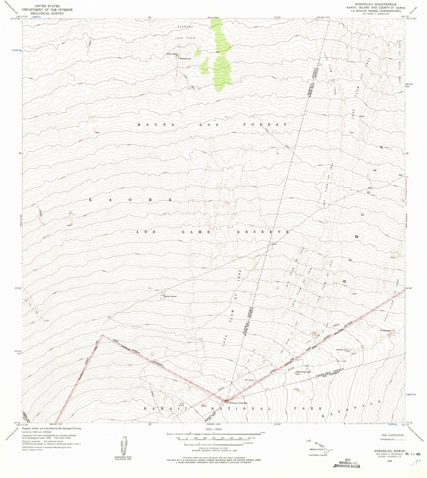
Historical USGS topographic quad map of Kokoolau in the state of Hawaii. Map scale may vary for some years, but is generally around 1:24,000. Print size is approximately 24" x 27"
This quadrangle is in the following counties: Hawaii.
The map contains contour lines, roads, rivers, towns, and lakes. Printed on high-quality waterproof paper with UV fade-resistant inks, and shipped rolled.
Contains the following named places: Dewey Cone, Hawaii County, Island of Hawai'i, Ko'oko'olau, Lava Flow of 1935, Lua Ioane, Mauna Loa Forest Reserve, Mauna Loa Observatory, Northeast Rift Zone, Pohaku'ohanalei, Pukauahi, State of Hawaii, Steaming Cone