
MyTopo
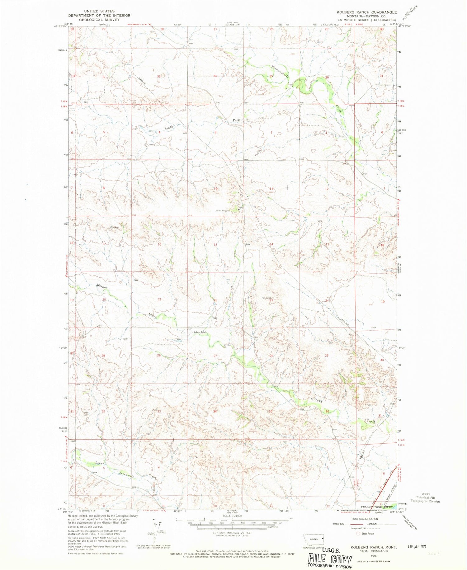
Classic USGS Kolberg Ranch Montana 7.5'x7.5' Topo Map
Regular price
$16.95
Regular price
Sale price
$16.95
Unit price
per
Couldn't load pickup availability
Historical USGS topographic quad map of Kolberg Ranch in the state of Montana. Map scale may vary for some years, but is generally around 1:24,000. Print size is approximately 24" x 27"
This quadrangle is in the following counties: Dawson.
The map contains contour lines, roads, rivers, towns, and lakes. Printed on high-quality waterproof paper with UV fade-resistant inks, and shipped rolled.
Contains the following named places: 17N55E06ADDA01 Well, 18N55E02BCBB01 Well, 18N55E09BDAD01 Well, 18N55E14ADBC01 Well, 18N55E23BDCD01 Well, 18N55E27BBBA01 Well, 18N55E28AADC01 Well, 18N55E29AACD01 Well, 18N56E06ABDD01 Well, 19N55E26CCCA01 Well, Kolberg Ranch, South Fork Thirteenmile Creek


