MyTopo
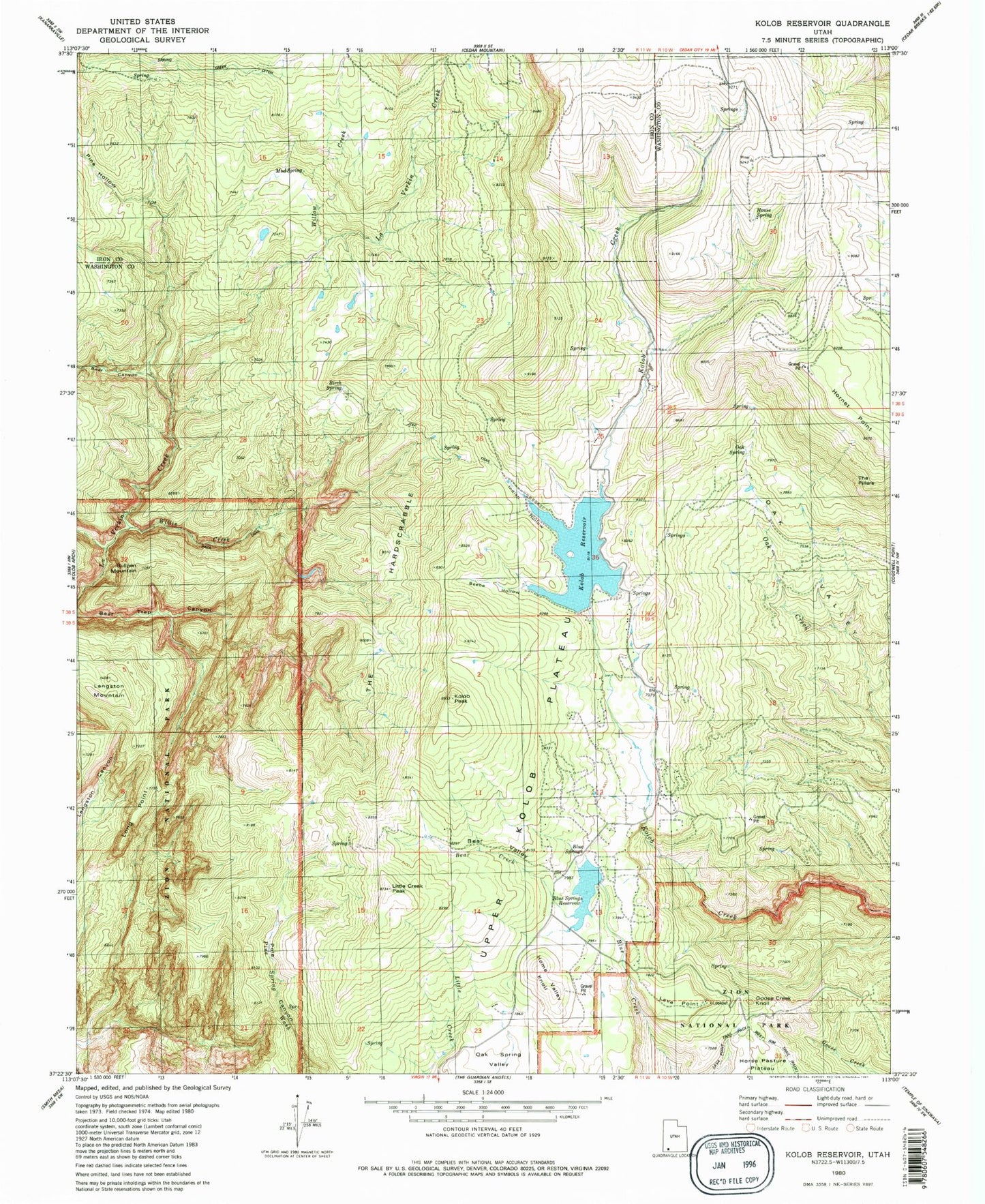
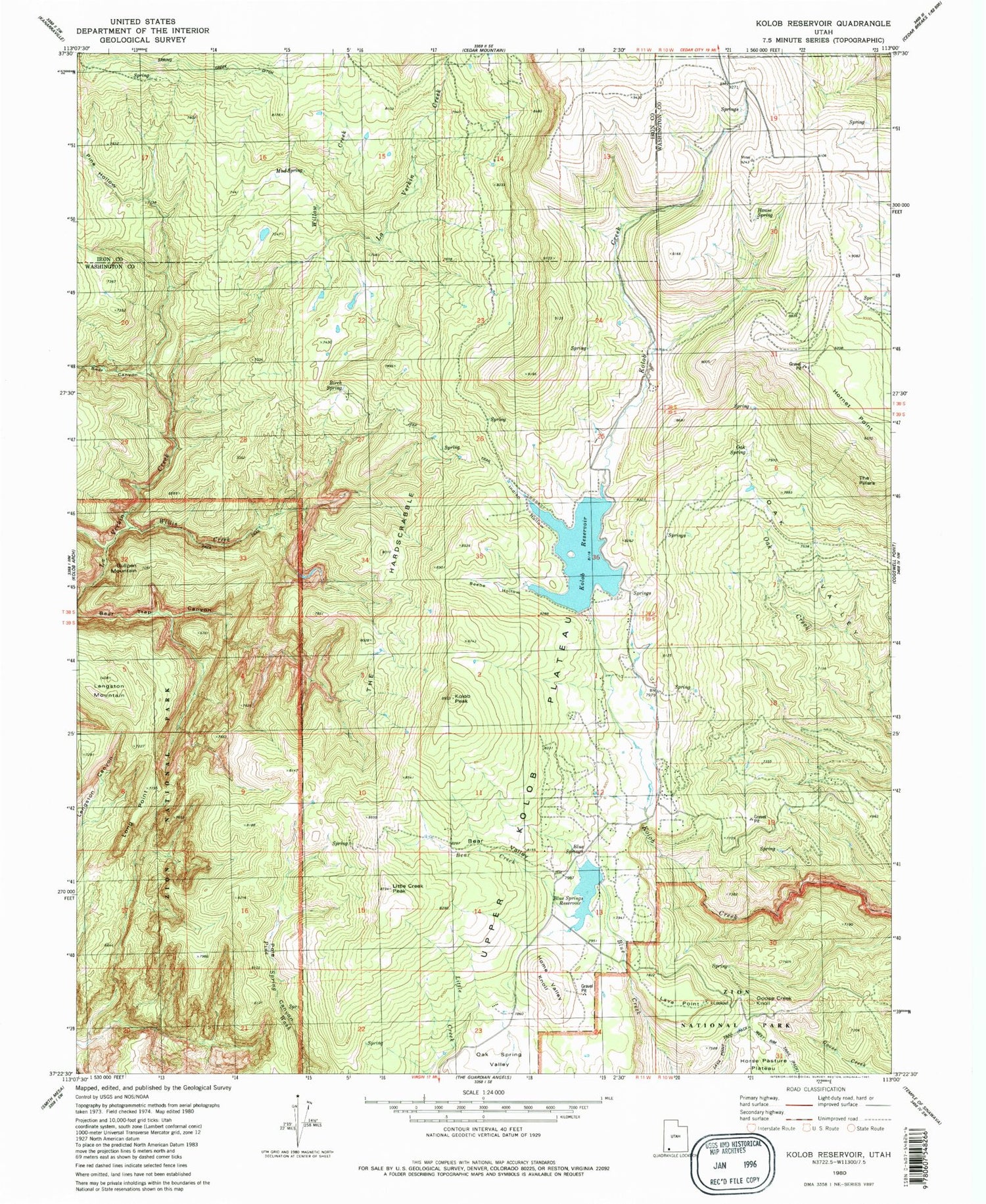
Classic USGS Kolob Reservoir Utah 7.5'x7.5' Topo Map
Couldn't load pickup availability
Historical USGS topographic quad map of Kolob Reservoir in the state of Utah. Typical map scale is 1:24,000, but may vary for certain years, if available. Print size: 24" x 27"
This quadrangle is in the following counties: Iron, Washington.
The map contains contour lines, roads, rivers, towns, and lakes. Printed on high-quality waterproof paper with UV fade-resistant inks, and shipped rolled.
Contains the following named places: Bear Canyon, Bear Creek, Bear Valley, Beebe Hollow, Birch Spring, Blue Springs, Blue Springs Reservoir, Bullpen Mountain, Goose Creek Knoll, Home Valley Knoll, Hornet Point, Indian Hollow, Kolob Peak, Kolob Reservoir, Lamareau Ranch, Langston Mountain, Lava Point, Little Creek Peak, Long Point, Meadow Hollow, Mud Spring, Oak Spring, Pine Hollow, Sevy Ranch, Spillsbury Ranch, Spring Creek Ditch, The Hardscrabble, Willis Creek, Willow Creek, Blue Springs Reservoir Dam, Kolob Creek Dam, Meadow Hollow Reservoir, Meadow Hollow Dam, Chasm Lake, House Spring, The Pillars, Upper Kolob Plateau, Lava Point Campground, Lower Kolob Plateau, KGSU-FM (Cedar City), Beartrap Canyon Wilderness, LaVerkin Creek Wilderness, Kolob Mountain Cemetery