MyTopo
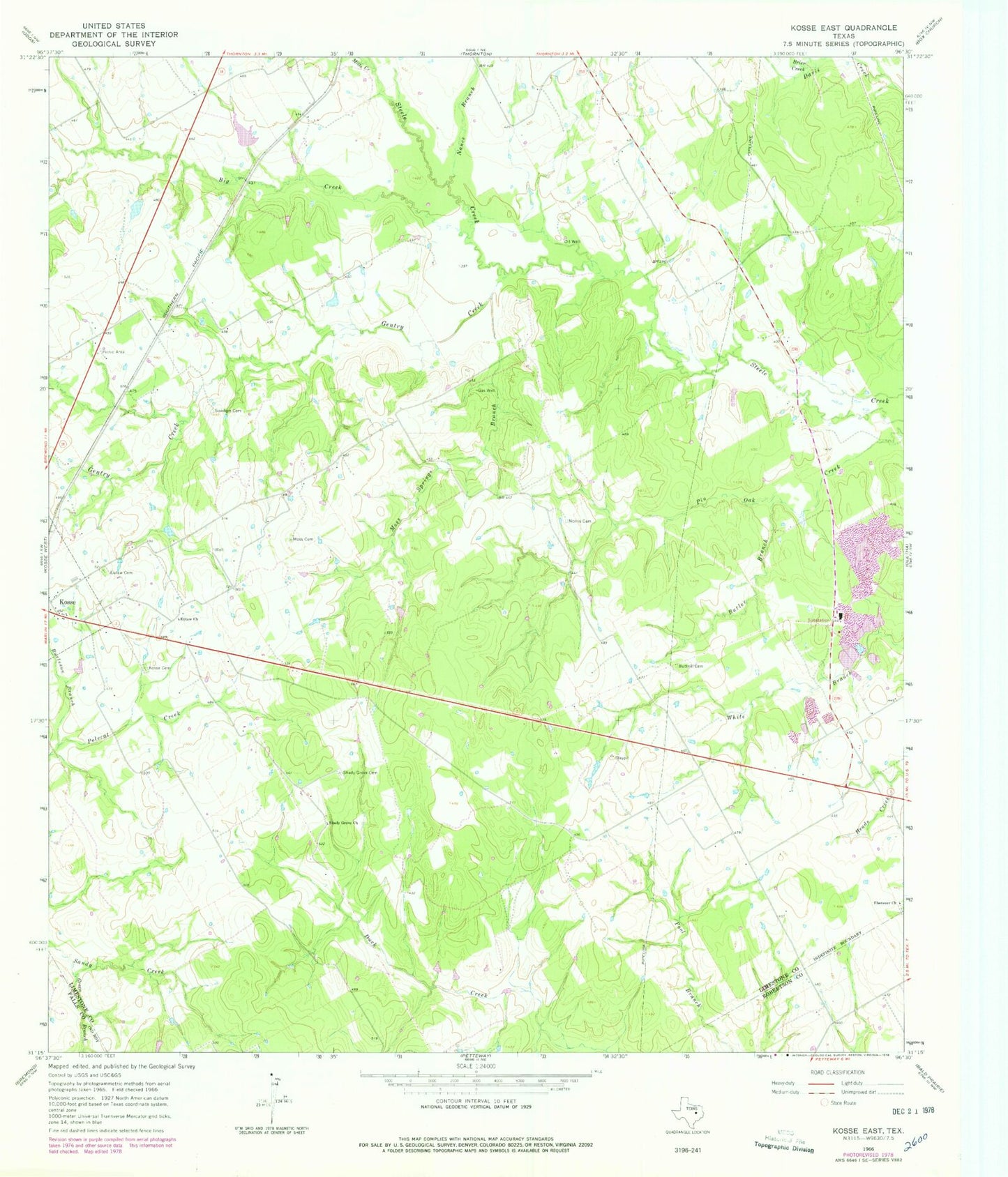
Classic USGS Kosse East Texas 7.5'x7.5' Topo Map
Couldn't load pickup availability
Historical USGS topographic quad map of Kosse East in the state of Texas. Map scale may vary for some years, but is generally around 1:24,000. Print size is approximately 24" x 27"
This quadrangle is in the following counties: Falls, Limestone, Robertson.
The map contains contour lines, roads, rivers, towns, and lakes. Printed on high-quality waterproof paper with UV fade-resistant inks, and shipped rolled.
Contains the following named places: Big Creek, Brier Creek, Burleson Branch, Butler Branch, Buttrill Cemetery, Ebenezer Church, Eutaw Cemetery, Eutaw Church, Gentry Creek, Green Branch, Knox Lake, Knox Lake Dam, Kosse Cemetery, Kosse Division, Mills Creek, Moss Cemetery, Moss Springs Branch, Nance Branch, Norris Cemetery, Shady Grove Cemetery, Shady Grove Church, Sowders Cemetery, ZIP Code: 76653