MyTopo
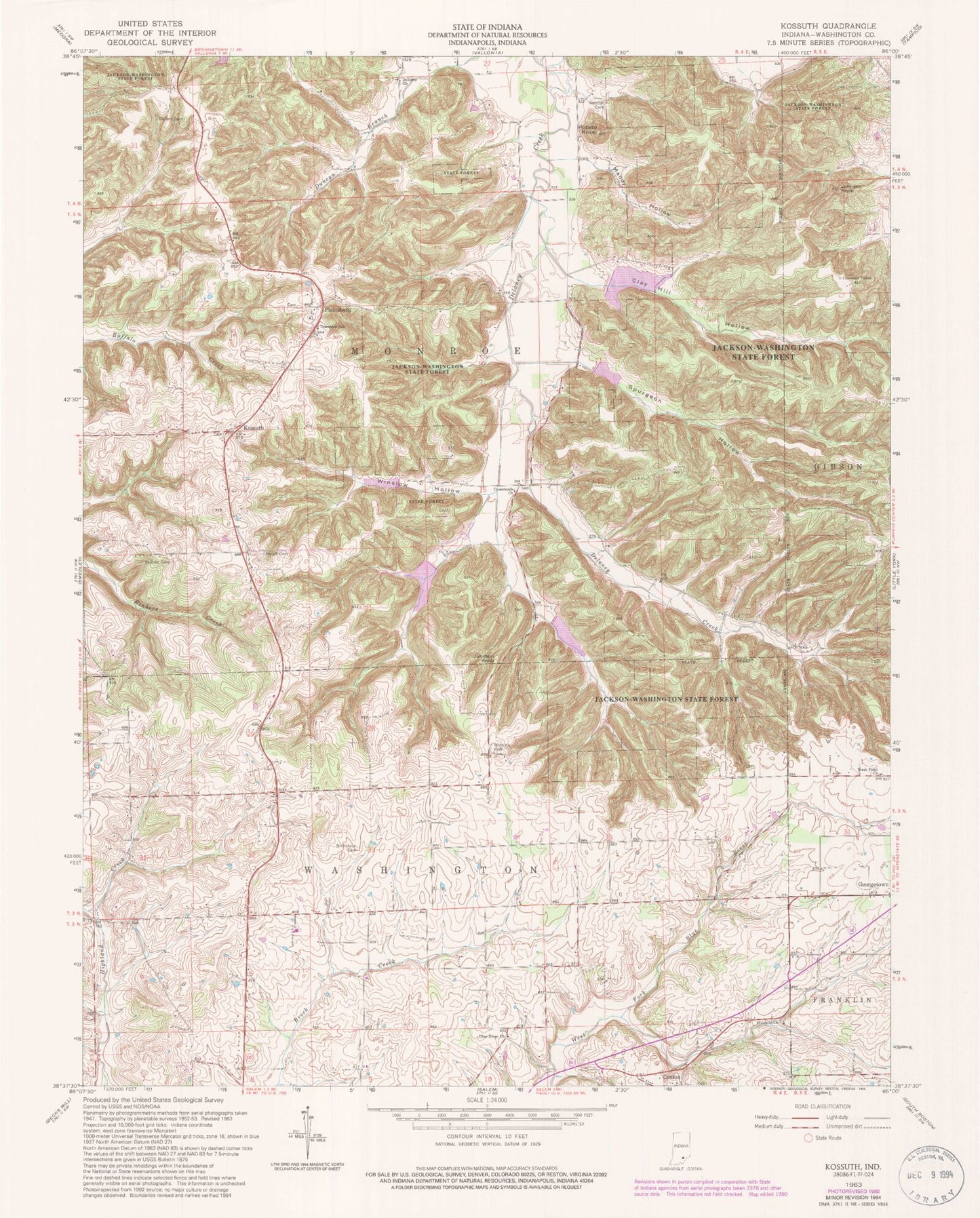
Classic USGS Kossuth Indiana 7.5'x7.5' Topo Map
Couldn't load pickup availability
Historical USGS topographic quad map of Kossuth in the state of Indiana. Typical map scale is 1:24,000, but may vary for certain years, if available. Print size: 24" x 27"
This quadrangle is in the following counties: Washington.
The map contains contour lines, roads, rivers, towns, and lakes. Printed on high-quality waterproof paper with UV fade-resistant inks, and shipped rolled.
Contains the following named places: Blue River Church, Clay Hill Hollow, Collett Cemetery, Crossroads Church, Deep Gap, Delaney Church, Franklin Church, Gater Cemetery, Johnson Knob, Johnson Knob, Kossuth, Mandy Hollow, McKnight Cemetery, Nicholson Cemetery, Peugh Cemetery, Plattsburg, Potato Knob, Spurgeon Hollow, West Point Church, Weston Cemetery, Winslow Cemetery, Winslow Hollow, Walnut Ridge, Delaney Creek Structure Number 1, Delany Creek Structure Number 2, Lick Skillet Hollow, Township of Monroe, Blue River Quaker Church, Blue River Friends Cemetery, Monroe Township Volunteer Fire Department, Morgan Airfield (historical)


