MyTopo
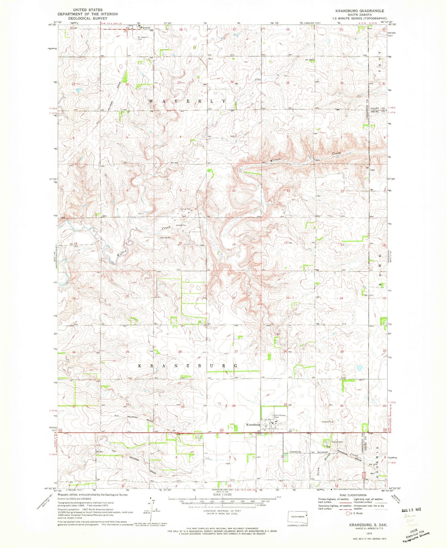
Classic USGS Kranzburg South Dakota 7.5'x7.5' Topo Map
Couldn't load pickup availability
Historical USGS topographic quad map of Kranzburg in the state of South Dakota. Map scale may vary for some years, but is generally around 1:24,000. Print size is approximately 24" x 27"
This quadrangle is in the following counties: Codington, Deuel, Grant.
The map contains contour lines, roads, rivers, towns, and lakes. Printed on high-quality waterproof paper with UV fade-resistant inks, and shipped rolled.
Contains the following named places: Holy Rosary Cemetery, Holy Rosary Elementary School, Kranzburg, Kranzburg Post Office, Saint Joseph's Catholic Cemetery, Schneider's Grove Cemetery, Spooner Children Graves, Town of Kranzburg, Township of Kranzburg, Waverly, Waverly Census Designated Place, Waverly-South Shore Elementary School, Waverly-South Shore High School, Waverly-South Shore Middle School, ZIP Code: 57245