MyTopo
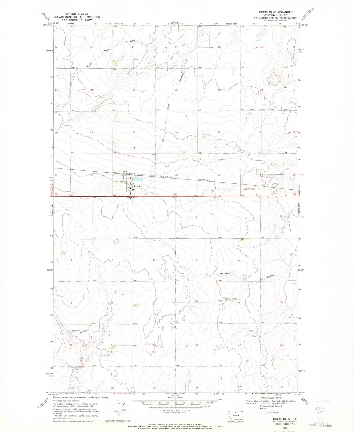
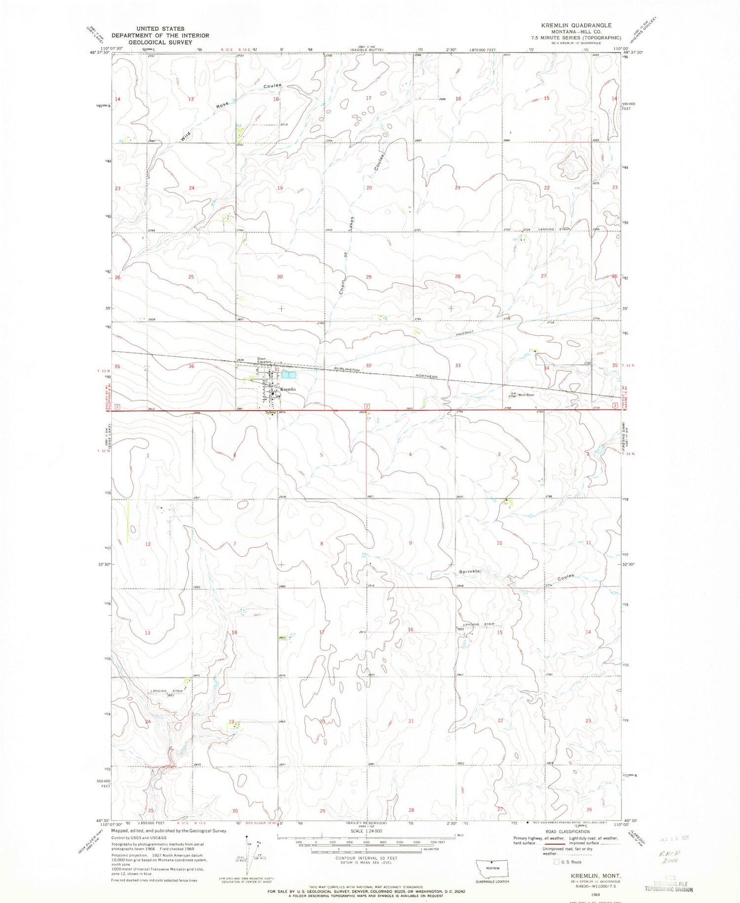
Classic USGS Kremlin Montana 7.5'x7.5' Topo Map
Couldn't load pickup availability
Historical USGS topographic quad map of Kremlin in the state of Montana. Map scale may vary for some years, but is generally around 1:24,000. Print size is approximately 24" x 27"
This quadrangle is in the following counties: Hill.
The map contains contour lines, roads, rivers, towns, and lakes. Printed on high-quality waterproof paper with UV fade-resistant inks, and shipped rolled.
Contains the following named places: 32N12E12AACB01 Well, 32N13E19DBBB01 Well, 59532, General Mills Incorporated Elevator, K-G Elementary School, Kremlin, Kremlin Census Designated Place, Kremlin Lutheran Church, Kremlin Post Office, Kremlin Rural Fire District, Kremlin United Methodist Church, Saint Anthony Elevator, Sorenson Airport