MyTopo
Classic USGS Kreyenhagen Hills California 7.5'x7.5' Topo Map
Regular price
$16.95
Regular price
Sale price
$16.95
Unit price
per
Couldn't load pickup availability
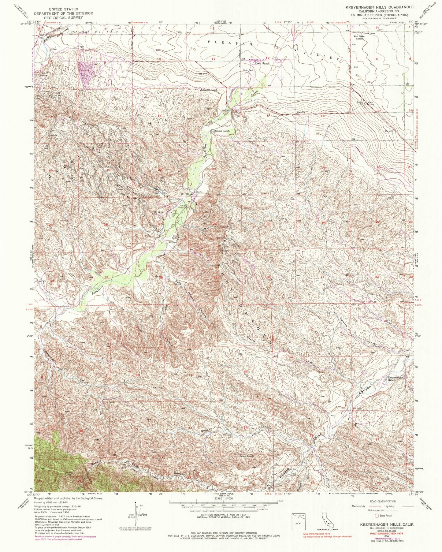
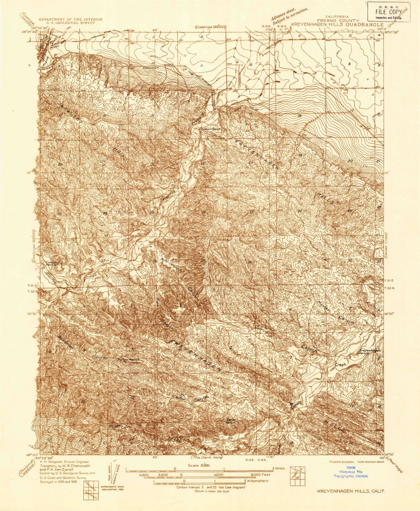
Historical USGS topographic quad map of Kreyenhagen Hills in the state of California. Map scale may vary for some years, but is generally around 1:24,000. Print size is approximately 24" x 27"
This quadrangle is in the following counties: Fresno.
The map contains contour lines, roads, rivers, towns, and lakes. Printed on high-quality waterproof paper with UV fade-resistant inks, and shipped rolled.
Contains the following named places: Arroyo Pinoso, Beltran Creek, Cedar Canyon, Conn Ranch, Deadman Canyon, Esrey Ranch, Garcia Canyon, Hanes Ranch, Jacalitos Oil Field, Johnson Ranch, Kreyenhagen Hills, Kreyenhagen Ranch, Pete Merrill Canyon, Ruiz Canyon, Van Dyke Ranch, Zuburi Ranch