MyTopo
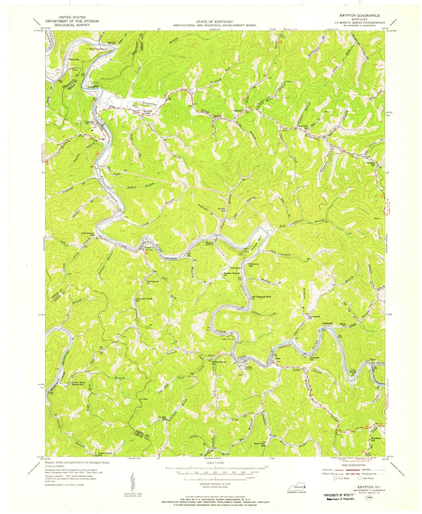
Classic USGS Krypton Kentucky 7.5'x7.5' Topo Map
Couldn't load pickup availability
Historical USGS topographic quad map of Krypton in the state of Kentucky. Map scale may vary for some years, but is generally around 1:24,000. Print size is approximately 24" x 27"
This quadrangle is in the following counties: Breathitt, Leslie, Perry.
The map contains contour lines, roads, rivers, towns, and lakes. Printed on high-quality waterproof paper with UV fade-resistant inks, and shipped rolled.
Contains the following named places: Abes Branch, Anderson Branch, Avawam Volunteer Fire Department, Baker Post Office, Barwick, Beech Branch, Big Creek Church, Big Willard Creek, Bills Branch, Boat, Boat Post Office, Bobbin Branch, Briar Fork, Briar Fork School, Buck Branch, Busy, Busy Post Office, Butterfly, Butterfly Post Office, Butterfly School, Campbell, Campbell Bend, Campbell Bend School, Campbell Creek, Campbell Creek Christian Church, Campbell Creek School, Campbell Tunnel, Cary Branch, Chavies, Chavies Bridge, Chavies Elementary School, Chavies Post Office, Chavies Railroad Station, Clear Fork, Clear Fork School, Coal Harbor Branch, Colwell Fork, Combs Branch, Conda Railroad Station, Confluence Post Office, Couch Fork, Dacon Railroad Station, Davidson Church, Davidson School, Duff Airport, Dunraven, Dunraven Post Office, Dunraven Railroad Station, Dunraven School, Eversole Creek, First Creek, Fish Trap Branch, Fishtrap Shoals, Flat Gap Branch, Flat Gap School, Forked Mouth Creek, Forked Mouth School, Glenn Post Office, Grapevine and Chavies Volunteer Fire Department, Grapevine Church, Grapevine Creek, Grapevine Post Office, Grassy Branch, Groundhog Fork, Gunner Branch, Haddock Fork, Hickory Gap Church, Huff Island Baptist Church, Hurricane, Hurricane Branch, Ivy Gap, Ivy Gap Fork, Ivy Gap School, Jackson Fork, Jake Campbell Branch, Krypton, Krypton Division, Krypton Post Office, Krypton Railroad Station, Krypton Volunteer Fire and Rescue, Lamont, Lamont Post Office, Laurel Branch, Laurel Fork, Lead Branch, Left Fork Campbell Creek, Left Fork Trace Branch, Leonard Railroad Station, Lick Branch, Lick Branch Church, Line Tunnel, Little Willard Church, Little Willard Creek, Little Willard School, Lower Branch, Lower Grassy School, Lower Second Creek, Manuel, Manuel Post Office, McClure Post Office, Meadow Branch, Meadow Branch School, Mudlick, Mudlick Branch, Mudlick School, Napfor, Napfor Post Office, Napfor Railroad Station, Napfor School, Napier Branch, Napier School, Old Campbell Bend Church, Oldhouse Branch, Oliver Branch, Olivers, Pads Branch, Perritt Railroad Station, Pigeonroost Branch, Red Hill, Red Hill Cemetery, Red Hill Church, Right Fork Rockhouse Fork, Right Fork Spencer Creek, Right Fork Trace Branch, Rockhouse Fork, Rocklick Branch, Roseanne Branch, Rye Branch, Sam Campbell Branch, Scalem Branch, Shinglepen Branch, Snatch Creek, Sonia School, Spencer Creek, Stacy Branch, Steve Napier Branch, Stidham Bend, Stidham Branch, Strong Branch, Sugar Branch, Trace Branch, Trace Branch Boat Ramp, Two Notch Branch, Two Notch School, Typo, Typo Post Office, Typo Railroad Station, Typo School, Typo Tunnel, Wiley Miller Branch, Willard Elementary School, Woodland School, Yerkes, Yerkes Post Office, Yerkes Railroad Station, Yerkes Tunnel, ZIP Codes: 41719, 41723, 41754