MyTopo
Classic USGS Kumiva Peak Nevada 7.5'x7.5' Topo Map
Regular price
$16.95
Regular price
Sale price
$16.95
Unit price
per
Couldn't load pickup availability
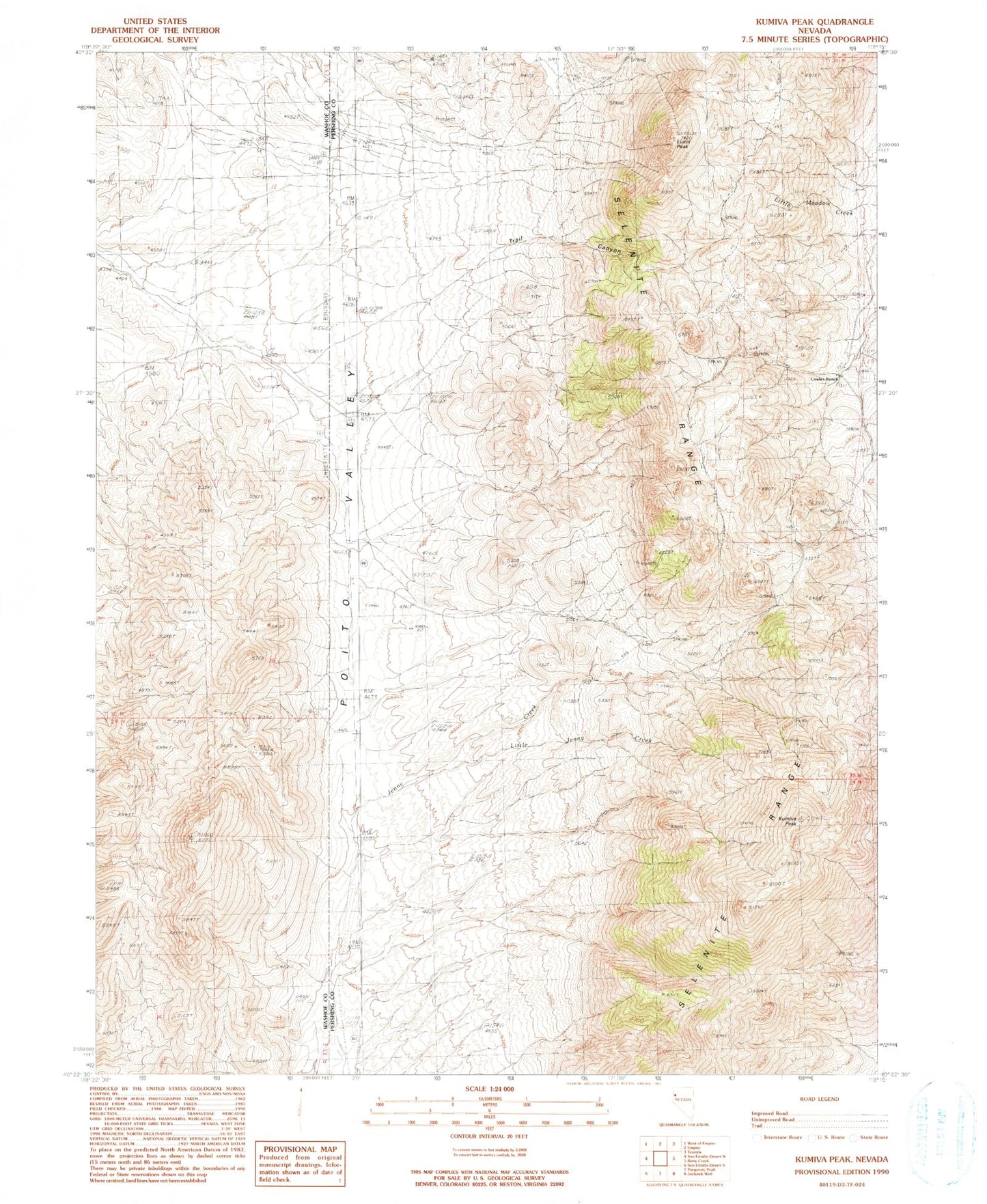
Historical USGS topographic quad map of Kumiva Peak in the state of Nevada. Map scale may vary for some years, but is generally around 1:24,000. Print size is approximately 24" x 27"
This quadrangle is in the following counties: Pershing, Washoe.
The map contains contour lines, roads, rivers, towns, and lakes. Printed on high-quality waterproof paper with UV fade-resistant inks, and shipped rolled.
Contains the following named places: Cowles Ranch, Hooker Mining District, Kumiva Peak, Little Jenny Creek, Luxor Peak, Mountain Spring, Rock Spring, Rosebud Spring, Stormy Day Mine, Thrabert Mine, Thrasher Mine, U S Gypsum Mine