MyTopo
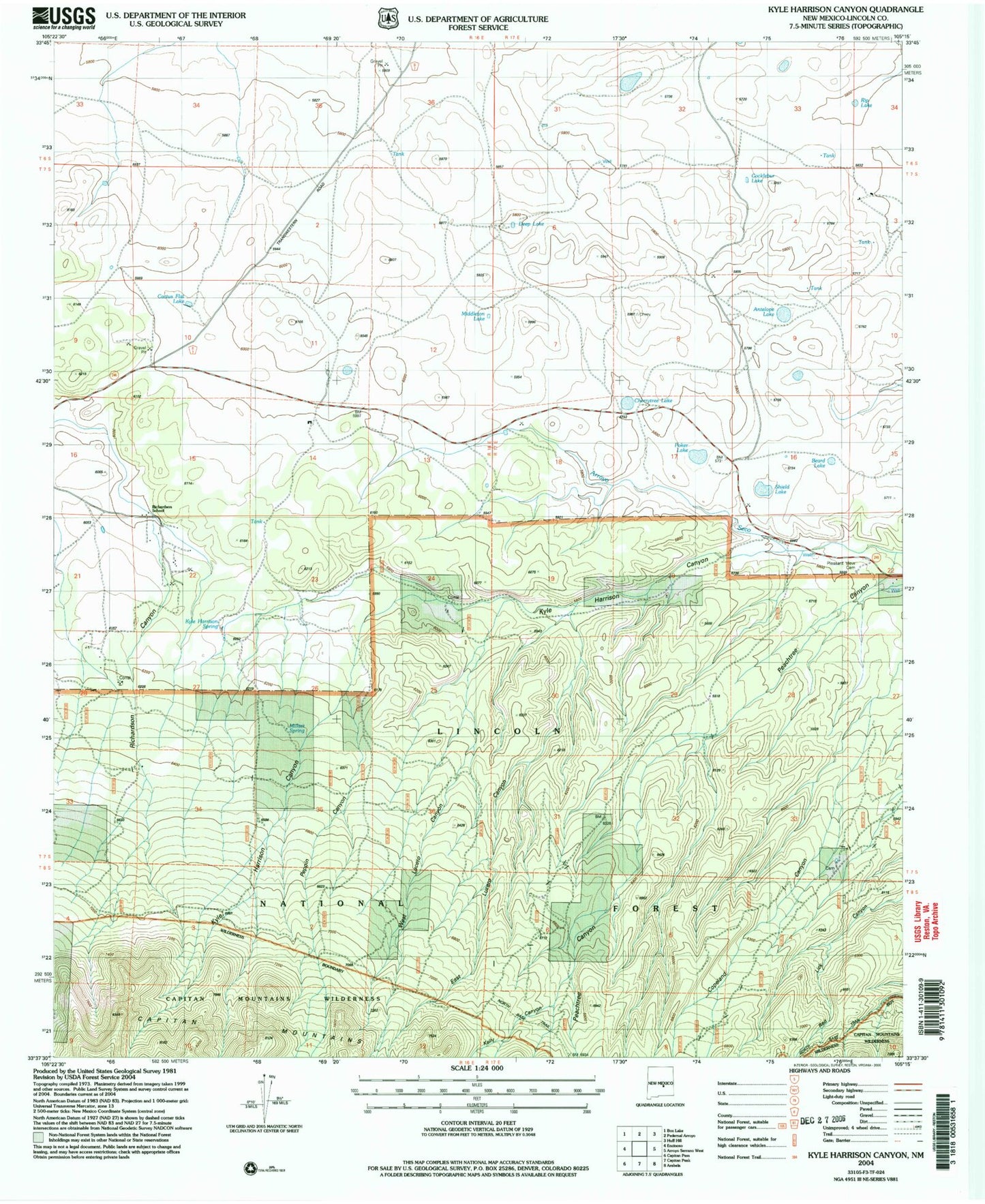
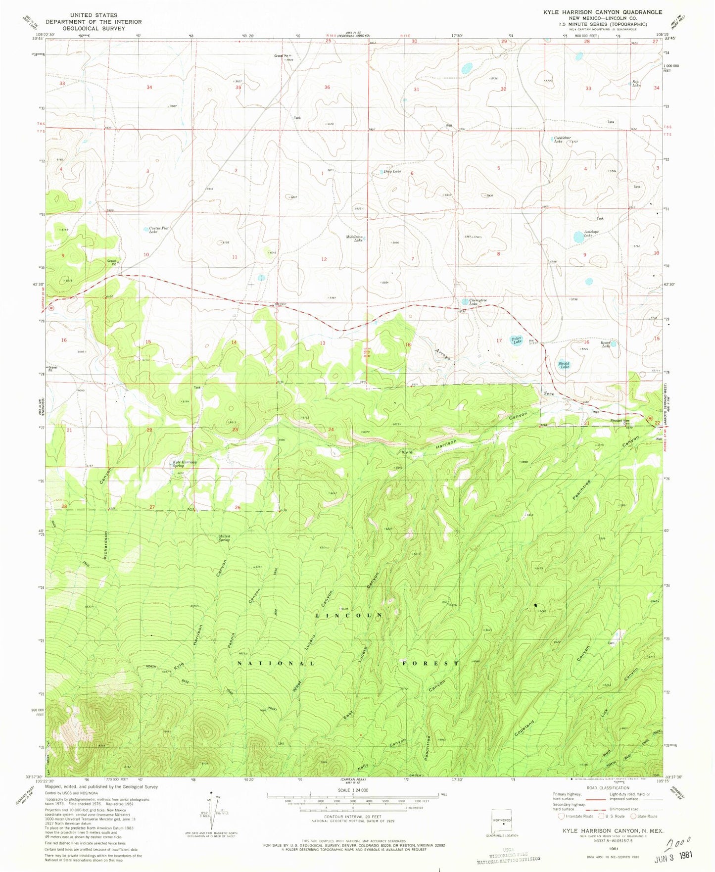
Classic USGS Kyle Harrison Canyon New Mexico 7.5'x7.5' Topo Map
Couldn't load pickup availability
Historical USGS topographic quad map of Kyle Harrison Canyon in the state of New Mexico. Map scale may vary for some years, but is generally around 1:24,000. Print size is approximately 24" x 27"
This quadrangle is in the following counties: Lincoln.
The map contains contour lines, roads, rivers, towns, and lakes. Printed on high-quality waterproof paper with UV fade-resistant inks, and shipped rolled.
Contains the following named places: Antelope Lake, Beard Lake, Bunton, Cactus Flat Lake, Capitan Division, Cherrytree Lake, Cocklebur Lake, Deep Lake, East Lucero Canyon, Fox and Fur Lodge, Kelly Canyon, Kyle Harrison Canyon, Kyle Harrison Spring, Middleton Lake, Millset Spring, Peachtree Canyon, Peppin Canyon, Pleasant View Cemetery, Poker Lake, Richardson School, Rip Lake, Seven Cabin Springs, Seven Cabins, Shield Lake, West Lucero Canyon


