MyTopo
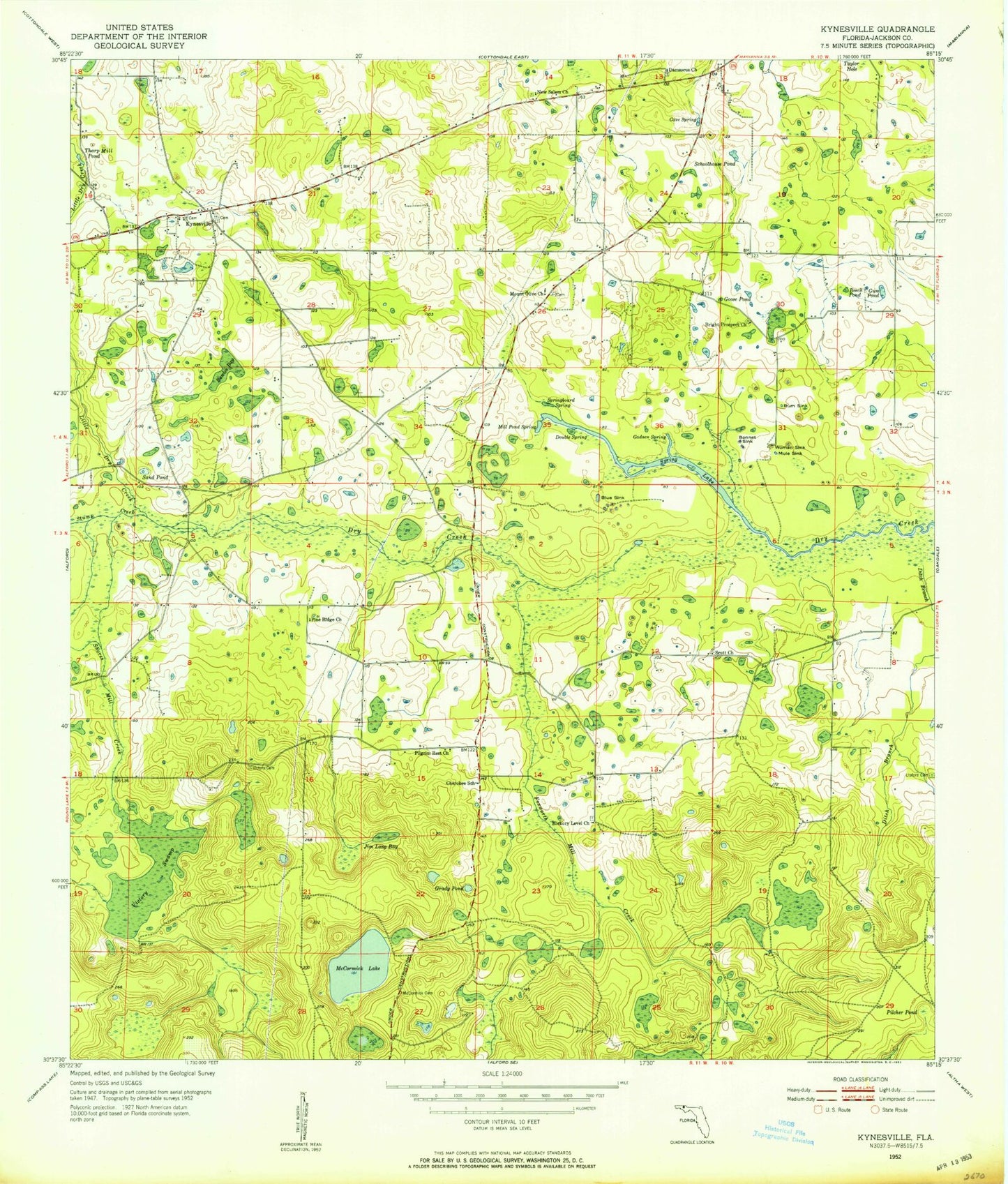
Classic USGS Kynesville Florida 7.5'x7.5' Topo Map
Couldn't load pickup availability
Historical USGS topographic quad map of Kynesville in the state of Florida. Map scale may vary for some years, but is generally around 1:24,000. Print size is approximately 24" x 27"
This quadrangle is in the following counties: Jackson.
The map contains contour lines, roads, rivers, towns, and lakes. Printed on high-quality waterproof paper with UV fade-resistant inks, and shipped rolled.
Contains the following named places: Alford Division, Beech Pond, Blue Sink, Bonnet Sink, Bright Prospect Church, Cave Spring, Cherokee School, Damascus Church, Ditch Branch, Double Spring, Foxworth Mill Creek, Gadsen Spring, Goose Pond, Grady Pond, Gum Pond, Hickory Level Church, Jim Long Bay, Kynesville, Land's Field, Lipford Cemetery, Little Dry Creek, McCormick Cemetery, McCormick Lake, Mill Pond Spring, Mount Olive Church, Mule Sink, New Salem Church, Pilcher Pond, Pilgrim Rest Church, Pine Ridge Church, Rawles Bay, Rum Sink, Sand Pond, Schoolhouse Pond, Scott Church, Shores Mill Creek, Spring Lake, Springboard Spring, Stump Creek, Taylor Hole, Tharp Mill Pond, Vickery Cemetery, Victory Swamp, Woman Sink


