MyTopo
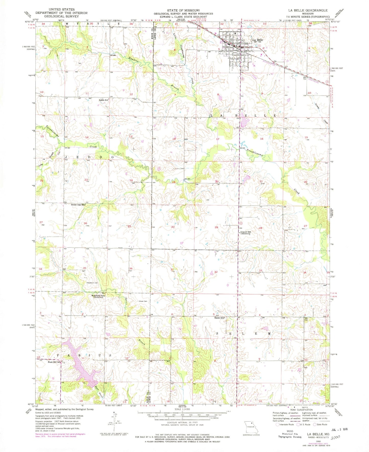
Classic USGS La Belle Missouri 7.5'x7.5' Topo Map
Couldn't load pickup availability
Historical USGS topographic quad map of La Belle in the state of Missouri. Map scale may vary for some years, but is generally around 1:24,000. Print size is approximately 24" x 27"
This quadrangle is in the following counties: Knox, Lewis.
The map contains contour lines, roads, rivers, towns, and lakes. Printed on high-quality waterproof paper with UV fade-resistant inks, and shipped rolled.
Contains the following named places: Airport School, Belleview Lake, Belleview Lake Dam, City of La Belle, Fruit Hill School, Glover Cemetery, Hawkins Branch, Henry Sever Dam, Henry Sever Lake, Hillside School, Jeddo, Jeddo School, La Belle, La Belle Post Office, Laura M Baker Dam, Laura M Baker Lake, Lear Cemetery, Little Troublesome Creek, Long Branch, Million Creek, New La Belle Lake, New La Belle Lake Dam, Salem, Salem School, Sharpe Farms Airport, Sweet Oak Branch, Sweet Oak School, Washburn Cemetery, Western Lewis County Fire Protection District Labelle Station, Woodland School, ZIP Code: 63447