MyTopo
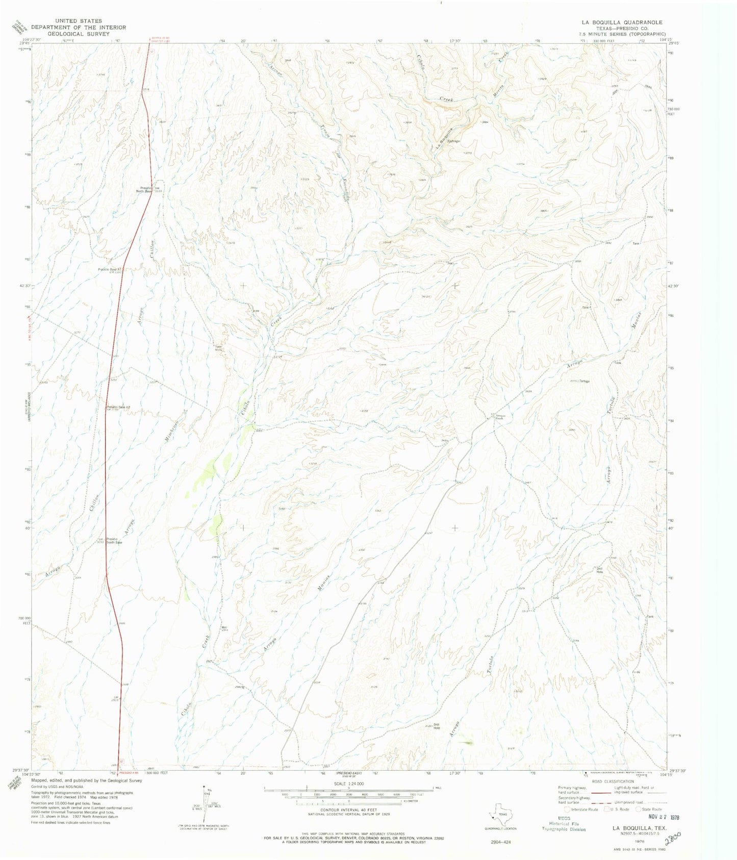
Classic USGS La Boquilla Texas 7.5'x7.5' Topo Map
Regular price
$16.95
Regular price
Sale price
$16.95
Unit price
per
Couldn't load pickup availability
Historical USGS topographic quad map of La Boquilla in the state of Texas. Map scale may vary for some years, but is generally around 1:24,000. Print size is approximately 24" x 27"
This quadrangle is in the following counties: Presidio.
The map contains contour lines, roads, rivers, towns, and lakes. Printed on high-quality waterproof paper with UV fade-resistant inks, and shipped rolled.
Contains the following named places: Arroyo Monias, Arroyo Tinaja Escondido, Arroyos Ranch, La Boquilla, Las Pampas Colonia, Morita Creek, Presidio Lely International Airport, Tortolo Creek, Twin Mills