MyTopo
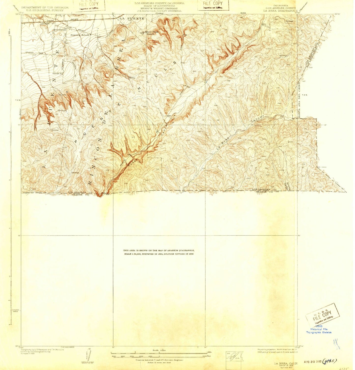
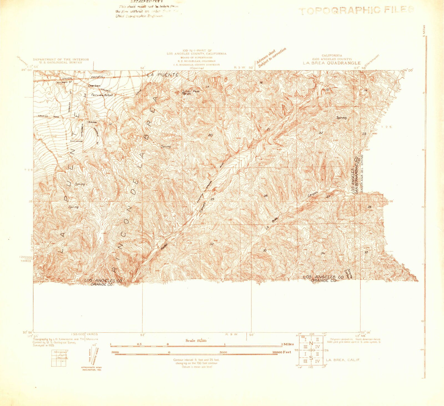
Classic USGS La Brea California 7.5'x7.5' Topo Map
Couldn't load pickup availability
Historical USGS topographic quad map of La Brea in the state of California. Typical map scale is 1:24,000, but may vary for certain years, if available. Print size: 24" x 27"
This quadrangle is in the following counties: Los Angeles, Orange, San Bernardino.
The map contains contour lines, roads, rivers, towns, and lakes. Printed on high-quality waterproof paper with UV fade-resistant inks, and shipped rolled.
Contains the following named places: Alvarado Hot Springs (historical), Alvarado Intermediate School, Anaheim Union Reservoir, Blandford Elementary School, Brea Junior High School, Brea Olinda High School, Carbon Canyon, Carbon Canyon Dam, Fallon, Firestone Scout Reservation, Laurel Elementary School, Otterbein, Rincon De La Brea, Rowland High School, Sonome Canyon, Telegraph Canyon, Tonner Canyon, Security Brea Heliport, Robert Diemer Filtration Plant, Brea Chem, Carlton, Orange County Reservoir 35-007 Dam, Diemer Number 8 35-009 Dam, Diemer Reservoir 35-010 Dam, KORG-AM (Anaheim), Oleo (historical), Olinda (historical), Fairview School (historical), Silver Peak Ranch (historical), Diamond Bar Ranch (historical), Castle Rock Elementary School, Chaparral Middle School, Country Hills Town Center Shopping Center, Diamond Bar High School, Evergreen Elementary School, Fairway Plaza Shopping Center, Heritage Park, Maple Hill Elementary School, Maple Hill Park, Paul C Grow Park, Quail Summit Elementary School, Rowland Heights Park, Royal Vista Golf Course, Craig Regional Park, Humble Reservoir, Junior High Park, Lagos De Moreno Park, Tamarack Park, Brea Mall Shopping Center, Brea Marketplace Shopping Center, Brea-Imperial Shopping Center, Birch Hills Golf Course, Brea Country Hills Elementary School, Brea Plaza Shopping Center, Carbon Canyon Regional Park, Country Hills Park, George J Koch Park, Greenbriar Park, Imperial East Shopping Center, Imperial Golf Course (historical), Mariposa Elementary School, Olinda Elementary School, Tri City Park, Tuffree Hill Park, William E Fanning Elementary School, Jellick Elementary School, Canyon Point Marketplace Shopping Center, Killian Elementary School, Shelyn Elementary School, Ybarra Elementary School, Brea Branch Orange County Public Library, Tuffree Middle School, Golden Elementary School, George Key School, Villa Yorba Shopping Center, Brea Baptist Church, Brea United Methodist Church, Jehovah Yireh Baptist Church, Landmark Missionary Baptist Church, Hanmaum Presbyterian Church, Brea Fire Department Station 2, Rowland Heights Plaza Shopping Center, Los Angeles County Fire Department Station 145, Nike Site LA-29C (historical), Nike Site LA-29L (historical), Golden Gate Baptist Theological Seminary - Southern California Campus, Rowland Heights Census Designated Place, City of Brea, City of Diamond Bar, Kindred Hospital Brea, Brea Fire Department Station 3, Brea Fire Services Department Station 4, Los Angeles County Fire Department Station 119, Emergency Ambulance Service, Brea Police Department, Brea Post Office, Rowland Heights Post Office, Diamond Bar Post Office


