MyTopo
Classic USGS La Cima California 7.5'x7.5' Topo Map
Couldn't load pickup availability
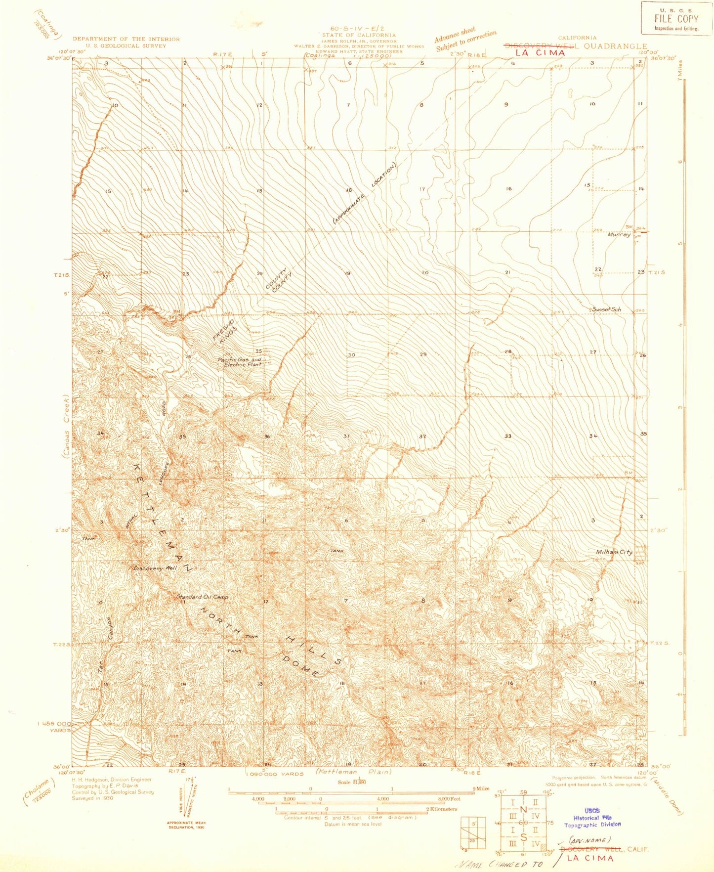
Historical USGS topographic quad map of La Cima in the state of California. Map scale may vary for some years, but is generally around 1:24,000. Print size is approximately 24" x 27"
This quadrangle is in the following counties: Fresno, Kings.
The map contains contour lines, roads, rivers, towns, and lakes. Printed on high-quality waterproof paper with UV fade-resistant inks, and shipped rolled.
Contains the following named places: Arroyo Bifido, Arroyo Doblegado, Arroyo Finito, Arroyo Hondo, Arroyo Largo, Arroyo Murado, Arroyo Pequeno, Arroyo Torcido, Arroyo Vadoso, Avenal City Hall, Avenal Landfill, Avenal Post Office, Cerro Lodoso, City of Avenal, Discovery Ridge, Double Hill, Eighteen Q Camp, El Chichon, El Pajaro, El Perno, El Piso, El Pulgar, El Rascador, El Serrijon, El Taco, El Tolete, Eleven P Office, Eleven P Plant, Horse Canyon, Hydril, Hydril Hill, Kettleman Compressor Station, Kettleman Hills, KNGS-FM (Coalinga), La Aleta, La Ceja, La Cima, La Clavija, La Cuesta, La Cumbre, La Cuna, La Loba, La Marmita, La Meseta, La Muralla, La Palomera, La Tusa, La Vega, Las Paredes, Los Jinetes, Murray, Murray Fire Control Station, North Dome, Three P Plant