MyTopo
Classic USGS La Cinta Canyon New Mexico 7.5'x7.5' Topo Map
Couldn't load pickup availability
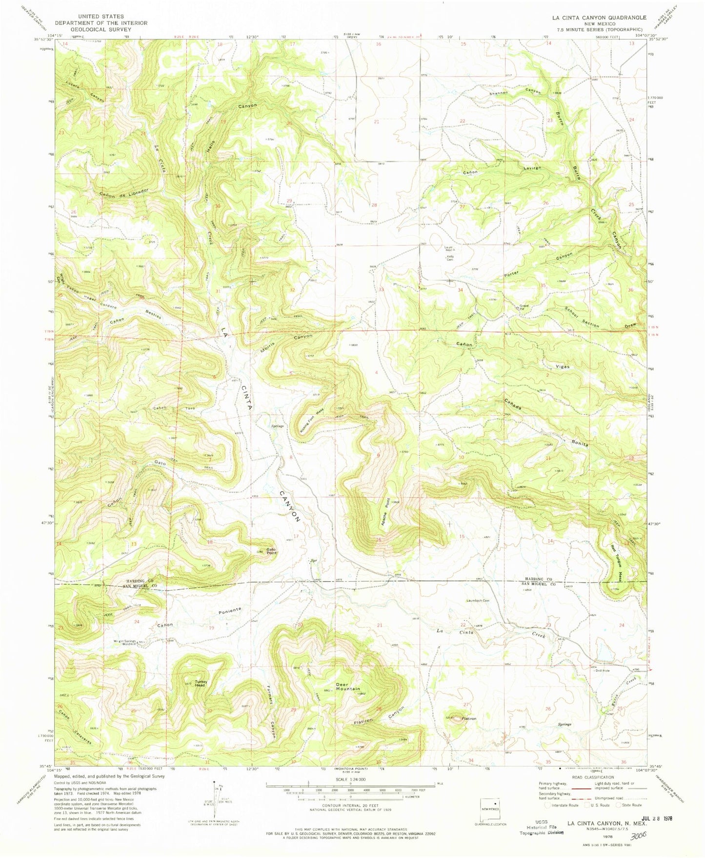
Historical USGS topographic quad map of La Cinta Canyon in the state of New Mexico. Map scale may vary for some years, but is generally around 1:24,000. Print size is approximately 24" x 27"
This quadrangle is in the following counties: Harding, San Miguel.
The map contains contour lines, roads, rivers, towns, and lakes. Printed on high-quality waterproof paper with UV fade-resistant inks, and shipped rolled.
Contains the following named places: Apache Point, Archuleta Canyon, Burro Creek, Campsey, Canon Bestias, Canon de Librador, Canon Gato, Canon Lavirgn, Canon Poniente, Canon Toro, Deer Mountain, Farmers Canyon, Flatiron, Flatiron Canyon, Gato Point, Hells Canyon, Kelly Cemetery, Kicking Foot Mesa, Kidd, La Cinta Canyon, Laumbach, Lucero Canyon, Martines, Morris Canyon, Porter Canyon, Prichard, Red Tongue Mesa, Riley, School Section Draw, Shannon Canyon, Turkey Head, Wright Canyon, Wright Springs Windmill