MyTopo
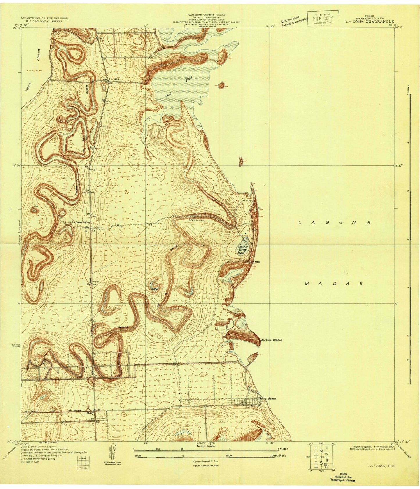
Classic USGS La Coma Texas 7.5'x7.5' Topo Map
Couldn't load pickup availability
Historical USGS topographic quad map of La Coma in the state of Texas. Map scale may vary for some years, but is generally around 1:24,000. Print size is approximately 24" x 27"
This quadrangle is in the following counties: Cameron.
The map contains contour lines, roads, rivers, towns, and lakes. Printed on high-quality waterproof paper with UV fade-resistant inks, and shipped rolled.
Contains the following named places: Barclay Island, Buena Vista, Buena Vista Ranch, Cain Dam 1, Cain Reservoir 1, Coyote Point, East Cameron Division, Gabrielson Island, Gatlin Island, Granjeno Ranch, Holly Beach, Horseshoe Lake, La Coma Ranch, Laguna Atascosa National Wildlife Refuge, Laguna de los Patos, Light Eightynine, Light Fiftynine, Light Seventynine, Light Sixtynine, Moranco Blanco, Port Isabel Air Force Station, Port Isabel Naval Auxiliary Air Station, Port Isabel-Cameron County Airport, Resaca de la Gringa, Resaca de los Cuates, Stover Cove, Stover Point, ZIP Codes: 78566, 78597