MyTopo
Classic USGS La Coste Texas 7.5'x7.5' Topo Map
Couldn't load pickup availability
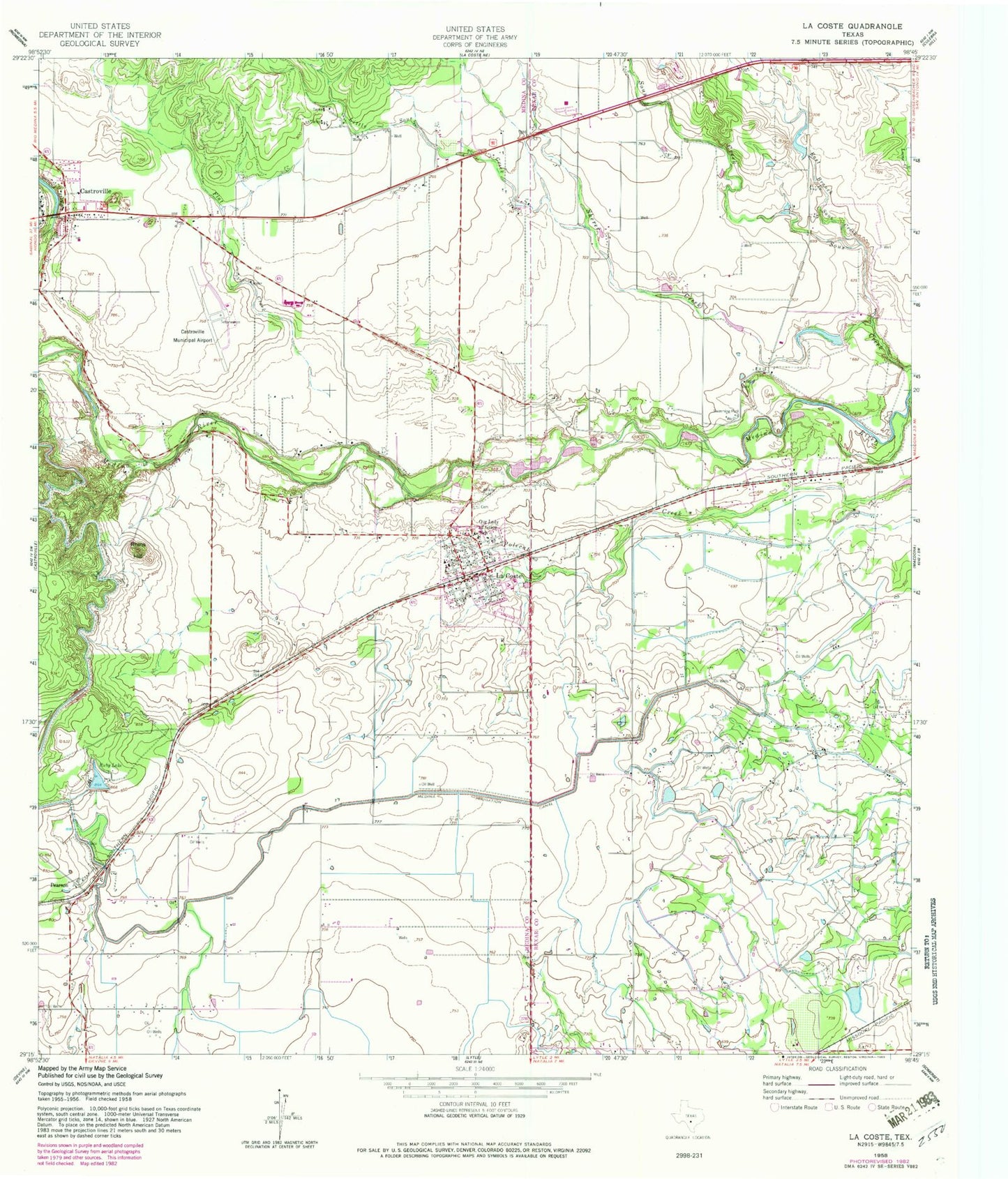
Historical USGS topographic quad map of La Coste in the state of Texas. Map scale may vary for some years, but is generally around 1:24,000. Print size is approximately 24" x 27"
This quadrangle is in the following counties: Atascosa, Bexar, Medina.
The map contains contour lines, roads, rivers, towns, and lakes. Printed on high-quality waterproof paper with UV fade-resistant inks, and shipped rolled.
Contains the following named places: Alamo Angus Ranch Lake, Alamo Angus Ranch Lake Dam, Castroville Historic District, Castroville Municipal Airport, City of Castroville, City of LaCoste, East Branch Big Sous Creek, Flat Creek, Kirby Lake, Kirby Lake Dam, La Coste, La Coste City Hall, La Coste Volunteer Fire Department, LaCoste Police Department, LaCoste Post Office, Landmark Inn Complex, Little Sous Creek, Lytle Airpark, Medina County Constable's Office Precinct 2, Medina Valley Alternative Learning Center, Medina Valley High School, Medina Valley Junior High School, Our Lady of Grace School, Pearson, Rhins Hill, Ruby Lake, Sherer Creek, ZIP Code: 78039