MyTopo
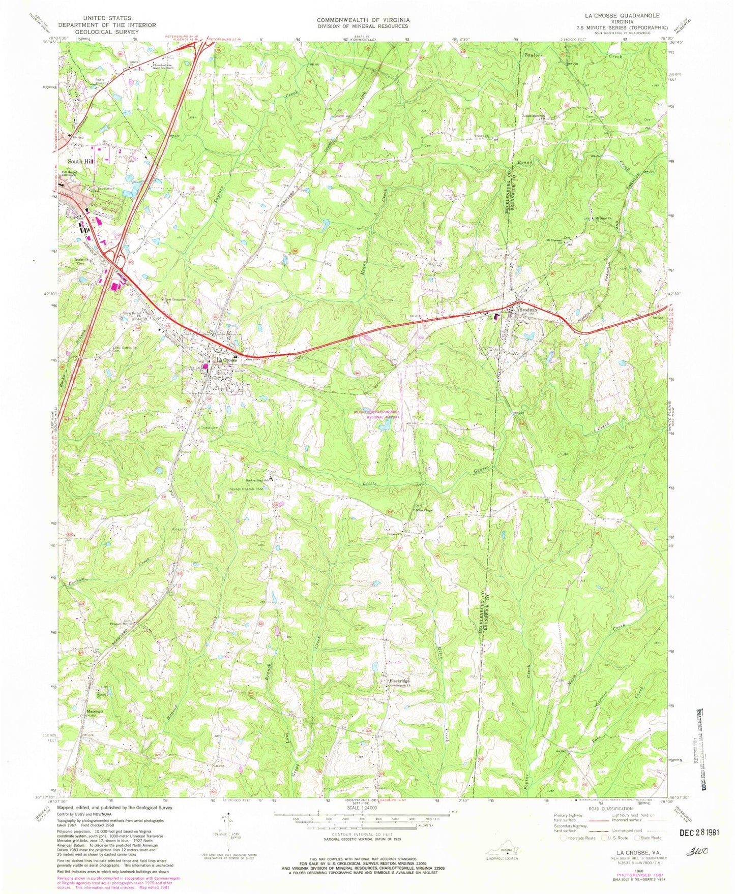
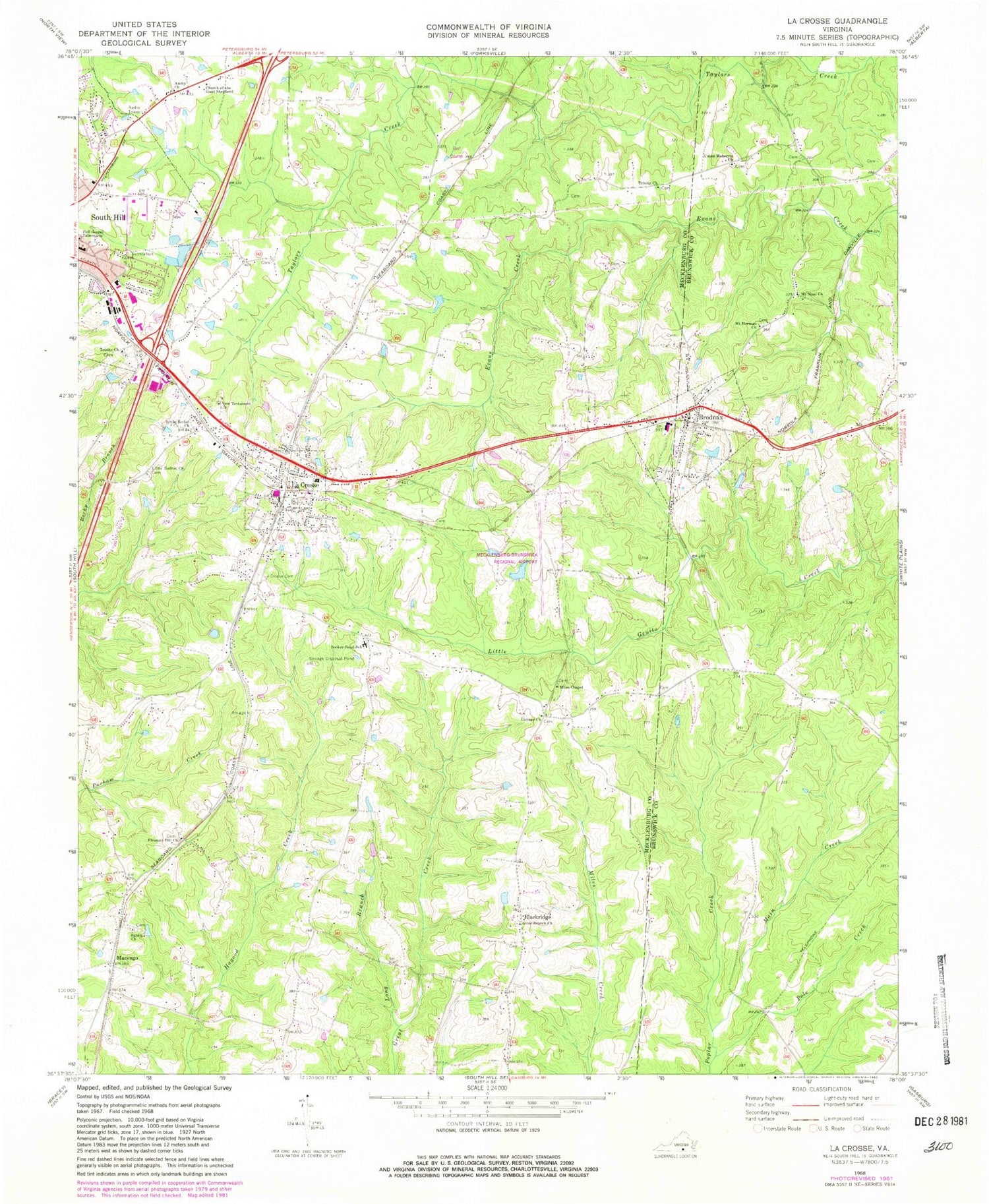
Classic USGS La Crosse Virginia 7.5'x7.5' Topo Map
Couldn't load pickup availability
Historical USGS topographic quad map of La Crosse in the state of Virginia. Map scale may vary for some years, but is generally around 1:24,000. Print size is approximately 24" x 27"
This quadrangle is in the following counties: Brunswick, Mecklenburg.
The map contains contour lines, roads, rivers, towns, and lakes. Printed on high-quality waterproof paper with UV fade-resistant inks, and shipped rolled.
Contains the following named places: American Lifeline Medical Transportation, Amity Church, Bennett Cemetery, Blackridge, Booker-Boyd School, Brodnax, Brodnax Police Department, Brodnax Post Office, Brodnax Volunteer Fire Department Station 2, Canaan Cemetery, Canaan Church, Church of the Good Shepherd, Crestview Memorial Park, District 3, District 5, Full Gospel Tabernacle, Hagood, La Crosse, La Crosse Cemetery, La Crosse Police Department, La Crosse Post Office, La Crosse Volunteer Fire Department Company 5, LaCrosse Elementary School, LaCrosse School, Liberty Grove School, Little Bethel Church, Little Bethel Church Cemetery, Long Branch, Main Creek, Marengo, Mecklenburg-Brunswick Regional Airport, Miles Chapel, Mount Herman Church, Mount Hermon School, Mount Sinai Church, Mount Vernon School, N V Boyd School, New Testament Church, Northside Industrial Park, Olive Branch Cemetery, Olive Branch Church, Pleasant Hill Church, Pole Creek, Raineys Dam, Sardis Church, Smith Cemetery, South Hill Post Office, Town of Brodnax, Town of La Crosse, Trinity Church, Union Meherrin Church, Virginia State Police Division 3 Area 22 Office, Whites Store, Winkle Dam, ZIP Code: 23950


