MyTopo
Classic USGS La Gloria Texas 7.5'x7.5' Topo Map
Regular price
$16.95
Regular price
Sale price
$16.95
Unit price
per
Couldn't load pickup availability
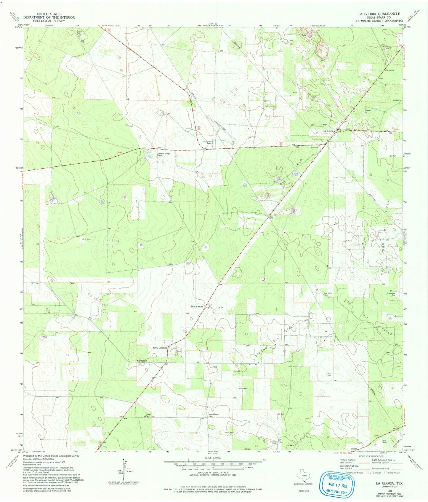
Historical USGS topographic quad map of La Gloria in the state of Texas. Map scale may vary for some years, but is generally around 1:24,000. Print size is approximately 24" x 27"
This quadrangle is in the following counties: Starr.
The map contains contour lines, roads, rivers, towns, and lakes. Printed on high-quality waterproof paper with UV fade-resistant inks, and shipped rolled.
Contains the following named places: Coyote Cemetery, Diamond O Ranch, Diamond O Ranch Airport, La Gloria, Robberson, San Jose Cemetery, Santa Anna, Santa Anna Census Designated Place, Santa Catarina, Santa Elena Post Office, Santa Maria Cemetery, Strong Oil Field, Tangue Allegre Cemetery