MyTopo
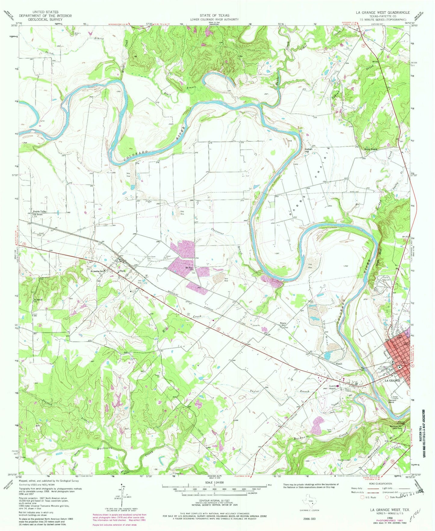
Classic USGS La Grange West Texas 7.5'x7.5' Topo Map
Couldn't load pickup availability
Historical USGS topographic quad map of La Grange West in the state of Texas. Map scale may vary for some years, but is generally around 1:24,000. Print size is approximately 24" x 27"
This quadrangle is in the following counties: Fayette.
The map contains contour lines, roads, rivers, towns, and lakes. Printed on high-quality waterproof paper with UV fade-resistant inks, and shipped rolled.
Contains the following named places: Blair Branch, Buckners Creek, Cedar Creek, Chalk Bluff, City of La Grange, Clear Lake Pines 1, Clear Lake Pines 3, Clear Lake Pines 4, Clear Lake Pines Dam 1, Clear Lake Pines Dam 3, Clear Lake Pines Dam 4, Clement Island, Crownover Branch, Dogwood Branch, Fayette County, Fayette County Jail, Fayette County Sheriff's Office, Fayette Memorial Hospital, Fayette Regional Air Center, Guenther Field/La Grange Municipal Airport, Hill Creek, Indian Creek, Indian Hill, Iron Ore Branch, Jaycee Park, Jordan Creek, Kruschel Memorial Park, Kruschel Park, La Grange, La Grange City Hall, La Grange Division, La Grange Post Office, La Grange Volunteer Fire Department, La Grange West Division, Mantan Cemetery, Miller Creek, Monument Hill, Monument Hill and Kreische Brewery - Brewery Trail, Monument Hill and Kreische Brewery History Trail, Monument Hill and Kreische Brewery Nature Trail, Monument Hill State Park, Mount Maria Spring, Mount Zion Church, Mountain Creek Branch Library, Northwest Branch Library, O'Quinn Branch, Plum, Plum Census Designated Place, Plum Grove Cemetery, Plum Post Office, Prairie Valley, Rabbs Creek, Rabbs Prairie, Saint James Church, Saint Jerome School, Saint Mark's Medical Center, Saint Peters Church, Shiloh Branch, Smalley Creek, State Highway 71 Bridge, Taylor Branch, Taylor Cemetery, Trinity School, Wendt, Williams Cemetery, Zion School, ZIP Code: 78945


