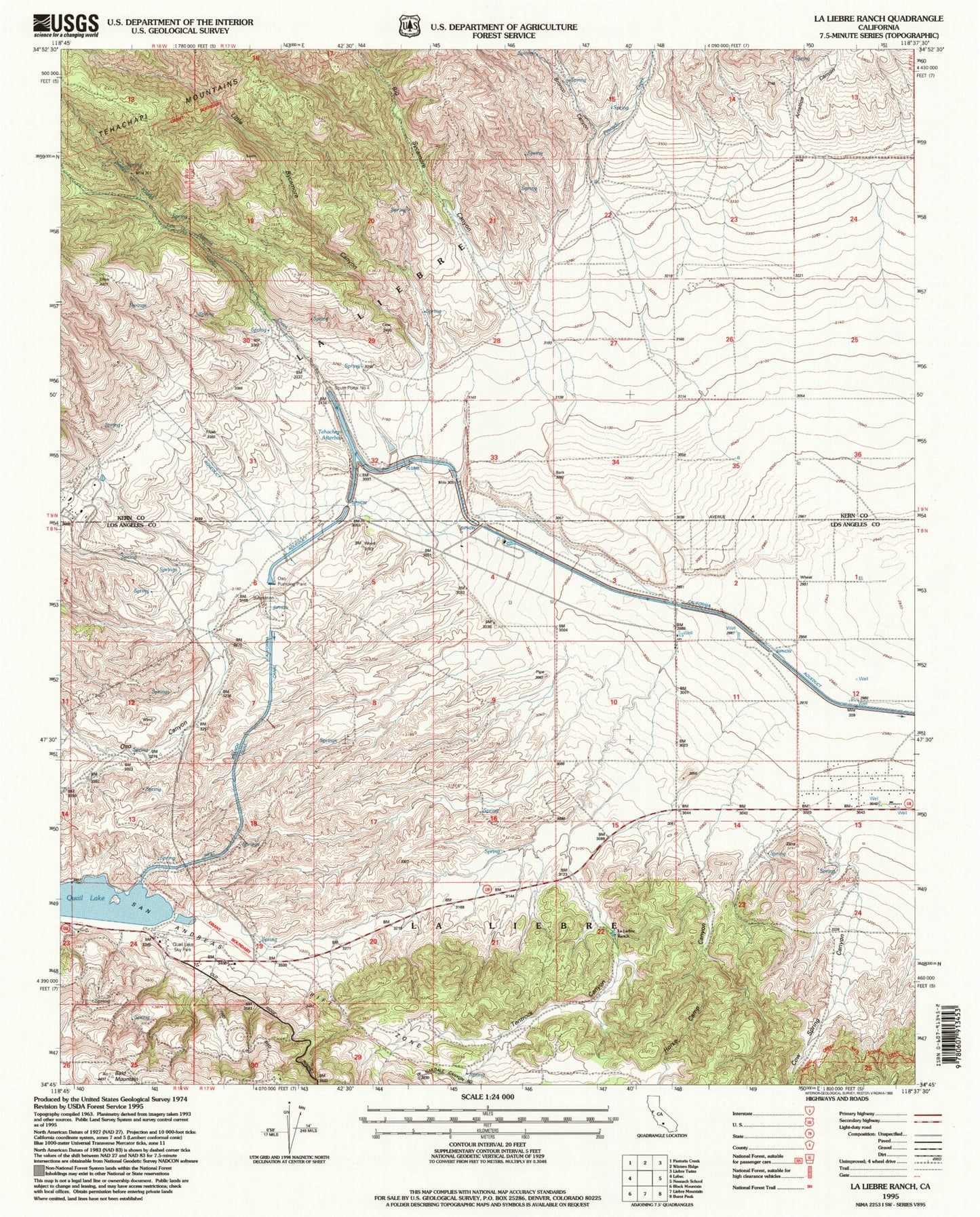
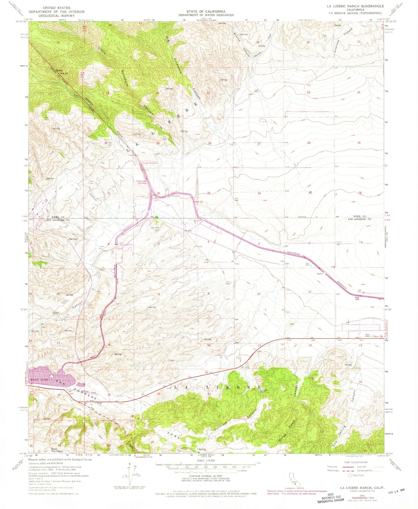
MyTopo
Classic USGS La Liebre Ranch California 7.5'x7.5' Topo Map
Couldn't load pickup availability
Historical USGS topographic quad map of La Liebre Ranch in the state of California. Map scale may vary for some years, but is generally around 1:24,000. Print size is approximately 24" x 27"
This quadrangle is in the following counties: Kern, Los Angeles.
The map contains contour lines, roads, rivers, towns, and lakes. Printed on high-quality waterproof paper with UV fade-resistant inks, and shipped rolled.
Contains the following named places: Antelope Canyon, Barnes Ranch, Big Sycamore Canyon, Bronco Canyon, Carley V Porter Tunnel, Cottonwood Canyon, Cow Spring Canyon, Horse Camp Canyon, La Liebre, La Liebre Ranch, Little Sycamore Canyon, Los Alamos Creek, Oso Canyon, Oso Pumping Plant, Pescado Creek, Quail Lake, Quail Lake Sky Park, South Portal Number Four, Tehachapi Afterbay, Tentrock Canyon