MyTopo
Classic USGS La Madre Mountain Nevada 7.5'x7.5' Topo Map
Regular price
$16.95
Regular price
Sale price
$16.95
Unit price
per
Couldn't load pickup availability
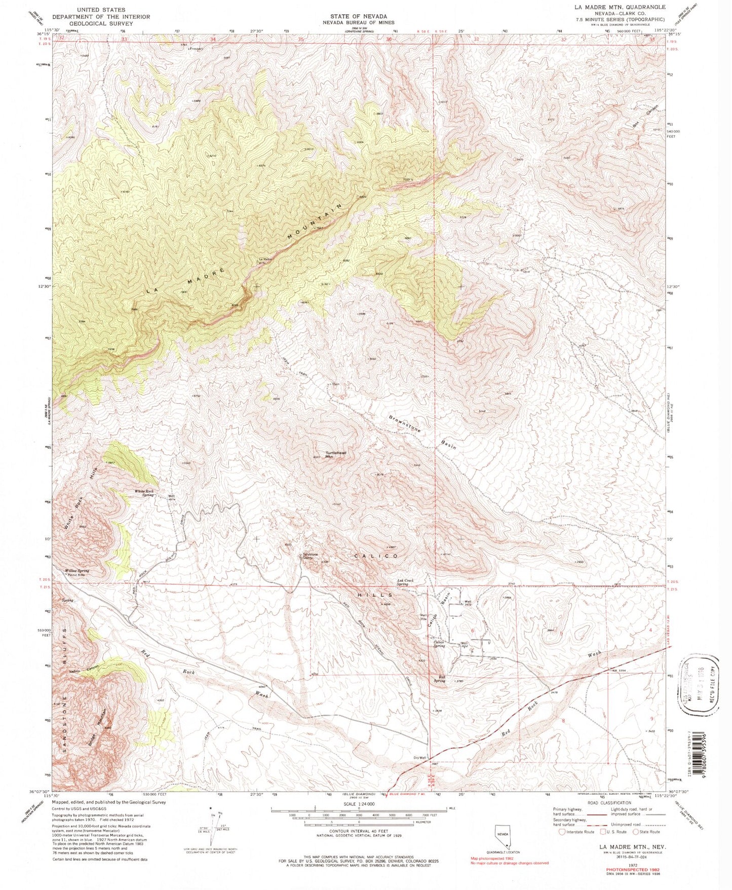
Historical USGS topographic quad map of La Madre Mountain in the state of Nevada. Typical map scale is 1:24,000, but may vary for certain years, if available. Print size: 24" x 27"
This quadrangle is in the following counties: Clark.
The map contains contour lines, roads, rivers, towns, and lakes. Printed on high-quality waterproof paper with UV fade-resistant inks, and shipped rolled.
Contains the following named places: Ash Creek Spring, Bridge Mountain, Calico Basin, Calico Spring, Icebox Canyon, Red Spring, Turtlehead Mountain, White Rock Hills, White Rock Spring, Willow Spring, Calico Hills, Brownstone Basin, Lost Lake, Lost Creek Canyon, Rocky Gap Campgrounds, La Madre Mountain