MyTopo
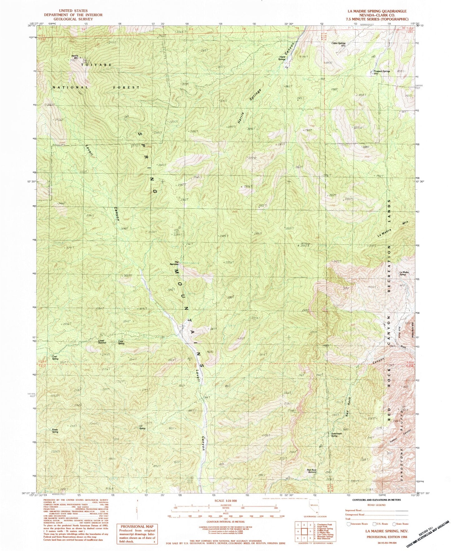
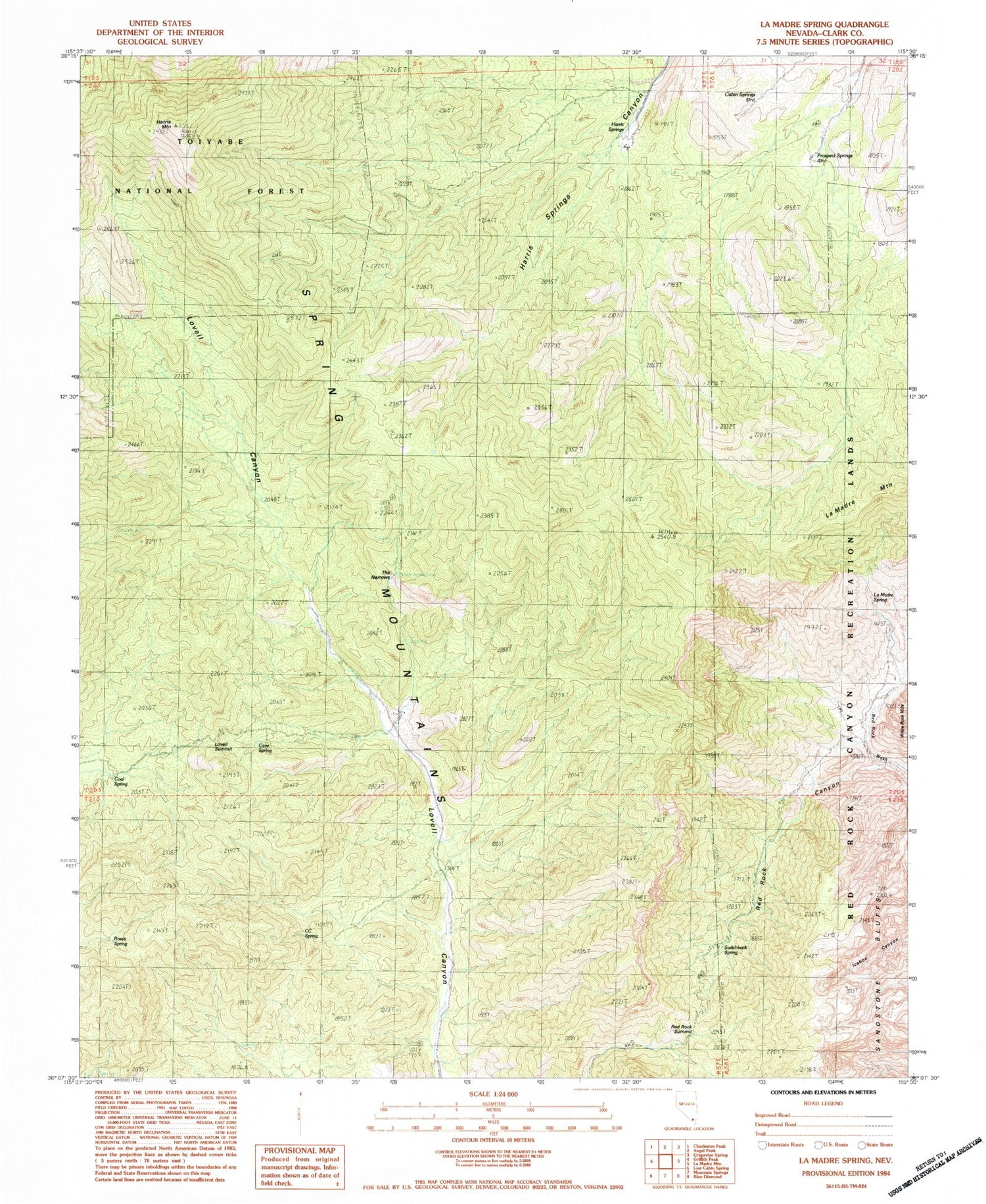
Classic USGS La Madre Spring Nevada 7.5'x7.5' Topo Map
Couldn't load pickup availability
Historical USGS topographic quad map of La Madre Spring in the state of Nevada. Typical map scale is 1:24,000, but may vary for certain years, if available. Print size: 24" x 27"
This quadrangle is in the following counties: Clark.
The map contains contour lines, roads, rivers, towns, and lakes. Printed on high-quality waterproof paper with UV fade-resistant inks, and shipped rolled.
Contains the following named places: Wilson Ridge, Pine Creek Canyon Natural Area, CC Spring, Cabin Springs, Cave Spring, Coal Spring, Harris Springs, La Madre Spring, Lovell Summit, Prospect Springs, Red Rock Canyon, Red Rock Summit, Roberts Ranch, Roses Spring, Sandstone Bluffs, Switchback Spring, The Narrows, Harris Mountain, Caybank Spring, Sheep Spring, South Fork Spring, Cane Spring, Gallon Tank Spring, Bootlegger Spring, White Point Spring, Big Timber Spring, Center Springs, Harris Spring Ranch, Griffith Peak Trail, Griffith Peak Trailhead, Willow Canyon, La Madre Mountain Wilderness


