MyTopo
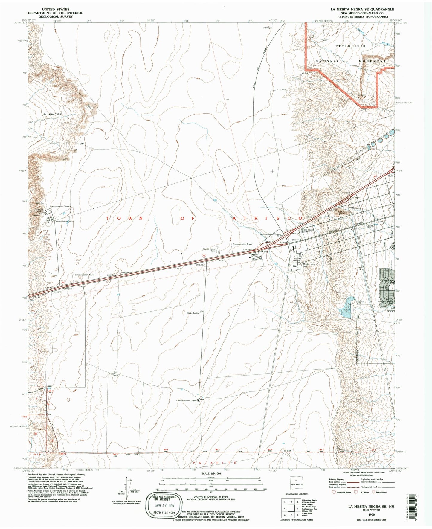
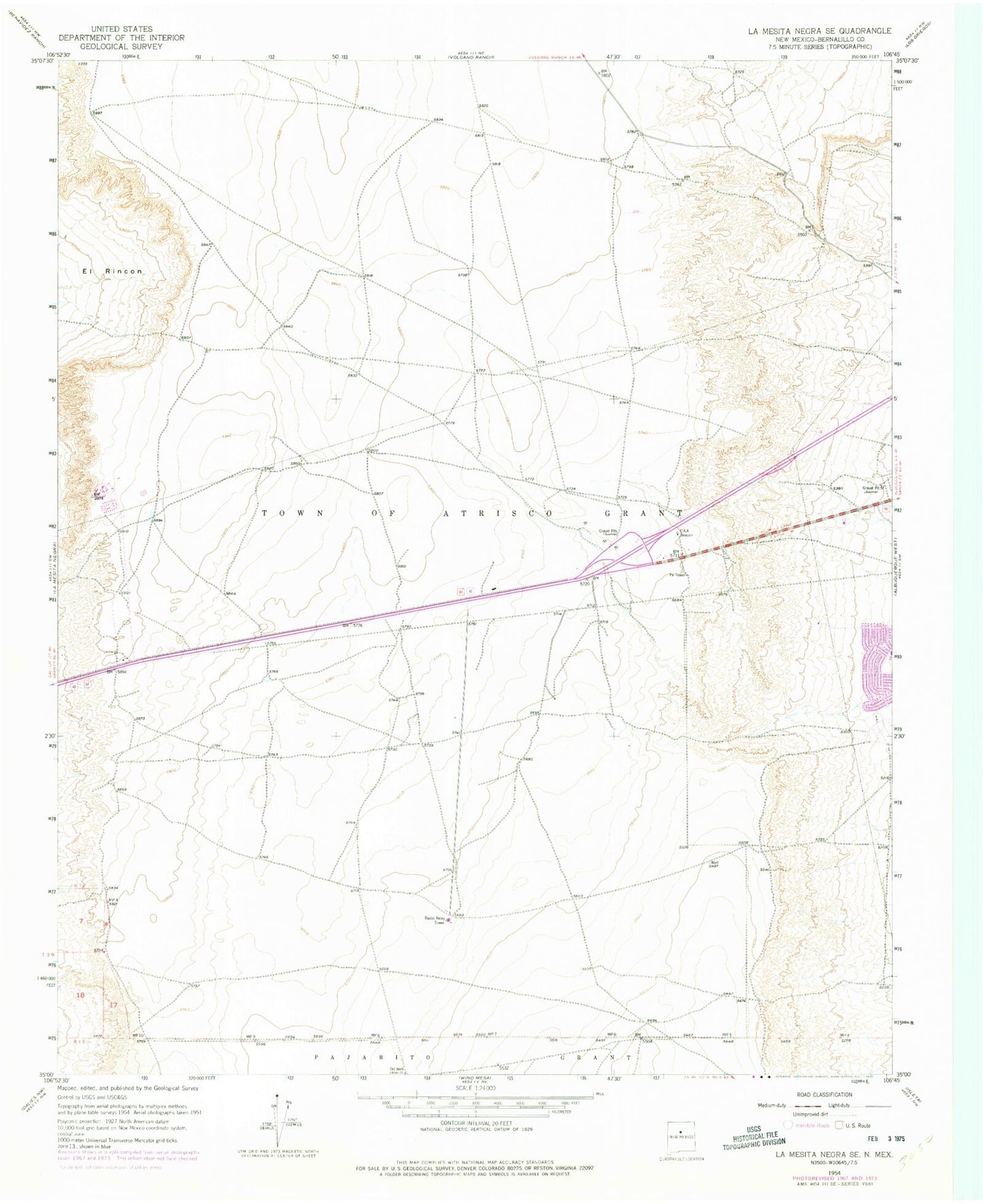
Classic USGS La Mesita Negra SE New Mexico 7.5'x7.5' Topo Map
Couldn't load pickup availability
Historical USGS topographic quad map of La Mesita Negra SE in the state of New Mexico. Map scale may vary for some years, but is generally around 1:24,000. Print size is approximately 24" x 27"
This quadrangle is in the following counties: Bernalillo.
The map contains contour lines, roads, rivers, towns, and lakes. Printed on high-quality waterproof paper with UV fade-resistant inks, and shipped rolled.
Contains the following named places: 1049 FT PZ Water Well, 1175 FT PZ Water Well, 87121, Albuquerque Fire Department Training Academy, Atrisco Village Park, Carlos Rey Elementary School, Carlos Rey Park, Don Number 1 Water Well, KBBU-FM (Los Lunas), KMYI-FM (Armijo), KWQK-FM (Albuquerque), Metropolitan Detention Center, MW-2 Water Well, MW-3 Water Well, Oncho Grande Water Well, Park Plaza, Quebrar, Town of Atrisco Grant, West Mesa 1 A Water Well


