MyTopo
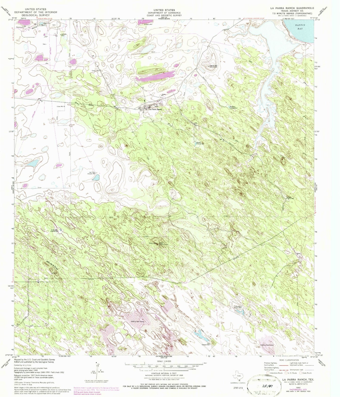
Classic USGS La Parra Ranch Texas 7.5'x7.5' Topo Map
Couldn't load pickup availability
Historical USGS topographic quad map of La Parra Ranch in the state of Texas. Map scale may vary for some years, but is generally around 1:24,000. Print size is approximately 24" x 27"
This quadrangle is in the following counties: Kenedy.
The map contains contour lines, roads, rivers, towns, and lakes. Printed on high-quality waterproof paper with UV fade-resistant inks, and shipped rolled.
Contains the following named places: Alto de la Cruz, Atravesada Artesian Well, Bordas Artesian Well, Cabillos Well, Cobas Well, Eberia Well, La Parra Ranch, La Parra Ranch Airport, Labores Well, Las Flores Artesian Well, Miralejos Artesian Well, Padre Alejos Artesian Well, Pete Artesian Well, Risken Lookout Tower, Risken Well, Tacolote Artesian Well, Tomas Well