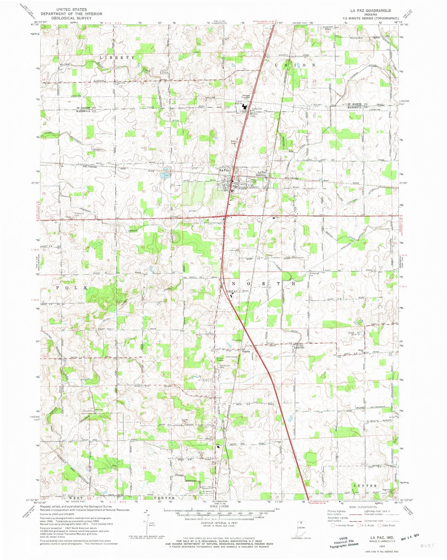
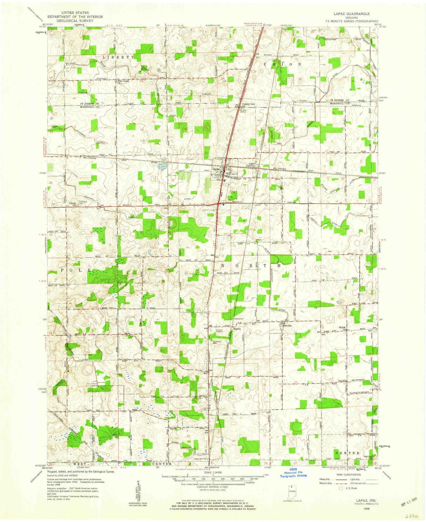
MyTopo
Classic USGS La Paz Indiana 7.5'x7.5' Topo Map
Couldn't load pickup availability
Historical USGS topographic quad map of La Paz in the state of Indiana. Map scale may vary for some years, but is generally around 1:24,000. Print size is approximately 24" x 27"
This quadrangle is in the following counties: Marshall, St. Joseph.
The map contains contour lines, roads, rivers, towns, and lakes. Printed on high-quality waterproof paper with UV fade-resistant inks, and shipped rolled.
Contains the following named places: Angus Farm, Birkey Private Airport, Cashen Farms, Center Church, County Line Church, Davenport Farms, Elmer Seltenright Ditch, Emma Mishler Ditch, Fair Cemetery, Fairmount Cemetery, Harris, Harris Arm, Highway Acres, Jesse McKesson Ditch, La Paz, La Paz - North Township Volunteer Fire Department, La Paz Junction, La Paz Post Office, Lapaz Elementary School, Laville Junior-Senior High School, Lehman Ditch, Linkville, Mangun Arm, Martin Ditch, Mount Zion Cemetery, Nighthart Cemetery, Oliver Heckaman Ditch, Pine Creek, Pine Creek Church, Sherk Field, Shiloh Church, Town of La Paz, Township of North, William Forsythe Ditch, ZIP Code: 46537