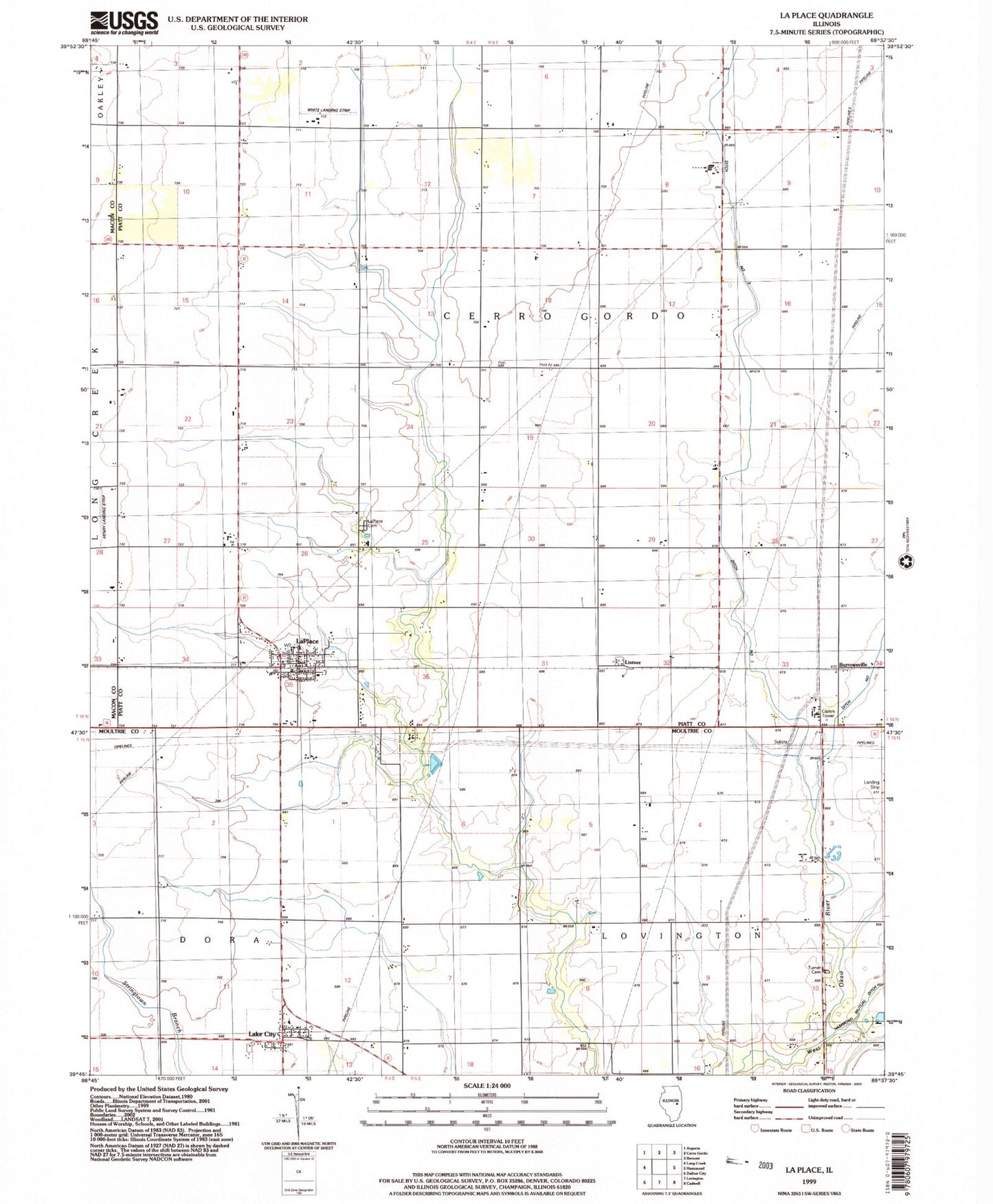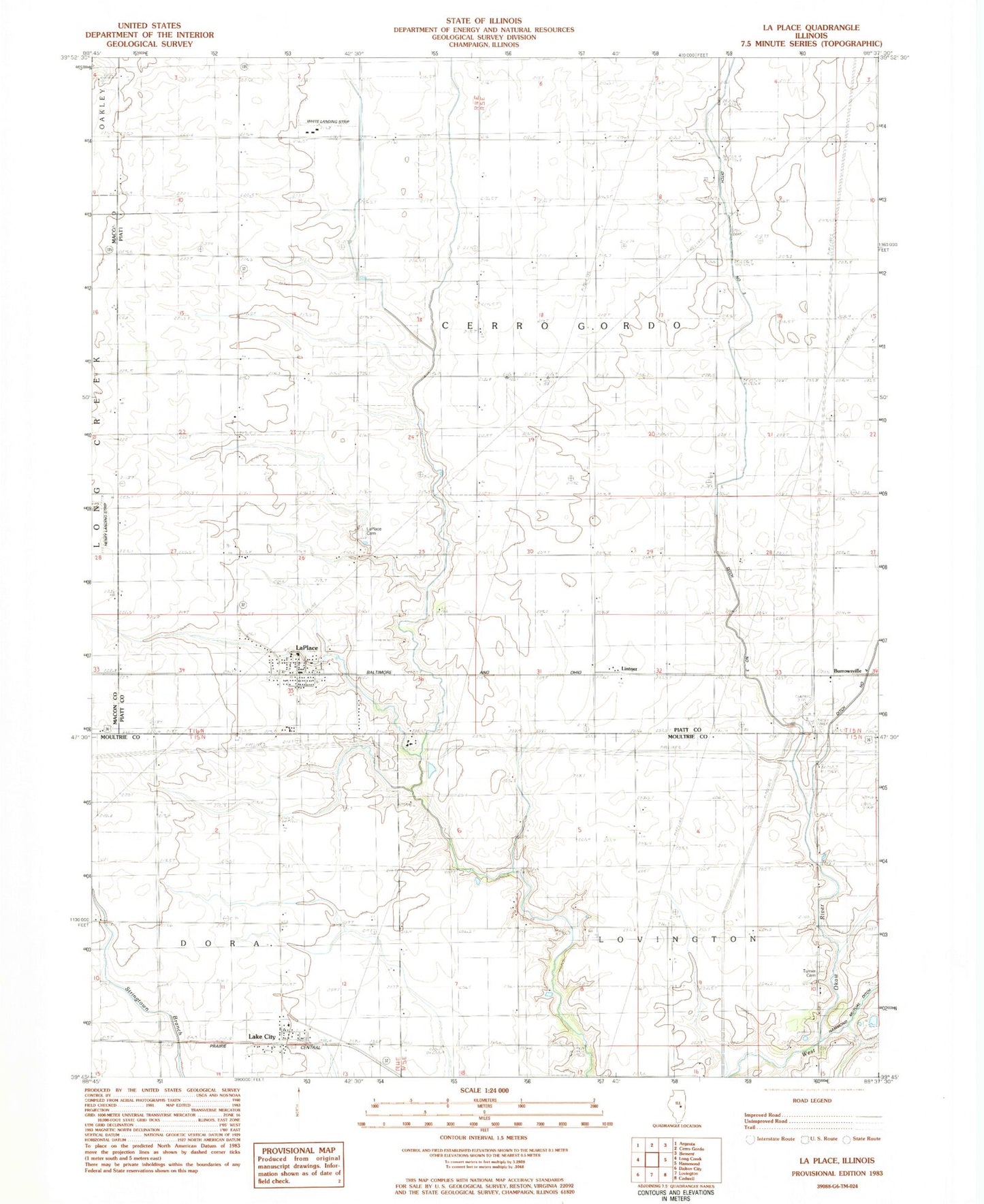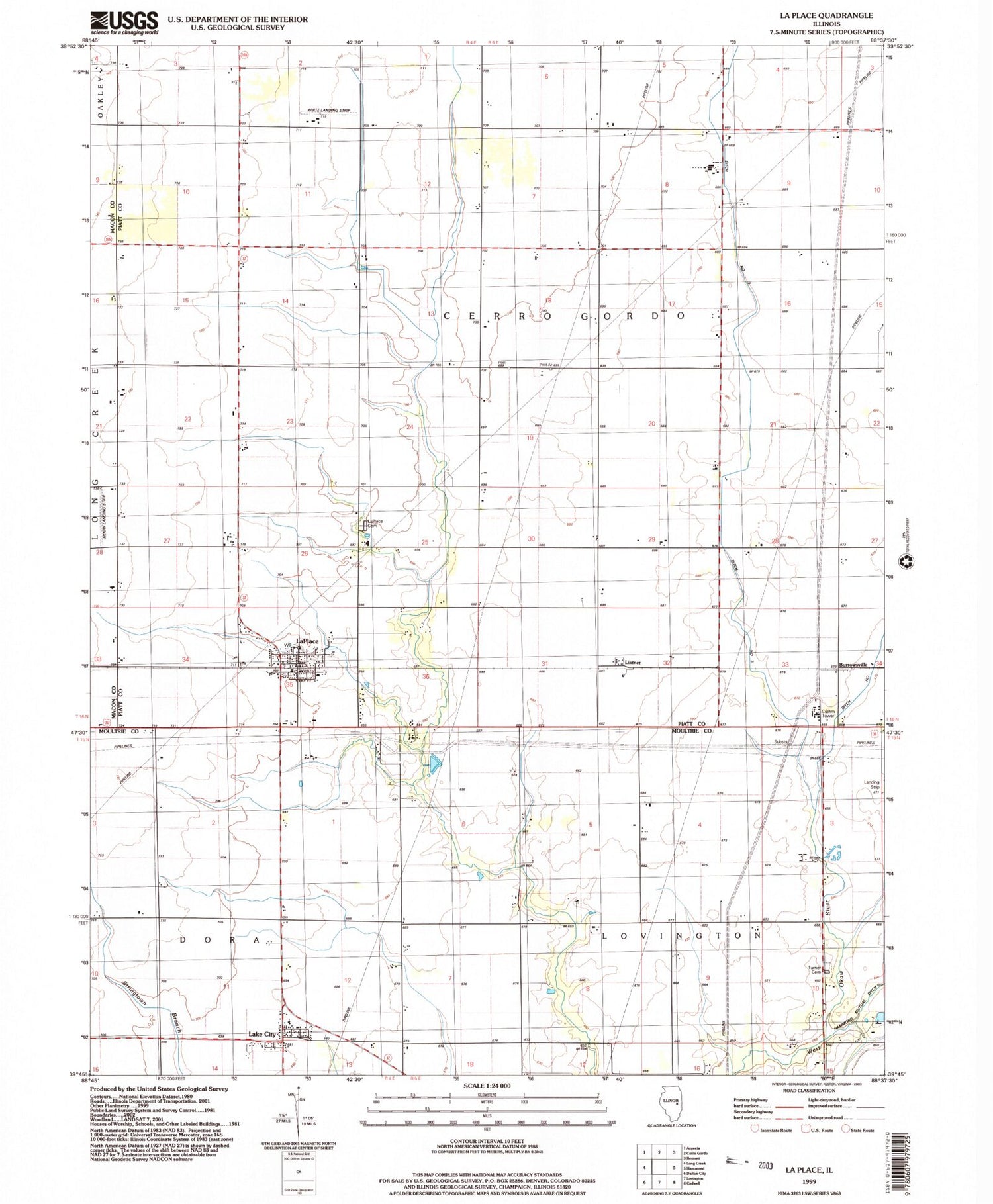
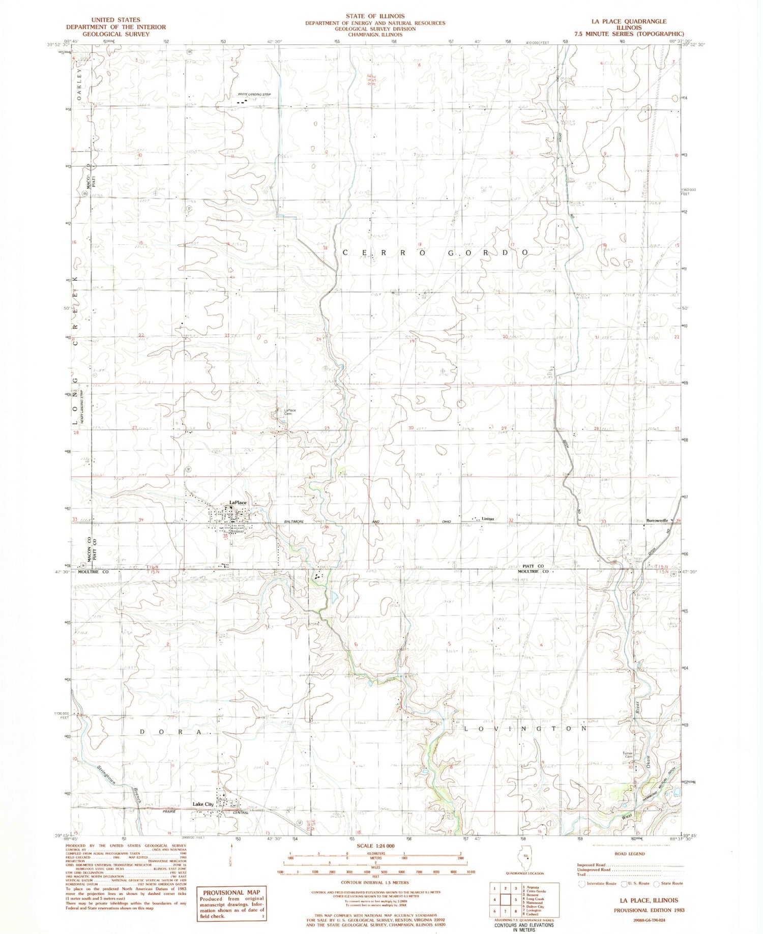
MyTopo
Classic USGS La Place Illinois 7.5'x7.5' Topo Map
Couldn't load pickup availability
Historical USGS topographic quad map of La Place in the state of Illinois. Map scale may vary for some years, but is generally around 1:24,000. Print size is approximately 24" x 27"
This quadrangle is in the following counties: Macon, Moultrie, Piatt.
The map contains contour lines, roads, rivers, towns, and lakes. Printed on high-quality waterproof paper with UV fade-resistant inks, and shipped rolled.
Contains the following named places: Asbury Church, Burrowsville, Dawson Farms Airport, Ditch Number 3, Dora Township Fire Protection District Lake City, Hammond Mutual Ditch, Henry Airport, La Place Cemetery, La Place Post Office, Lake City, Lake City Census Designated Place, LaPlace, LaPlace Cemetery, LaPlace Census Designated Place, Lintner, Township of Cerro Gordo, Turner Cemetery, White Landing Strip, ZIP Codes: 61929, 61936