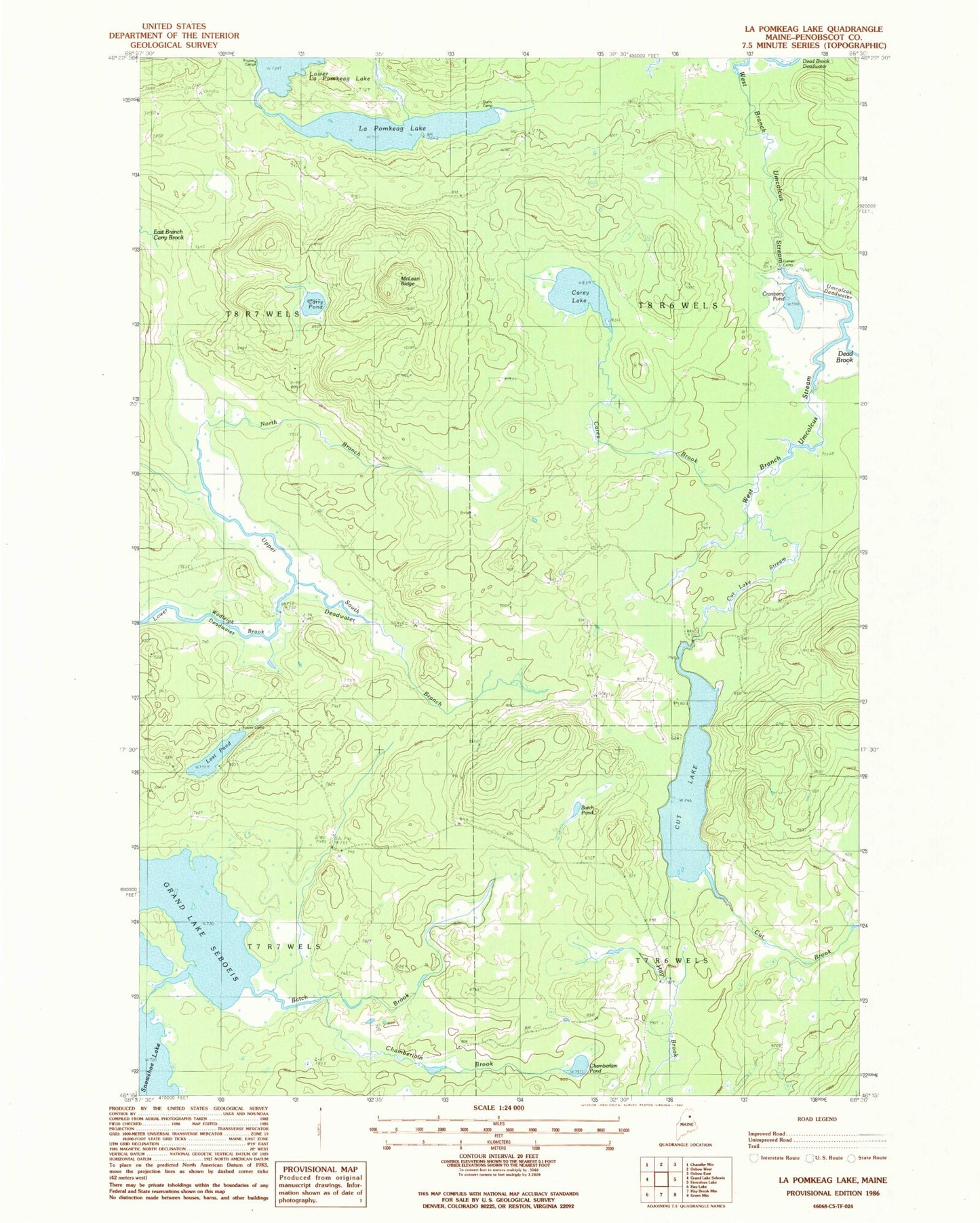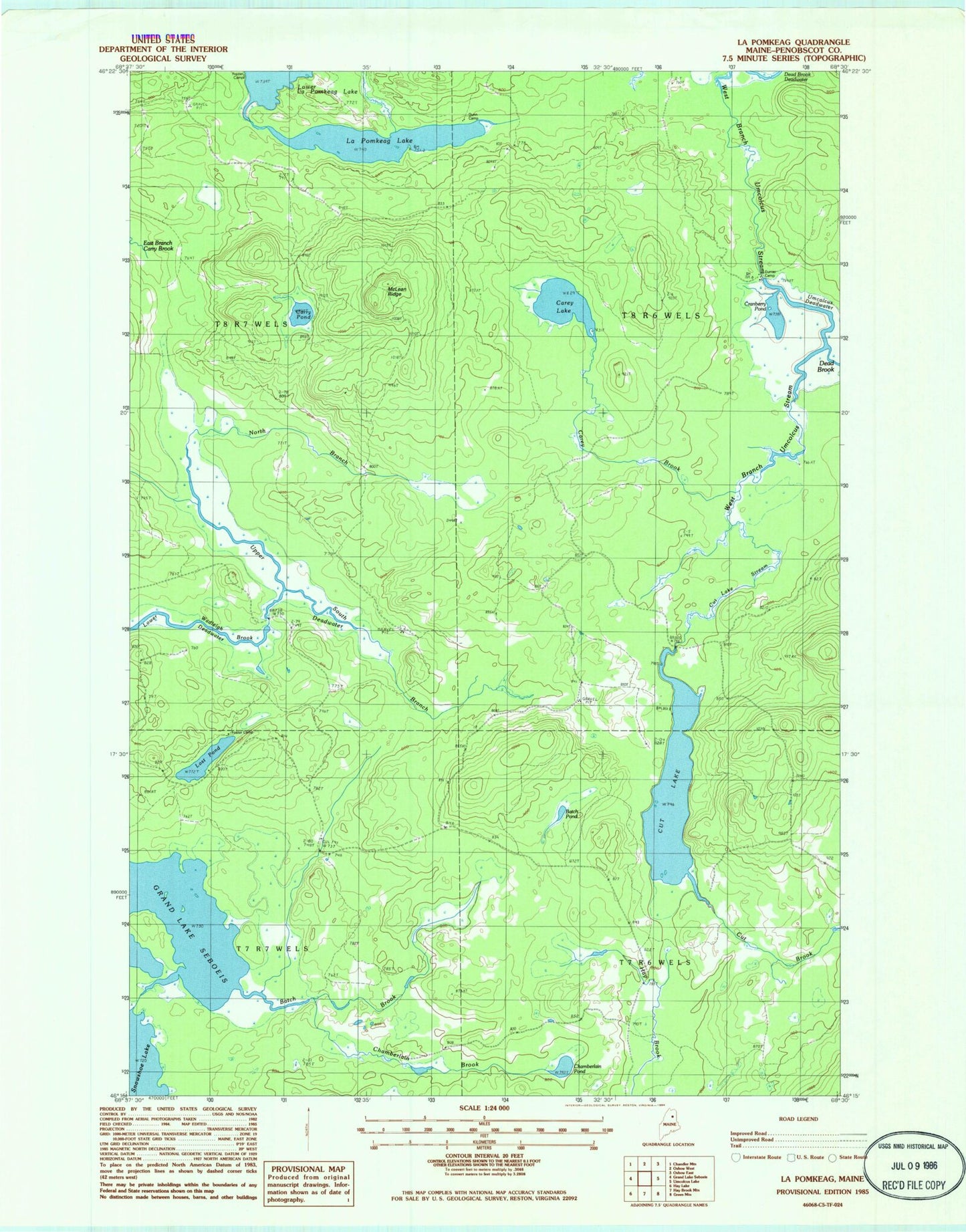
MyTopo
Classic USGS La Pomkeag Lake Maine 7.5'x7.5' Topo Map
Couldn't load pickup availability
Historical USGS topographic quad map of La Pomkeag Lake in the state of Maine. Map scale may vary for some years, but is generally around 1:24,000. Print size is approximately 24" x 27"
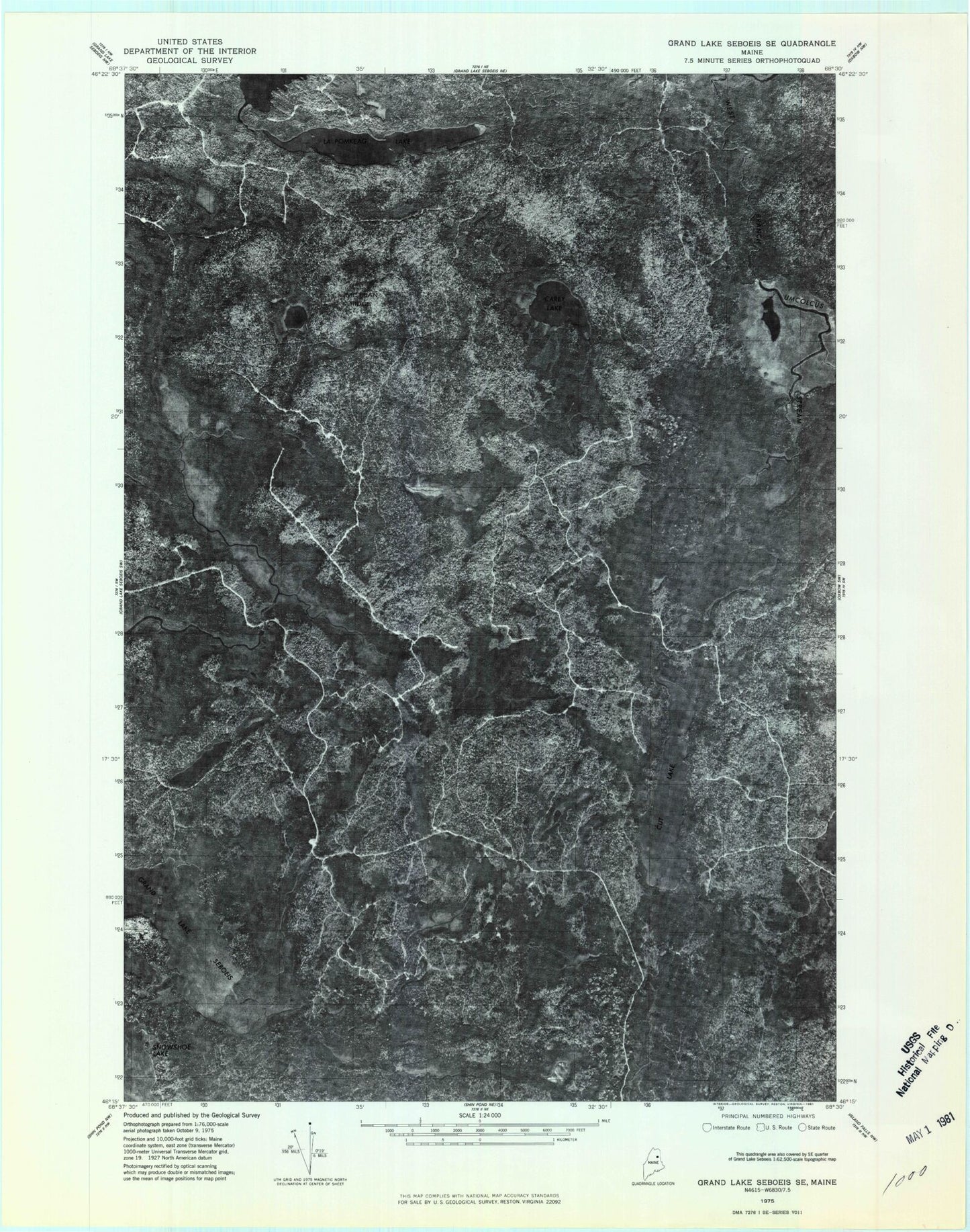
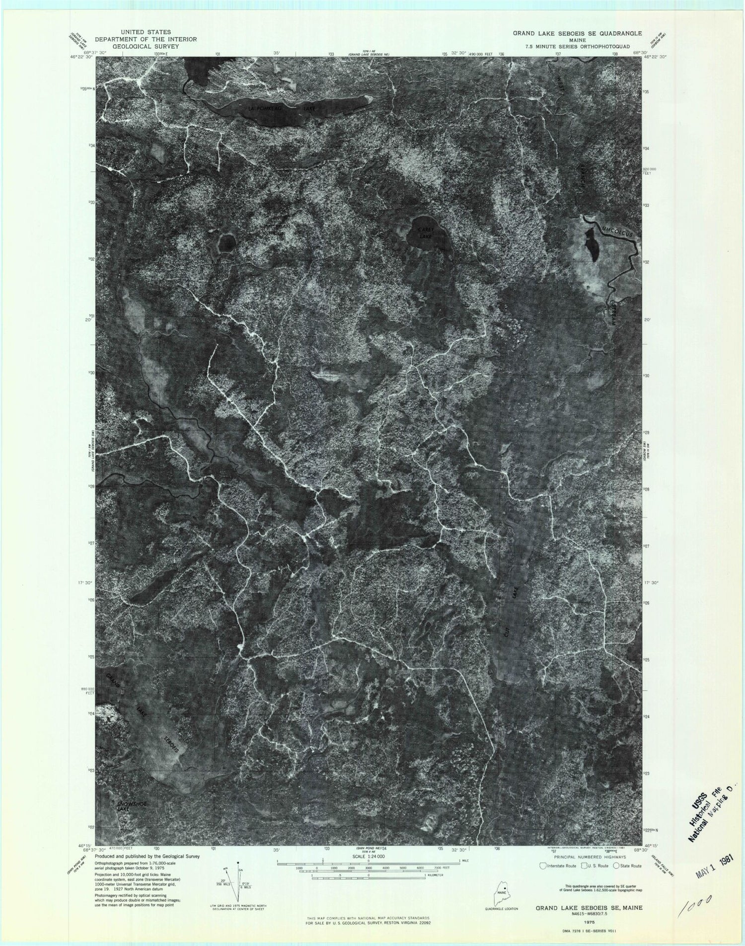
This quadrangle is in the following counties: Penobscot.
The map contains contour lines, roads, rivers, towns, and lakes. Printed on high-quality waterproof paper with UV fade-resistant inks, and shipped rolled.
Contains the following named places: Batch Brook, Batch Pond, Carey Brook, Carey Lake, Carry Pond, Chamberlain Brook, Chamberlain Pond, Cranberry Pond, Cut Brook, Cut Lake, Cut Lake Stream, Dead Brook, Dead Brook Deadwater, Dunn Camp, Foster Camp, Frazier Camp, LaPomkeag Lake, Lost Pond, Lower Deadwater, Lower LaPomkeag Lake, McLean Ridge, North Branch Wadleigh Brook, South Branch Wadleigh Brook, T7 R6 WELS, T8 R6 WELS, Umcolcus Deadwater, Upper Deadwater