MyTopo
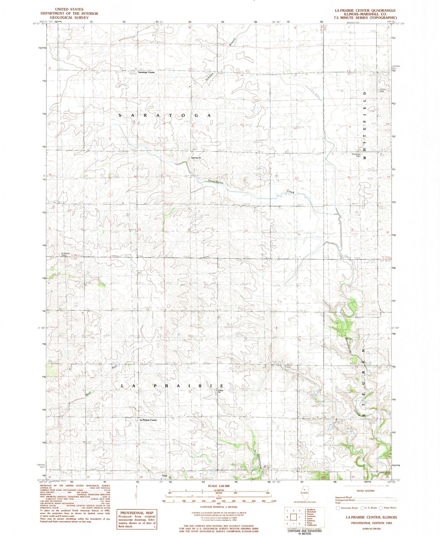
Classic USGS La Prairie Center Illinois 7.5'x7.5' Topo Map
Couldn't load pickup availability
Historical USGS topographic quad map of La Prairie Center in the state of Illinois. Map scale may vary for some years, but is generally around 1:24,000. Print size is approximately 24" x 27"
This quadrangle is in the following counties: Marshall.
The map contains contour lines, roads, rivers, towns, and lakes. Printed on high-quality waterproof paper with UV fade-resistant inks, and shipped rolled.
Contains the following named places: Collins School, Coulter School, Doyle School, Drake School, Henry Fire Protection District Station 2, Hull School, Kaifer School, La Prairie Center, La Prairie United Presbyterian Church, Mansfield Cemetery, McVicker School, Red Town School, Rickey School, Saint Patrick Cemetery, Saratoga Center, Saratoga Church, Senachwine School, Smith School, Township of La Prairie, Township of Saratoga, ZIP Code: 61565