MyTopo
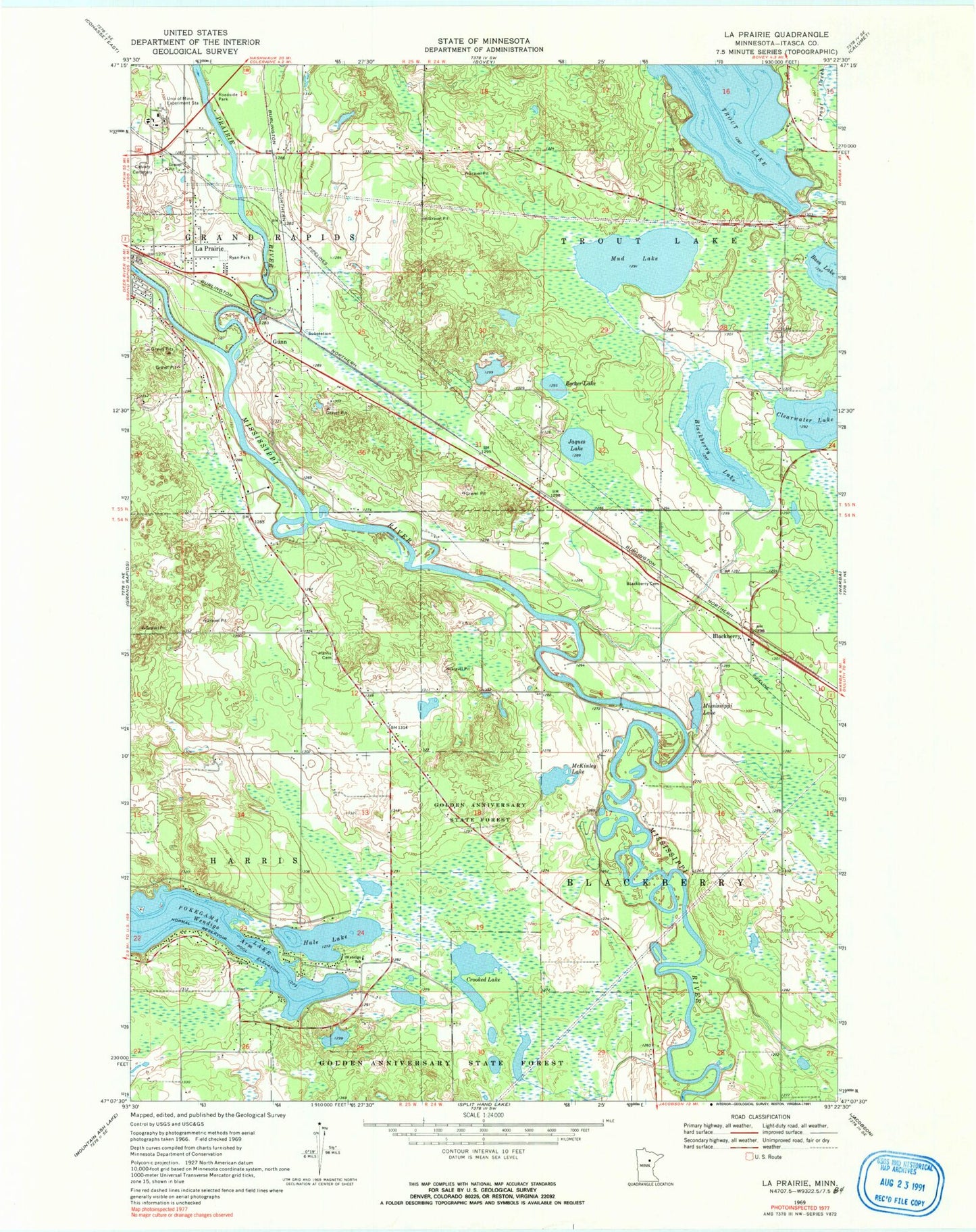
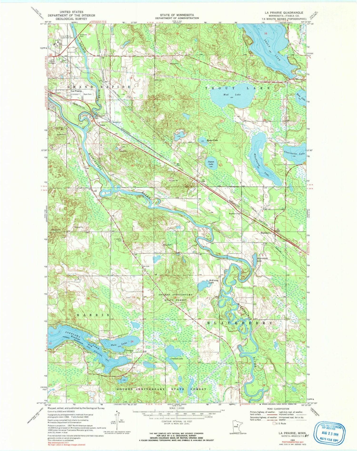
Classic USGS La Prairie Minnesota 7.5'x7.5' Topo Map
Couldn't load pickup availability
Historical USGS topographic quad map of La Prairie in the state of Minnesota. Map scale may vary for some years, but is generally around 1:24,000. Print size is approximately 24" x 27"
This quadrangle is in the following counties: Itasca.
The map contains contour lines, roads, rivers, towns, and lakes. Printed on high-quality waterproof paper with UV fade-resistant inks, and shipped rolled.
Contains the following named places: Bass Lake, Becker Lake, Blackberry, Blackberry Cemetery, Blackberry Lake, Blackberry Post Office, Blackberry Seventh Day Adventist Church, City of La Prairie, Clearwater Lake, Country Acres Mobile Home Park, Crooked Lake, Gunn, Hale Lake, Harris Cemetery, Itasca Calvary Cemetery, Itasca Community College, Jaques Lake, KOZY-AM (Grand Rapids), La Prairie, La Prarie River Wayside Park, Laprairie Post Office, Maranatha Grace Brethren Church, McKinley Lake, Midway Mobile Home Park, Mississippi Lake, Mud Lake, Prairie River, Ryan Park, Solid Rock Church of God, Split Hand Community Church, Township of Blackberry, Township of Trout Lake, University of Minnesota Experiment Station, Wendigo Golf Course, Wendigo School


