MyTopo
Classic USGS La Pryor SE Texas 7.5'x7.5' Topo Map
Regular price
$16.95
Regular price
Sale price
$16.95
Unit price
per
Couldn't load pickup availability
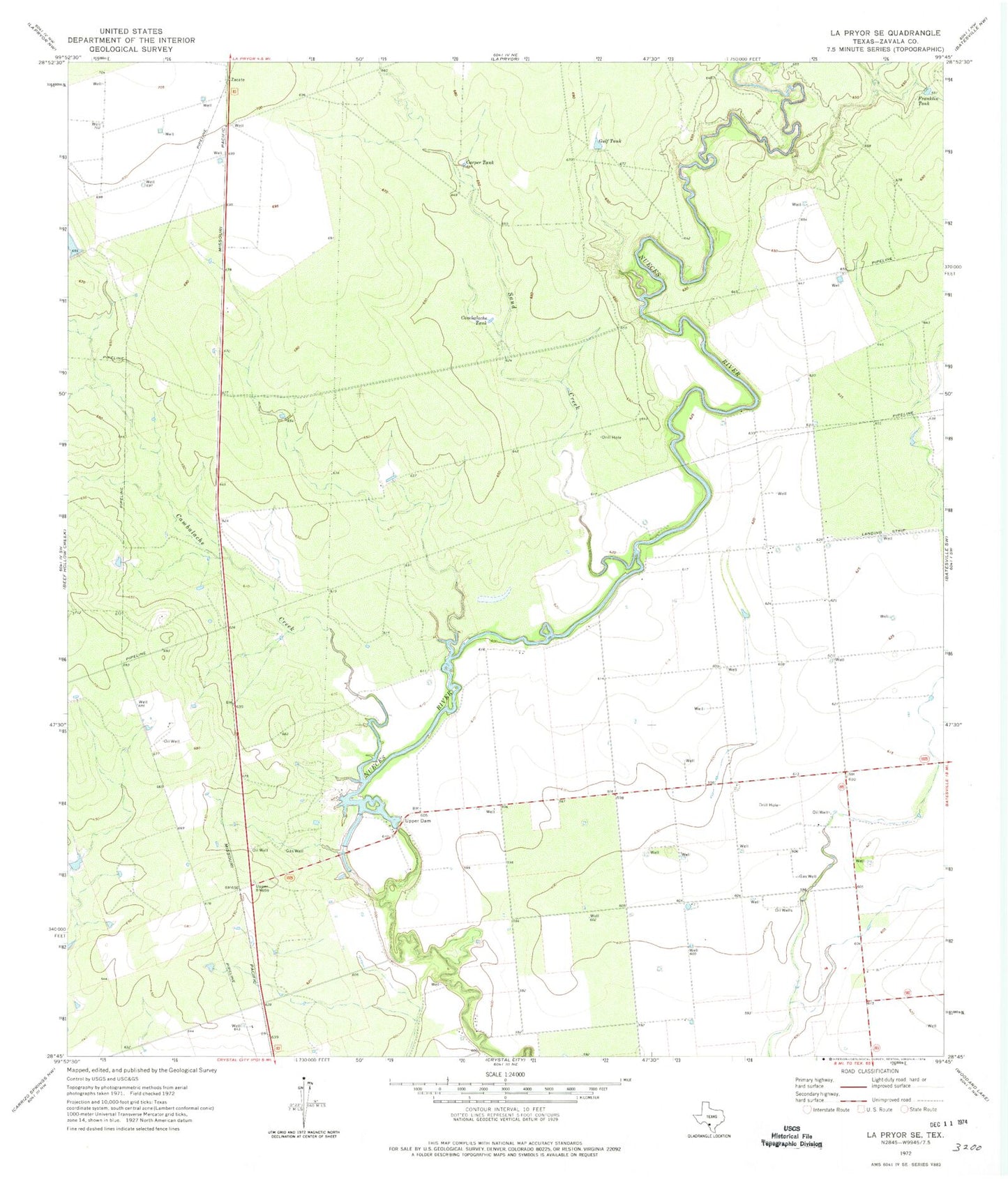
Historical USGS topographic quad map of La Pryor SE in the state of Texas. Map scale may vary for some years, but is generally around 1:24,000. Print size is approximately 24" x 27"
This quadrangle is in the following counties: Zavala.
The map contains contour lines, roads, rivers, towns, and lakes. Printed on high-quality waterproof paper with UV fade-resistant inks, and shipped rolled.
Contains the following named places: Cambalache Creek, Cambalache Tank, Carper Tank, Crystal City Division, Franklin Tank, Gulf Tank, H & F Properties Airport, Nueces Campsite Lots Colonia, Sand Creek, T C Stricklin Lake Dam, Upper Dam, Upper Lake, Upper Lake Dam, Zavala County