MyTopo
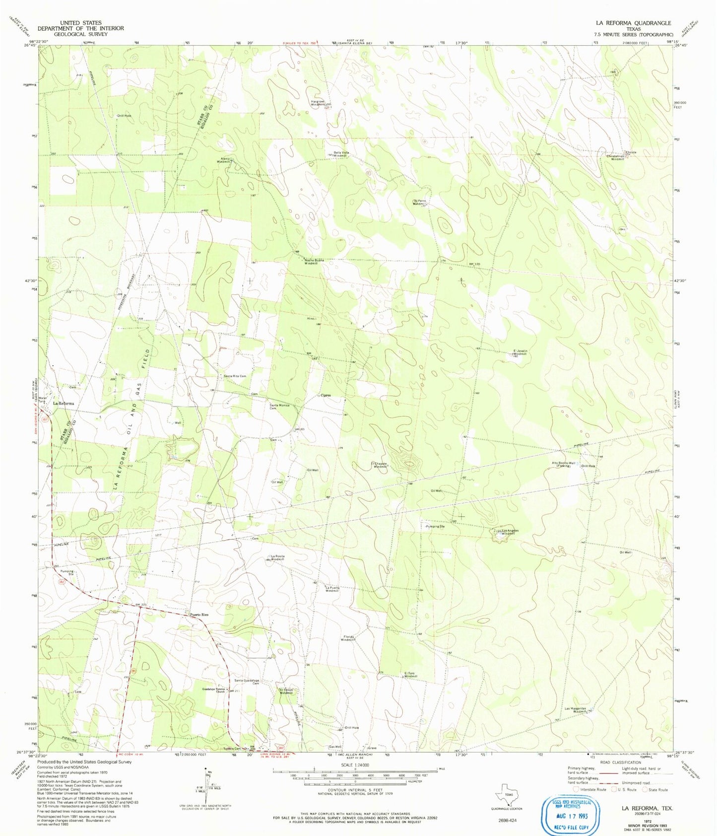
Classic USGS La Reforma Texas 7.5'x7.5' Topo Map
Couldn't load pickup availability
Historical USGS topographic quad map of La Reforma in the state of Texas. Map scale may vary for some years, but is generally around 1:24,000. Print size is approximately 24" x 27"
This quadrangle is in the following counties: Hidalgo, Starr.
The map contains contour lines, roads, rivers, towns, and lakes. Printed on high-quality waterproof paper with UV fade-resistant inks, and shipped rolled.
Contains the following named places: Alaniz Windmill, Alto Bonito Well, Bella Vista Windmill, Christalinas Windmill, Cipres, El Chapote Windmill, El Javalin Windmill, El Nuevo Windmill, El Perro Windmill, El Torero Windmill, El Toro Windmill, Florida Windmill, Guadalupe Toreros Church, Hargrove Windmill, La Pureta Windmill, La Reforma, La Rosita Windmill, Las Margaritas Windmill, Los Angeles Windmill, Noche Buena Windmill, Puerto Rico, Santa Guadalupe Cemetery, Santa Monica Cemetery, Santa Rita Cemetery, ZIP Code: 78563