
MyTopo
Classic USGS La Rose Illinois 7.5'x7.5' Topo Map
Couldn't load pickup availability
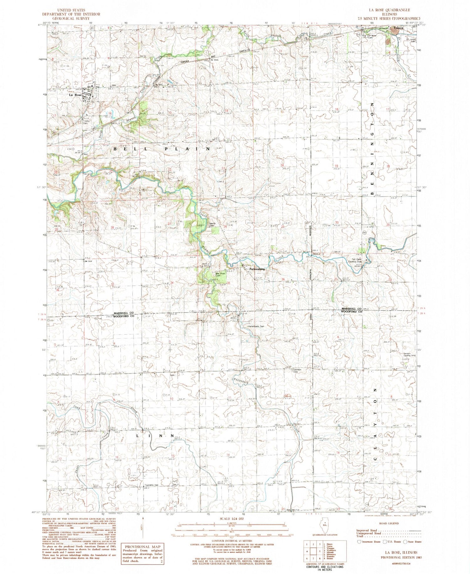
Historical USGS topographic quad map of La Rose in the state of Illinois. Map scale may vary for some years, but is generally around 1:24,000. Print size is approximately 24" x 27"
This quadrangle is in the following counties: Marshall, Woodford.
The map contains contour lines, roads, rivers, towns, and lakes. Printed on high-quality waterproof paper with UV fade-resistant inks, and shipped rolled.
Contains the following named places: Bell Plain Baptist Cemetery, Davison Cemetery, Davison RLA Airport, Hallenback Creek, Hawk Cemetery, Hollenback Cemetery, La Rose, La Rose Post Office, Linn Township Hall, Martin Cemetery, Pattonsburg, Saint Anns Cemetery, Saint Johns Cemetery, Snake Creek, Tall Oaks Country Club, Toluca Fire Protection District and Ambulance Service, Township of Bell Plain, Township of Linn, Trinity Lutheran Cemetery, Village of La Rose, ZIP Codes: 61369, 61541


