
MyTopo
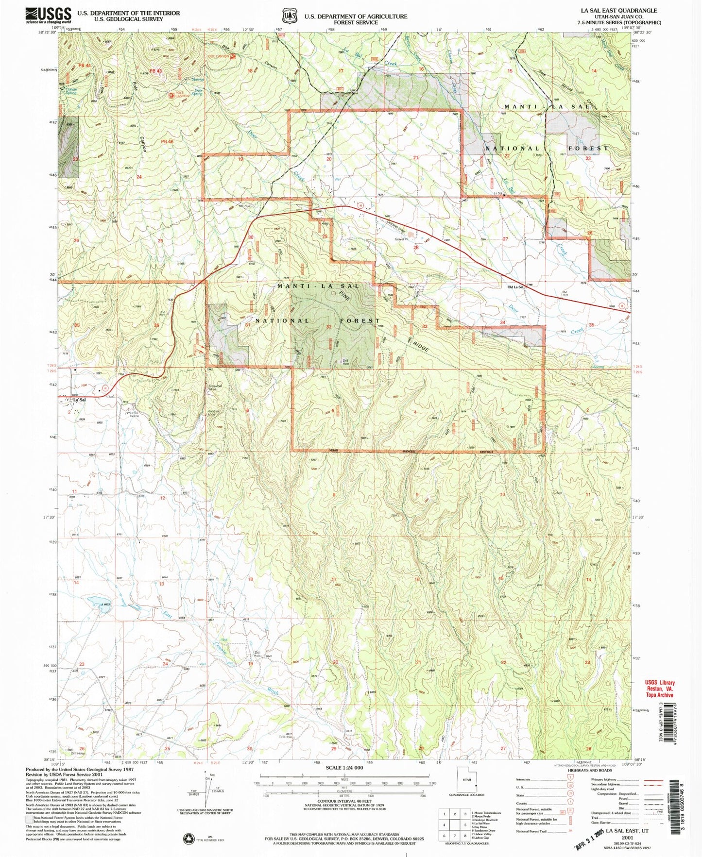
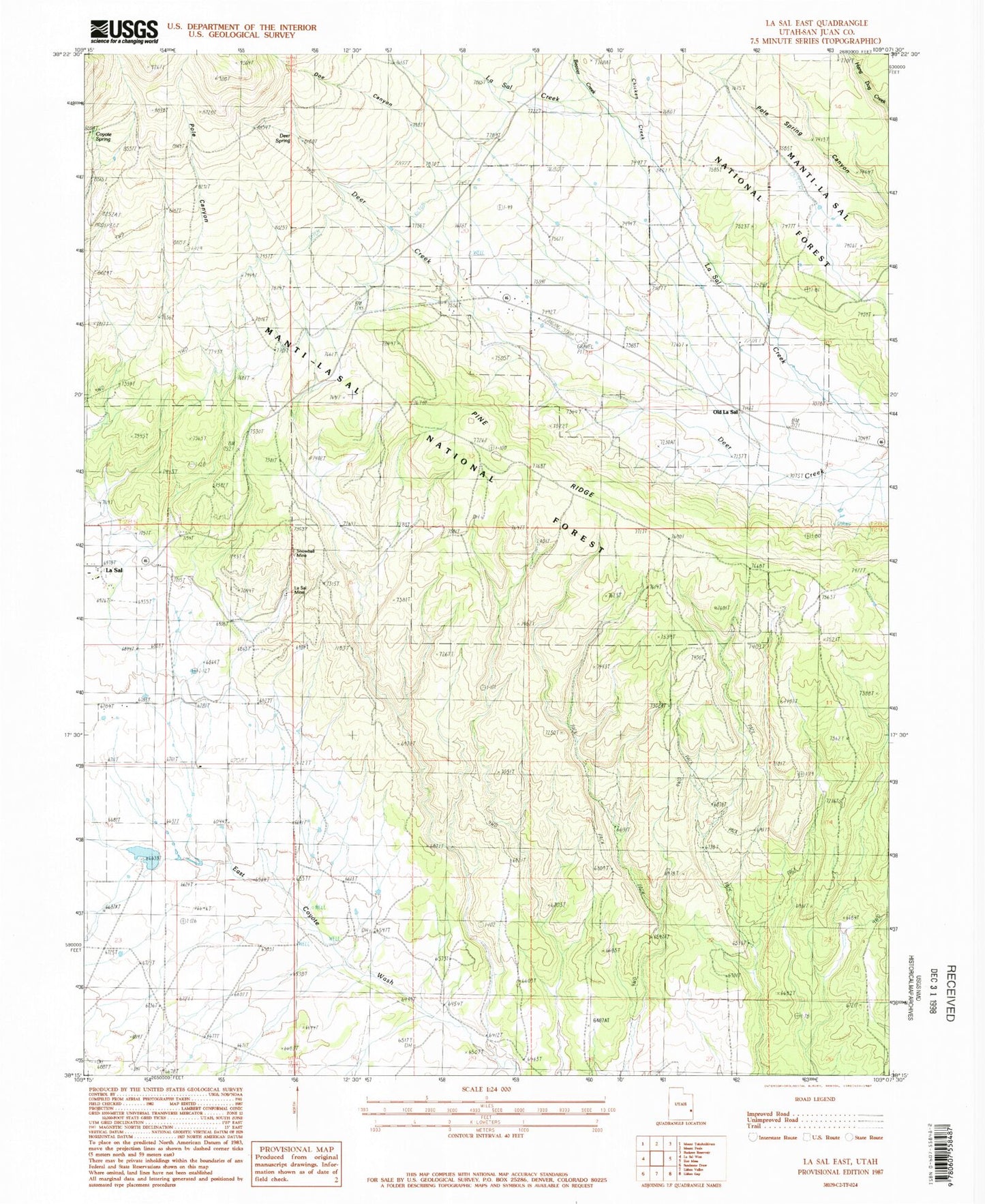
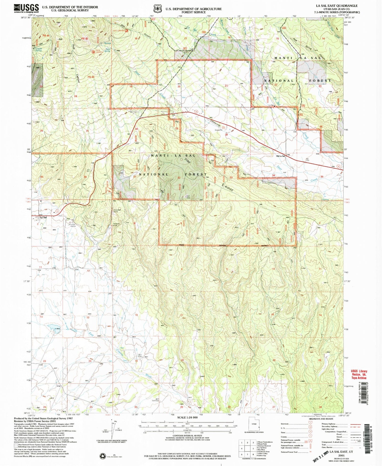
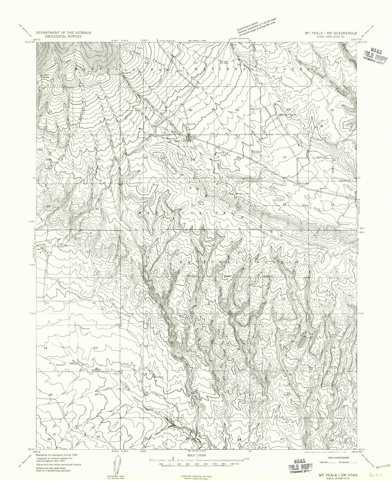
Classic USGS La Sal East Utah 7.5'x7.5' Topo Map
Couldn't load pickup availability
Historical USGS topographic quad map of La Sal East in the state of Utah. Typical map scale is 1:24,000, but may vary for certain years, if available. Print size: 24" x 27"
This quadrangle is in the following counties: San Juan.
The map contains contour lines, roads, rivers, towns, and lakes. Printed on high-quality waterproof paper with UV fade-resistant inks, and shipped rolled.
Contains the following named places: La Sal Mine, Beaver Creek, Chicken Creek, Coyote Spring, Deer Creek, Deer Spring, Doe Canyon, La Sal, La Sal Guard Station, Old La Sal, Pine Ridge, Pole Canyon, Wilcox Reservoir, Wilcox Dam, Snowball Mine, Snow Ball Mine, Pine Ridge Mine, La Sal Mine, Beaver Creek, Chicken Creek, Coyote Spring, Deer Creek, Deer Spring, Doe Canyon, La Sal, La Sal Guard Station, Old La Sal, Pine Ridge, Pole Canyon, Wilcox Reservoir, Wilcox Dam, Snowball Mine, Snow Ball Mine, Pine Ridge Mine