MyTopo
Classic USGS La Valle Wisconsin 7.5'x7.5' Topo Map
Couldn't load pickup availability
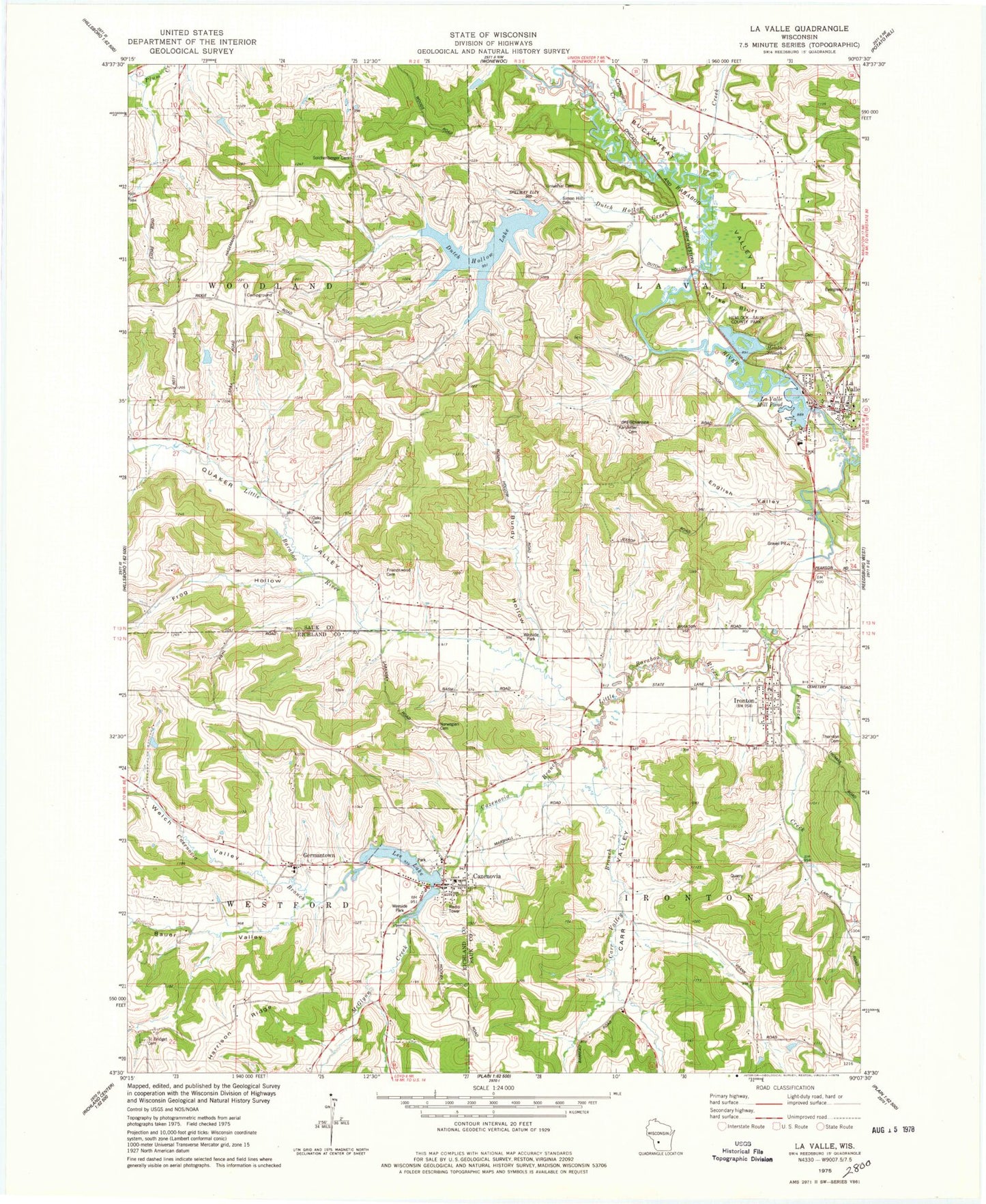
Historical USGS topographic quad map of La Valle in the state of Wisconsin. Map scale may vary for some years, but is generally around 1:24,000. Print size is approximately 24" x 27"
This quadrangle is in the following counties: Richland, Sauk.
The map contains contour lines, roads, rivers, towns, and lakes. Printed on high-quality waterproof paper with UV fade-resistant inks, and shipped rolled.
Contains the following named places: 0.3 Reservoir, 0.37 Reservoir, 53941, Baraboo Valley Stock and Dairy Farm, Bauer Valley, Bethel School, Buckwheat Valley, Bundy Hollow, Carr Valley, Carr Valley Branch, Cazenovia, Cazenovia Area Fire Department and Rescue Squad, Cazenovia Branch, Cazenovia Dam, Cazenovia Hillside Cemetery, Cazenovia Post Office, Crossman Creek, Dutch Hollow Creek, Dutch Hollow Lake, Dutch Hollow Lake 3WR745 Dam, Elm Grove Farm, English Valley, Evergreen Cemetery, Friendswood Cemetery, Frog Hollow, Furnace Creek, Germantown, Harrison Ridge, Hemlock 2WP1932 Dam, Hemlock Slough, Hemlock Slough .37, Hemlock-Sauk County Park, Horse Bluff, Ironton, Ironton - La Valle Elementary School, Karstetter Cemetery, La Valle, La Valle Dam, La Valle Fire Department, La Valle Mill Pond, La Valle Mill Pond 243, La Valle Police Department, La Valle Post Office, Lee Lake, Lee Lake 20, Little Baraboo River, Little Baraboo Valley Stock and Dairy Farm, Little Valley Dairy and Stock Farm, Litz School, Lone Pine Stock Farm, Magruder G5279 Dam, McGlynn Creek, Norwegian Cemetery, Oak Lawn Cemetery, Oaks Cemetery, Oaks School, Ox Creek, Pine Grove Farm, Plum Valley School, Quaker Valley, Saint Anthony Cemetery, Saint Anthony De Padua, Saint Anthony's Elementary School, Saint Bridget's Cemetery, School Number 4, Sensnovis G 9115 Dam, Simon Hill Cemetery, Solchenberger Cemetery, Thornton Cemetery, Town of Ironton, Town of La Valle, Universal Cemetery, Village of Cazenovia, Village of Ironton, Village of La Valle, Village View Stock Farm, Voorhes School, Welch Valley


