MyTopo
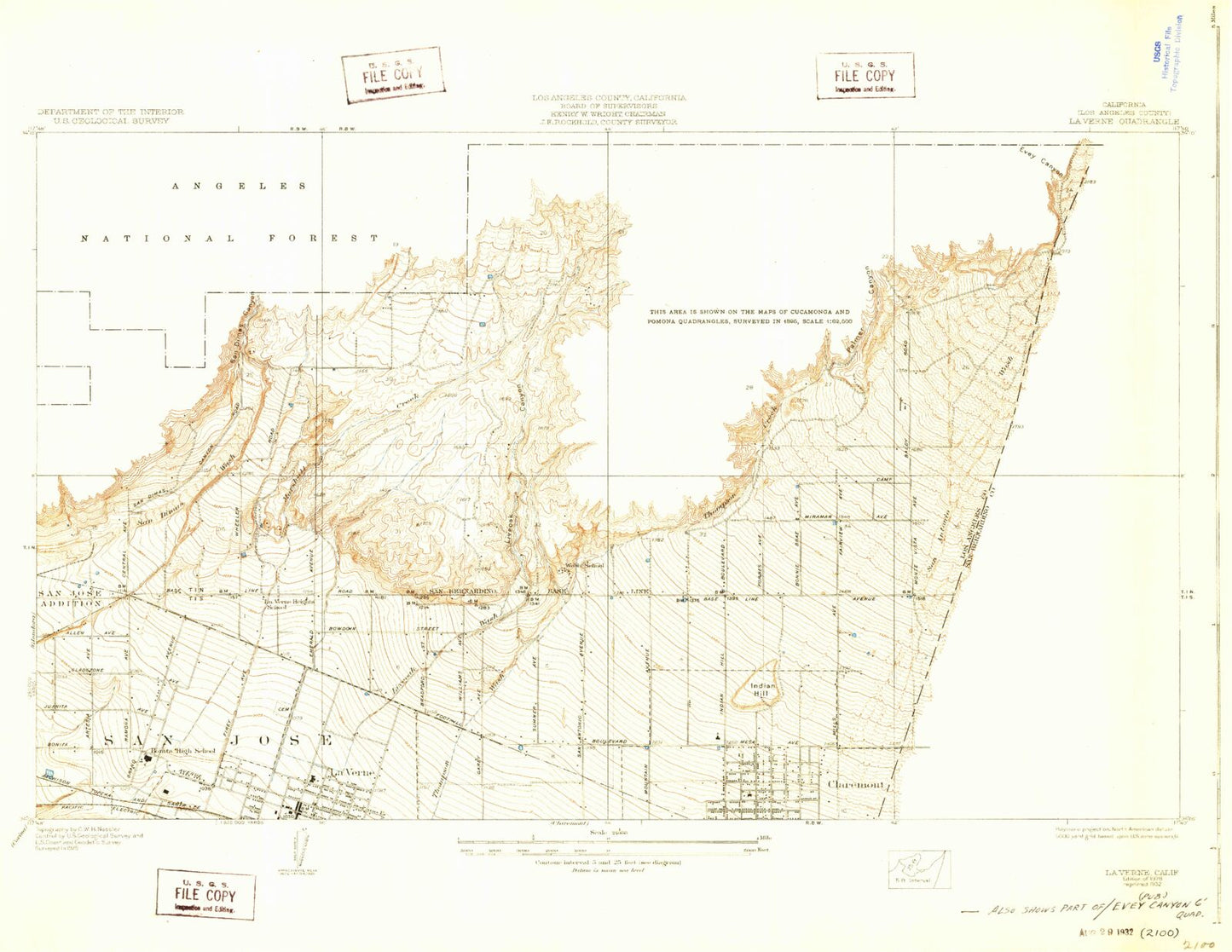
Classic USGS La Verne California 7.5'x7.5' Topo Map
Couldn't load pickup availability
Historical USGS topographic quad map of La Verne in the state of California. Typical map scale is 1:24,000, but may vary for certain years, if available. Print size: 24" x 27"
This quadrangle is in the following counties: Los Angeles, San Bernardino.
The map contains contour lines, roads, rivers, towns, and lakes. Printed on high-quality waterproof paper with UV fade-resistant inks, and shipped rolled.
Contains the following named places: Allen Avenue Elementary School, Bonita High School, Chaparral Elementary School, Claremont Graduate University, Claremont High School, Claremont McKenna College, Condit Elementary School, La Verne Cemetery, Grace Miller Elementary School, Kuns Park, La Verne Heights Elementary School, Larkin Park, Le Roy Boys Home, Lewis Park, Marchant Park, Marshall Creek, Mountain View Elementary School, Harvey Mudd College, Palmer Canyon, Pitzer College, Damien High School, Pomona College, Rancho Santa Ana Botanic Garden, Marion J Roynon Elementary School, Scripps College, Claremont School of Theology, Sumner Elementary School, Sycamore Elementary School, Bell Canyon, Browns Flat, Burbank Canyon, Cobal Canyon, East Fork San Dimas Canyon, Fern Canyon, Gail Canyon, Ham Canyon, Johnstone Peak, Live Oak Canyon, Live Oak Canyon Dam, Lodi Canyon, Marshall Canyon, Marshall Canyon Regional Park, Padua Hills Theater, Puddingstone Diversion Dam, San Dimas Canyon, San Dimas Canyon Park, San Dimas Experimental Forest, San Dimas Reservoir, San Dimas Station, Sycamore Canyon, Sycamore Flat, Tanbark Creek, Thompson Creek, Thompson Creek Dam, Volfe Canyon, Webb Canyon, Webb School, West Fork Palmer Canyon, West Fork San Dimas Canyon, Williams Canyon, Wolfskill Canyon, Wolfskill Falls, Claremont Golf Course, Flintham Memorial Forest Plantation, Indian Hill, La Verne, San Dimas 32-010 Dam, Puddingstone Diversion 32-016 Dam, Weymouth Memorial Reservoir 35-011 Dam, Live Oak Reservoir 35-013 Dam, KDOC-TV (Anaheim), KAGL-TV (San Bernardino), Calvary Baptist Church of La Verne, Calvary Baptist School, Canyon Shopping Center, Chaparral Park, Church of the Brethren, Claremont Heights Shopping Center, Emerald Park, Faith Lutheran Church of San Dimas, First Baptist Church of La Verne, Foothill and Towne Shopping Center, Garey Shopping Center, Griffith Park, Harrison Park, Heritage Park, Higginbotham Park, Holy Name of Mary Catholic Church, Holy Name of Mary School, Jaeger Park, La Puerta Sports Park, La Verne Branch County of Los Angeles Public Library, La Verne City Hall, La Verne Community Center, La Verne Heights Presbyterian Church, La Verne Post Office, La Verne Recreation Park, Las Flores Park, Lincoln Mini Park, Los Encinos Park, Love and Faith World Outreach Church, Lowell Brandt Park, Lutheran High School, Marshall Canyon Golf Course, Mills Park, Oak Mesa Elementary School, Pelota Park, Ramona Avenue Christian Center, Ramona Middle School, Saint Lukes Anglican Catholic Church, San Dimas Canyon Golf Course, San Dimas Canyon Nature Center, Sierra La Verne Golf Course, Sycamore Canyon Equestrian Center, Sycamore Canyon Park, United Methodist Church of La Verne, Vail Park, Veterans Hall, Weymouth Filtration Plant, Alpha Beta Shopping Center, College Center Shopping Center, Foothill Business Center, Griswolds Old School House Shopping Center, North Hills Square Shopping Center, Stater Brothers Shopping Center, The Old School House Shopping Center, Vanderbilt Square Shopping Center, Good Shepherd Lutheran Church, Claremont Presbyterian School, Temple Beth Israel, Los Angeles County Fire Department Station 62, Los Angeles County Fire Department Station 102, Spartan Stadium, Cahuilla Park, Memorial Park, City of Claremont, City of La Verne, Claremont Heights Center Shopping Center, Foothill and Towne Center Shopping Center, Griswolds Old House Shopping Center, La Verne Fire Department Station 61, La Verne Fire Department Station 2, La Verne Police Department


