MyTopo
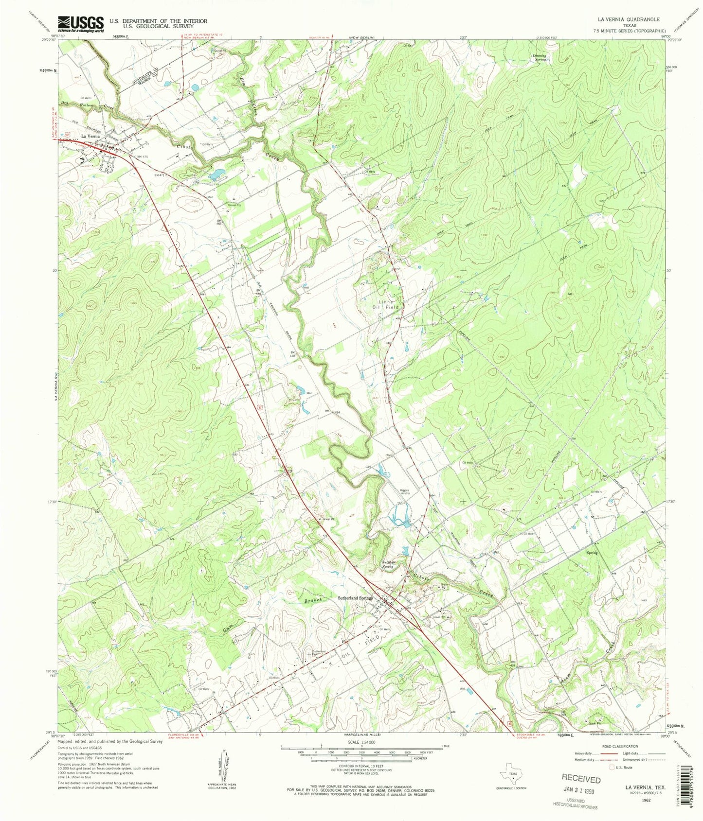
Classic USGS La Vernia Texas 7.5'x7.5' Topo Map
Couldn't load pickup availability
Historical USGS topographic quad map of La Vernia in the state of Texas. Map scale may vary for some years, but is generally around 1:24,000. Print size is approximately 24" x 27"
This quadrangle is in the following counties: Guadalupe, Wilson.
The map contains contour lines, roads, rivers, towns, and lakes. Printed on high-quality waterproof paper with UV fade-resistant inks, and shipped rolled.
Contains the following named places: Alum Creek, City of La Vernia, Dagen Lake, Dagen Lake Dam, Denning Spring, Dry Hollow Creek, Elm Creek, Gum Branch, K Oil Field, La Vernia, La Vernia Alternative School, La Vernia City Hall, La Vernia Division, La Vernia Elementary School, La Vernia High School, La Vernia Middle School, La Vernia Police Department, La Vernia Volunteer Ambulance Service, La Vernia Volunteer Fire Department, Linne Oil Field, Sulphur Spring, Sutherland Cemetery, Sutherland Springs, Sutherland Springs Post Office, Sutherland Springs Volunteer Fire Department, Whitehall Mansion, ZIP Codes: 78121, 78161