MyTopo
Classic USGS Laark Louisiana 7.5'x7.5' Topo Map
Regular price
$16.95
Regular price
Sale price
$16.95
Unit price
per
Couldn't load pickup availability
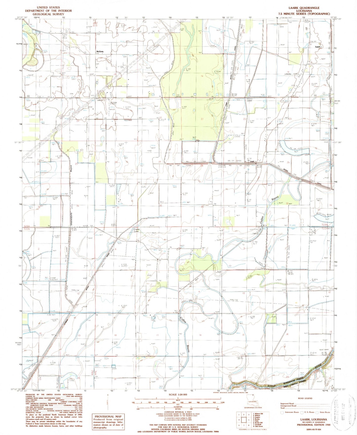
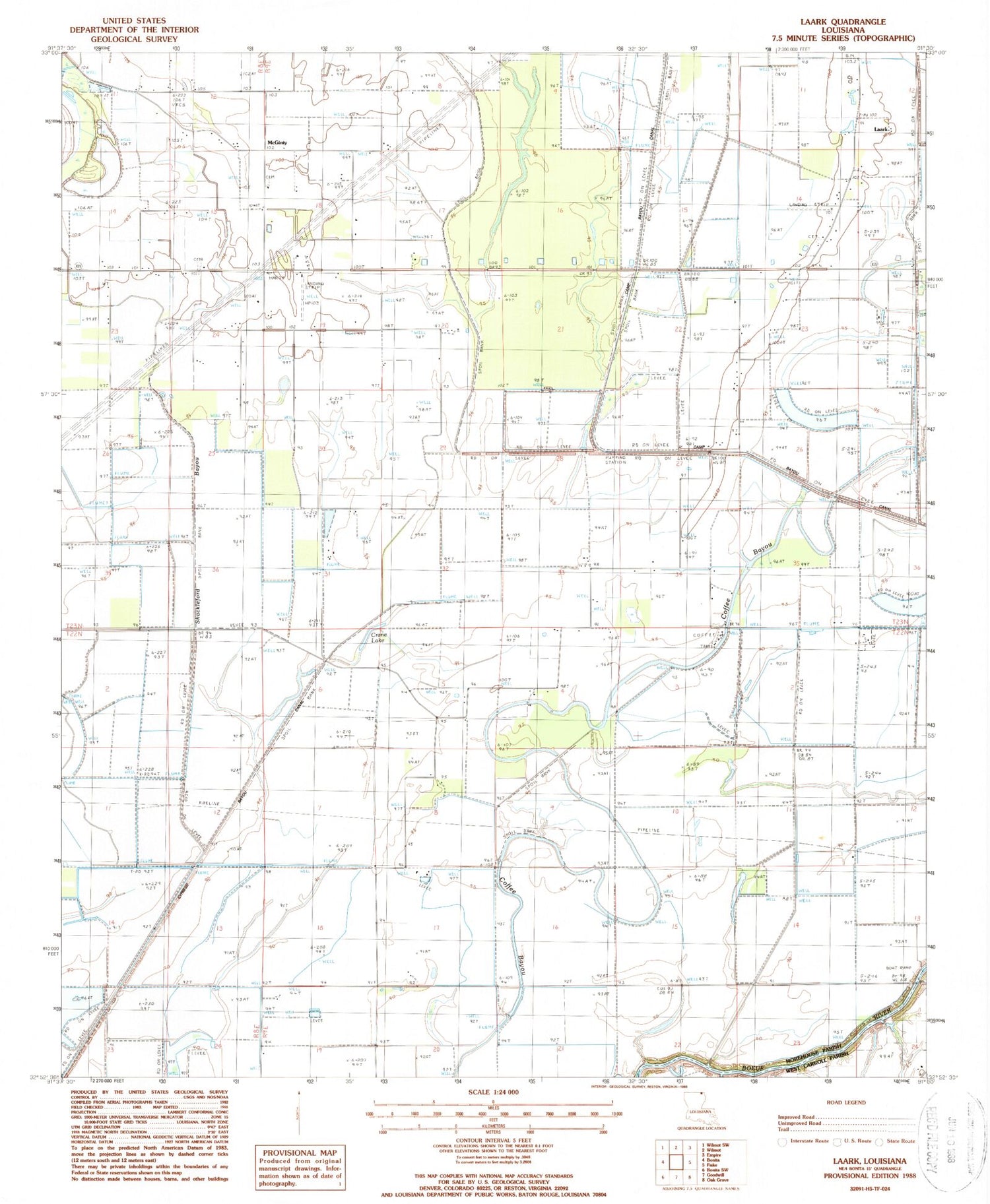
Historical USGS topographic quad map of Laark in the state of Louisiana. Map scale may vary for some years, but is generally around 1:24,000. Print size is approximately 24" x 27"
This quadrangle is in the following counties: Morehouse, West Carroll.
The map contains contour lines, roads, rivers, towns, and lakes. Printed on high-quality waterproof paper with UV fade-resistant inks, and shipped rolled.
Contains the following named places: Black Pond Slough, Crane Lake, Cypress Bayou, Dam 72, Holly Ridge Church, Laark, Little Zion Church, McGinty School, Mount Zion Church Number 5, New Hope Church, Shackleford Bayou, ZIP Code: 71250