MyTopo
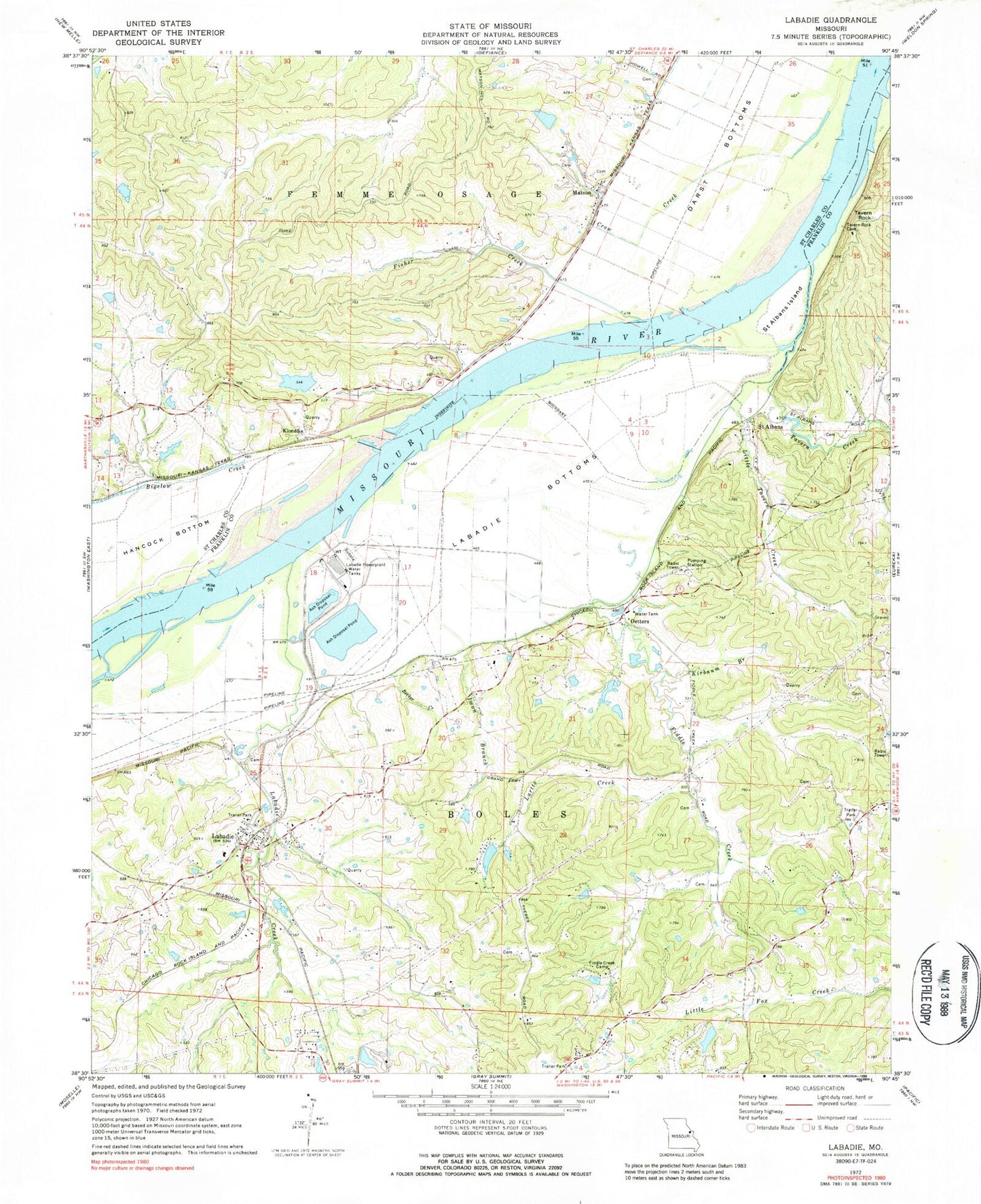
Classic USGS Labadie Missouri 7.5'x7.5' Topo Map
Couldn't load pickup availability
Historical USGS topographic quad map of Labadie in the state of Missouri. Typical map scale is 1:24,000, but may vary for certain years, if available. Print size: 24" x 27"
This quadrangle is in the following counties: Franklin, St. Charles.
The map contains contour lines, roads, rivers, towns, and lakes. Printed on high-quality waterproof paper with UV fade-resistant inks, and shipped rolled.
Contains the following named places: Fiddle Creek, Fiddle Creek Camp, Iman Branch, Kirbaum Branch, Labadie Creek, Lartto Creek, Oetters, Tavern Rock, Becker Creek, Labaddie School, Labadie, Saint Albans, Pillman (historical), Becker School, Tavern School (historical), Oakfield School, Purina Mills Farm, Labadie Powerplant Water Tanks, Bigelow Creek, Crow Creek, Darst Bottoms, Fisher Creek, Klondike, Labadie Bottoms, Matson, Saint Albans Island, Tavern Creek, Tavern Rock Quarry, Happy Glen School (historical), Hickory Hill School (historical), Klondike Lake Dam, Klondike Lake, Koenig Dam, Katy Reservoir, Inman Lake Dam, Inman Lake, Las Brisas Lake Dam, Las Brisas Lake, Number 488 Dam, Ash Pond Dike North, Labadie Power Plant Reservoir, Ash Pond Dike, Ash Disposal Pond, Zinsmeyer Lake Dam, Hermit Hollow Lake Dam, Hermit Hollow Lake, Little Lake in the Woods Dam, Little Lake in the Woods, Sherrel Lake Dam, Becker Lake Dam, Hughes Lake Dam, Hughes Lake, Purina Lake Dam, Meyer Lake Dam, Little Tavern Creek, Township of Boles, Augusta Wastewater Treatment Plant, Boles Fire Protection District Station 2, Boles Fire Protection District Station 4, Saint Albans Post Office, Labadie Post Office


