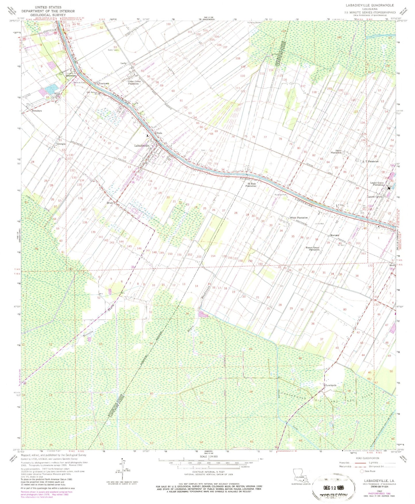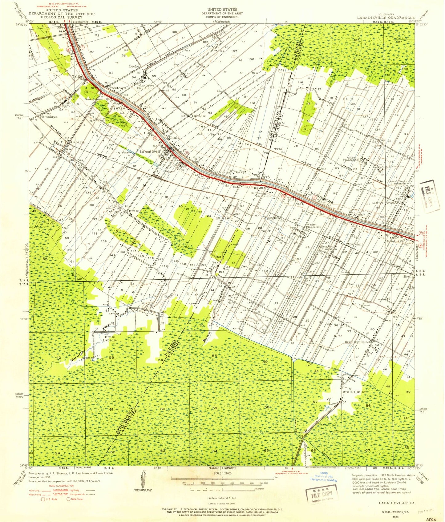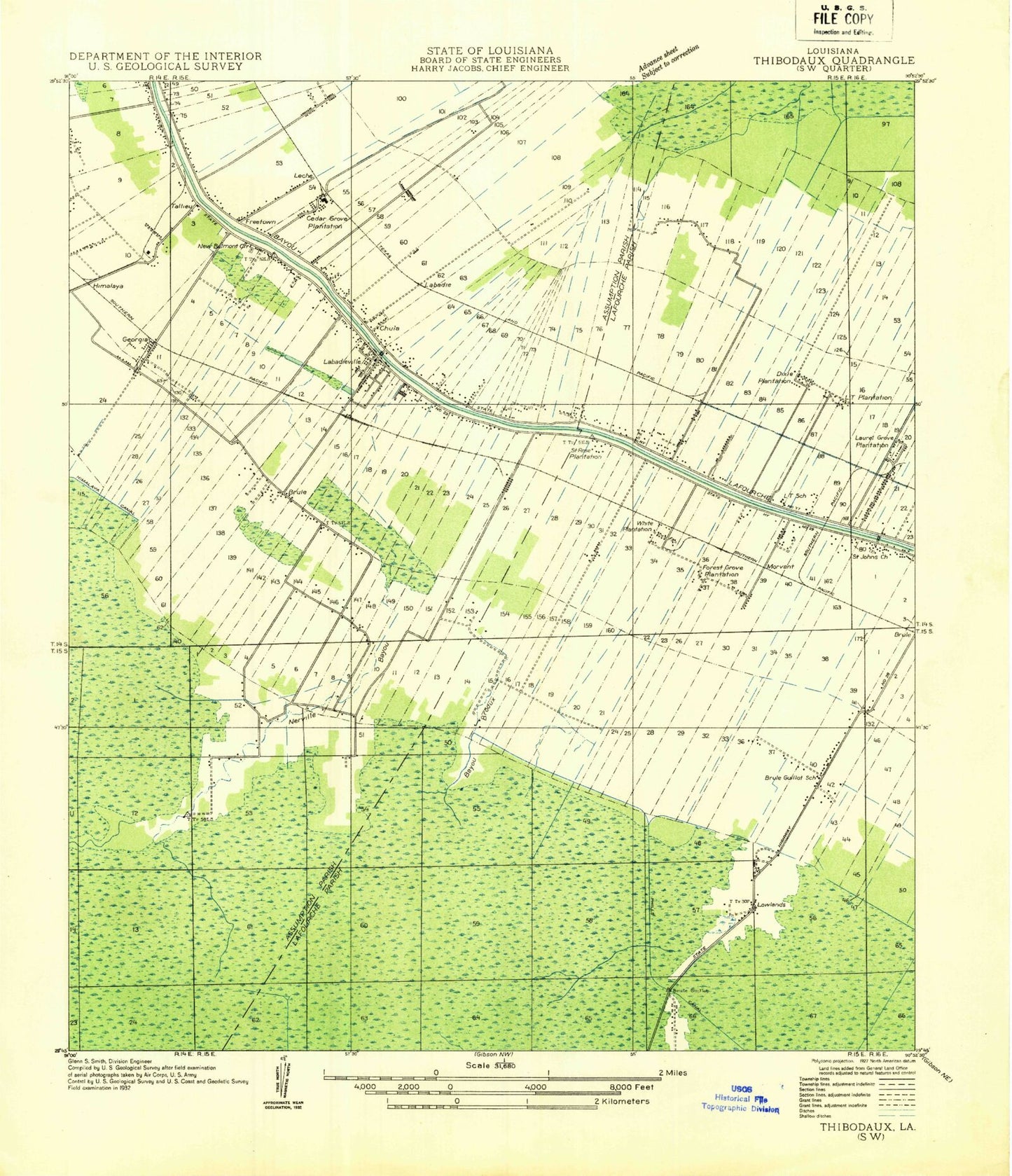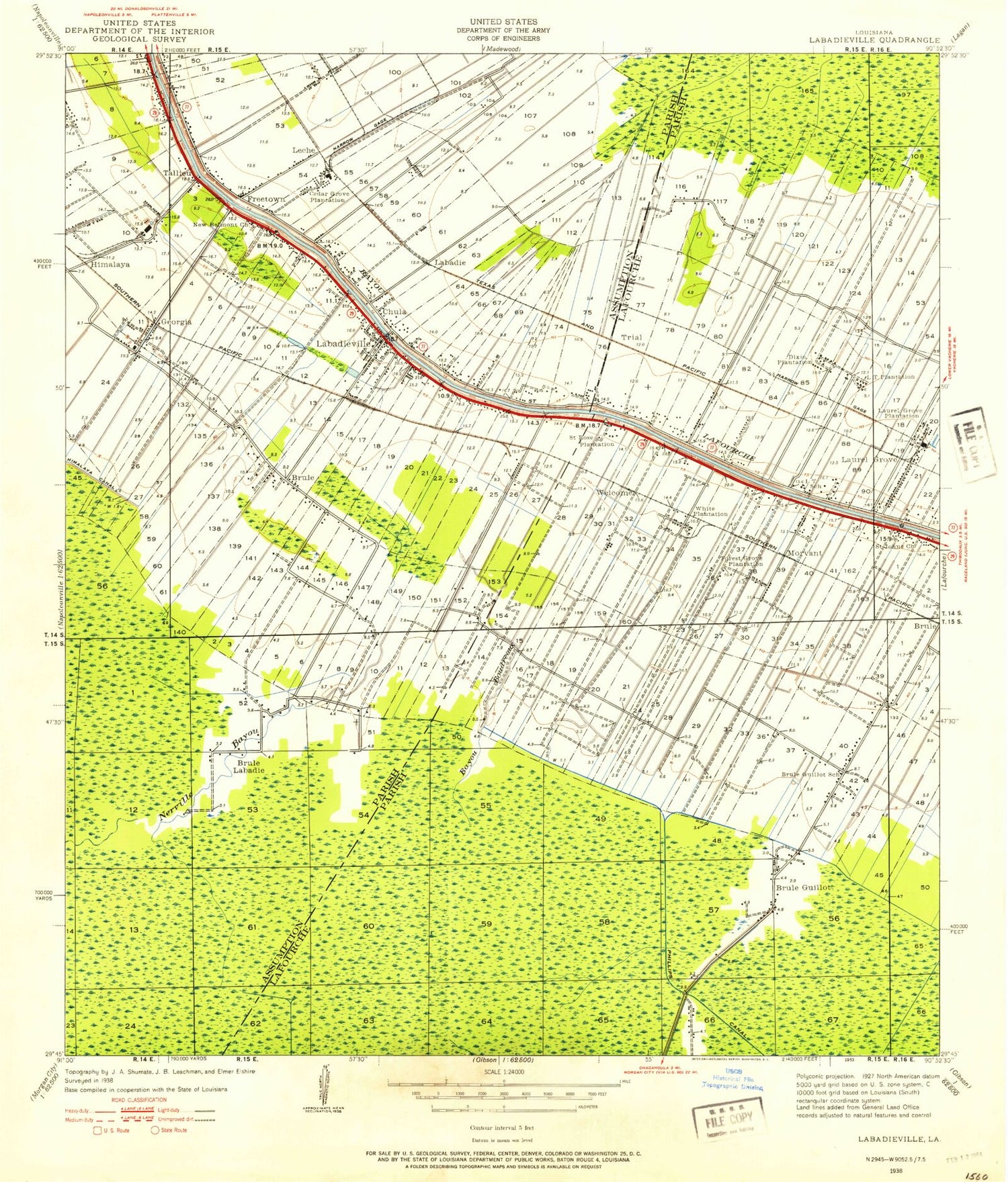

MyTopo
Classic USGS Labadieville Louisiana 7.5'x7.5' Topo Map
Couldn't load pickup availability
Historical USGS topographic quad map of Labadieville in the state of Louisiana. Map scale may vary for some years, but is generally around 1:24,000. Print size is approximately 24" x 27"
This quadrangle is in the following counties: Assumption, Lafourche.
The map contains contour lines, roads, rivers, towns, and lakes. Printed on high-quality waterproof paper with UV fade-resistant inks, and shipped rolled.
Contains the following named places: Assumption Parish Library Labadieville Branch, Bayou Boudreaux, Brule, Cedar Grove Plantation, Chula, Dixie Plantation, Forest Grove Plantation, Freetown, Georgia, Himalaya, KTIB-AM (Thibodaux), L T Plantation, Labadieville, Labadieville Census Designated Place, Labadieville Head Start School, Labadieville Middle School, Labadieville Post Office, Labadieville Primary School, Labadieville Volunteer Fire Department, Laurel Grove, Laurel Grove Gas Field, Laurel Grove Plantation, Leche, Lowlands, Morvant, Nerville Bayou, New Belmont Baptist Church, New Belmont School, New Morning Star Baptist Church, New Mount Carmel Baptist Church, North Laurel Grove Gas Field, Opportunity Place Adult Education Center North Campus, Phillips Canal, Saint John Gas Field, Saint John Volunteer Fire Department, Saint John's Church, Saint Mark Baptist Church, Saint Paul Baptist Church, Saint Phillip Baptist Church, Saint Philomena Catholic Church, Saint Philomena Cemetery, Saint Philomena Elementary School, Saint Rose Plantation, Supreme, Supreme Census Designated Place, Supreme Post Office, Supreme Sugar Pond, Supreme Sugar Pond Dam, White Plantation, ZIP Code: 70372