MyTopo
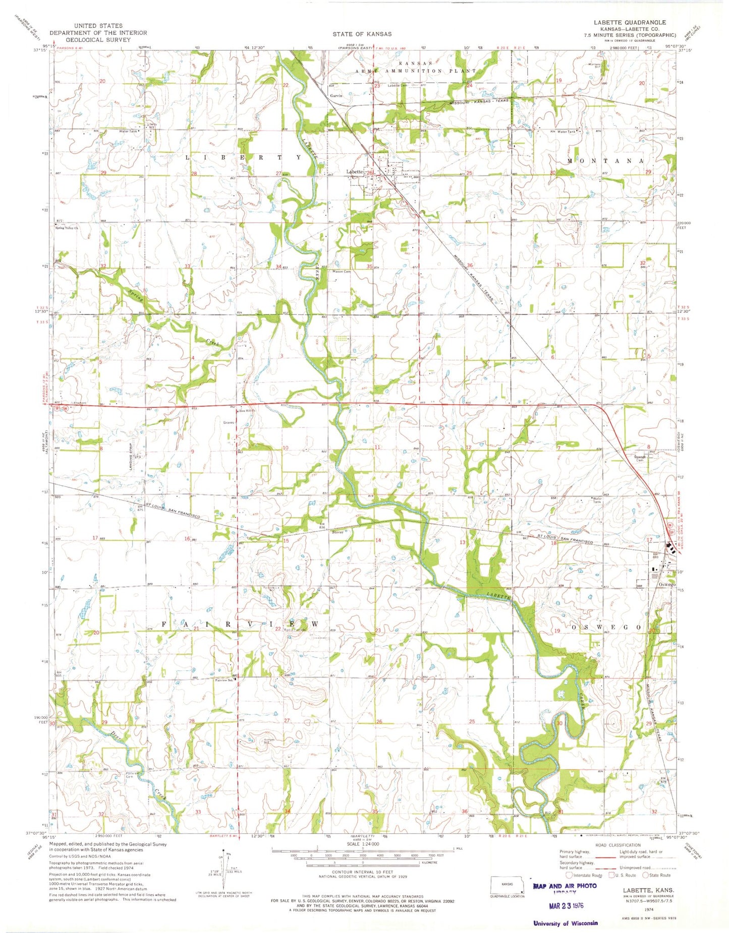
Classic USGS Labette Kansas 7.5'x7.5' Topo Map
Couldn't load pickup availability
Historical USGS topographic quad map of Labette in the state of Kansas. Map scale may vary for some years, but is generally around 1:24,000. Print size is approximately 24" x 27"
This quadrangle is in the following counties: Labette.
The map contains contour lines, roads, rivers, towns, and lakes. Printed on high-quality waterproof paper with UV fade-resistant inks, and shipped rolled.
Contains the following named places: Bartlett Co - Operative Association Grain Elevator Number 5, Bowman School, Campbell School, Catalpa School, City of Labette, Dickerman School, Eclipse School, El Dorado Correctional Facility Southwest Mens Medium Oswego, Fairview Cemetery, Fairview Elementary School, Garvin, Labette, Labette Baptist Church, Labette Cemetery, Labette Correctional Conservation Camp - Womens, Maple Grove School, Mason Cemetery, Oak Grove School, Oswego Cemetery, Oswego Wastewater Plant, Rosedale School, Shiloh School, Spring Creek, Spring Valley Cemetery, Spring Valley Church, Stover, Stover School, Township of Fairview, Zion Hill Church, ZIP Code: 67356