MyTopo
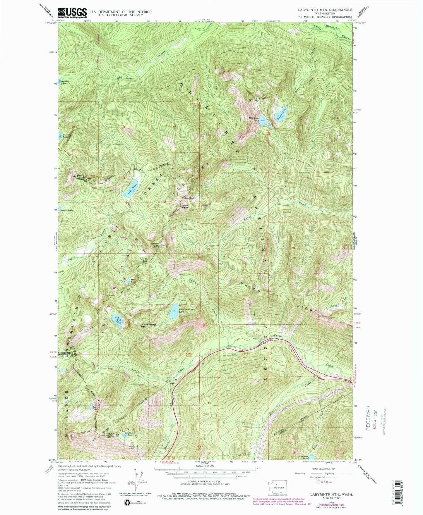
Classic USGS Labyrinth Mountain Washington 7.5'x7.5' Topo Map
Couldn't load pickup availability
Historical USGS topographic quad map of Labyrinth Mountain in the state of Washington. Typical map scale is 1:24,000, but may vary for certain years, if available. Print size: 24" x 27"
This quadrangle is in the following counties: Chelan, King, Snohomish.
The map contains contour lines, roads, rivers, towns, and lakes. Printed on high-quality waterproof paper with UV fade-resistant inks, and shipped rolled.
Contains the following named places: Devils Club Creek, Dow Lake, Elevenmile Creek, Lake Janus, Jove Lake, Jove Peak, Labyrinth Mountain, Lanham Creek, Lanham Lake, Lichtenberg Mountain, Lichtenwasser Lake, Lodgepole Creek, Mill Creek, Minotaur Lake, Skyline Lake, Smith Brook, Stevens Creek, Tye Lake, Theseus Creek, Theseus Lake, Union Gap, Union Peak, Lake Valhalla, Mount McCausland, Old Cascade Tunnel, Totem Girl Scout Org Camp, Theseus Creek Campground


