MyTopo
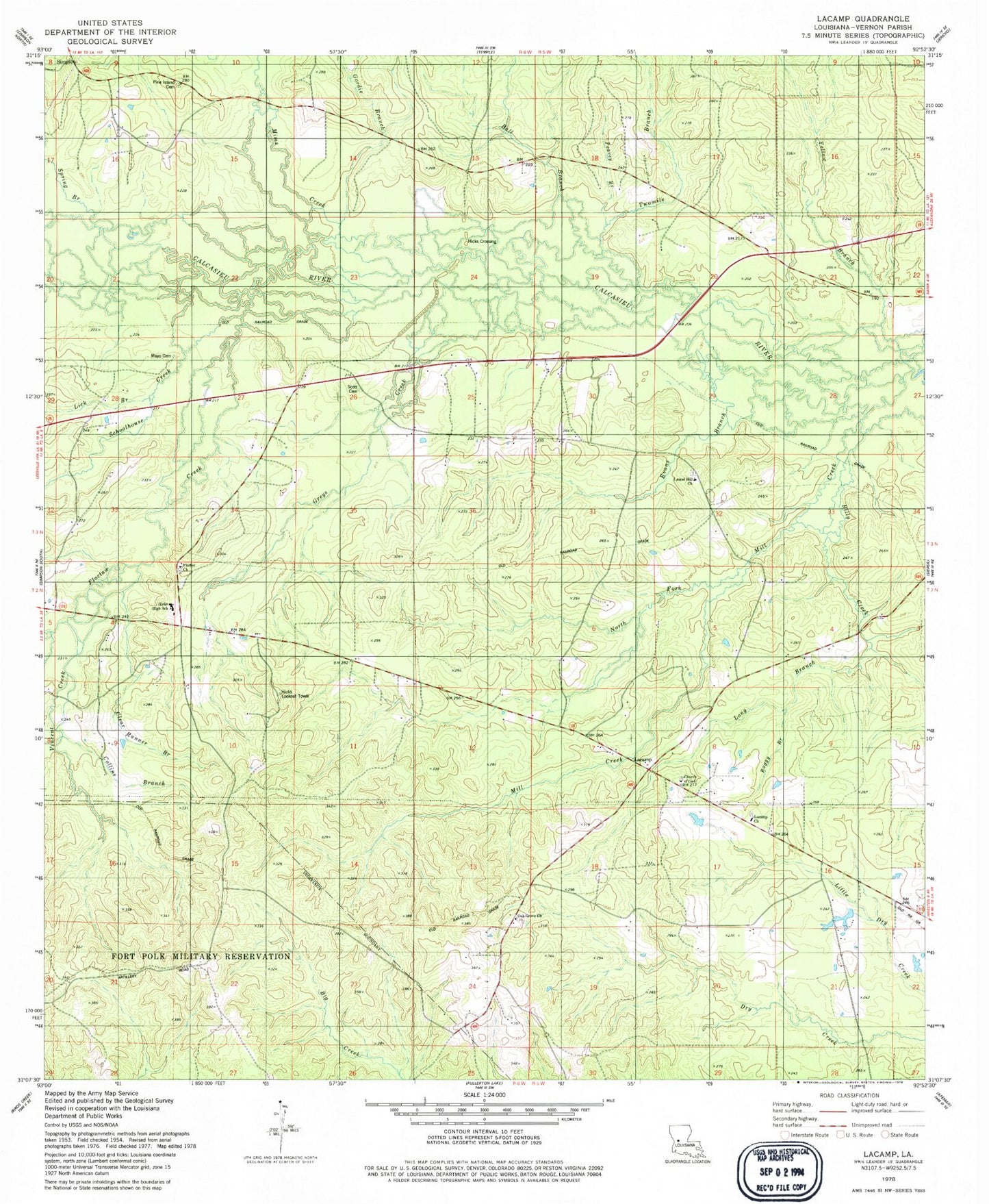
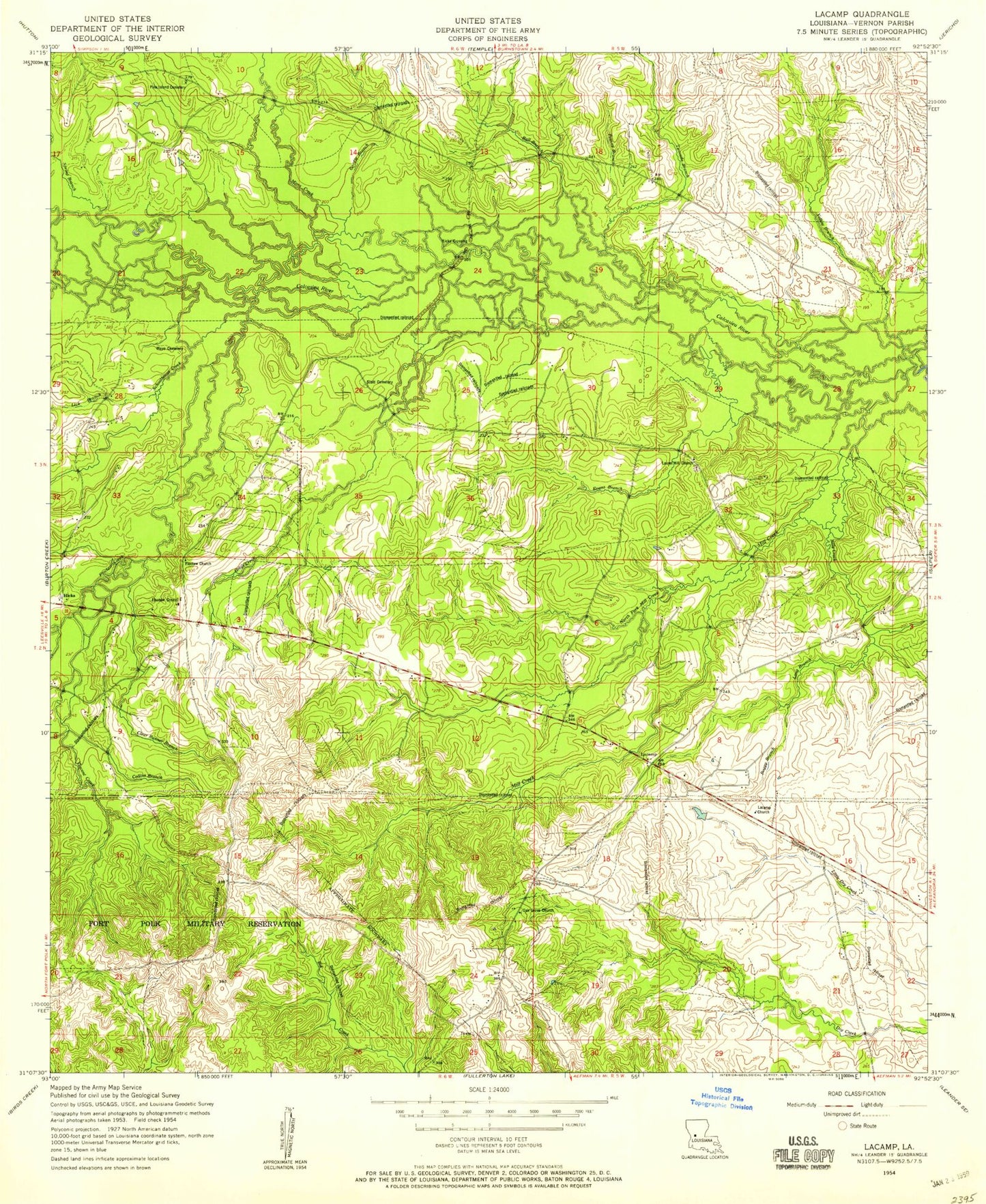
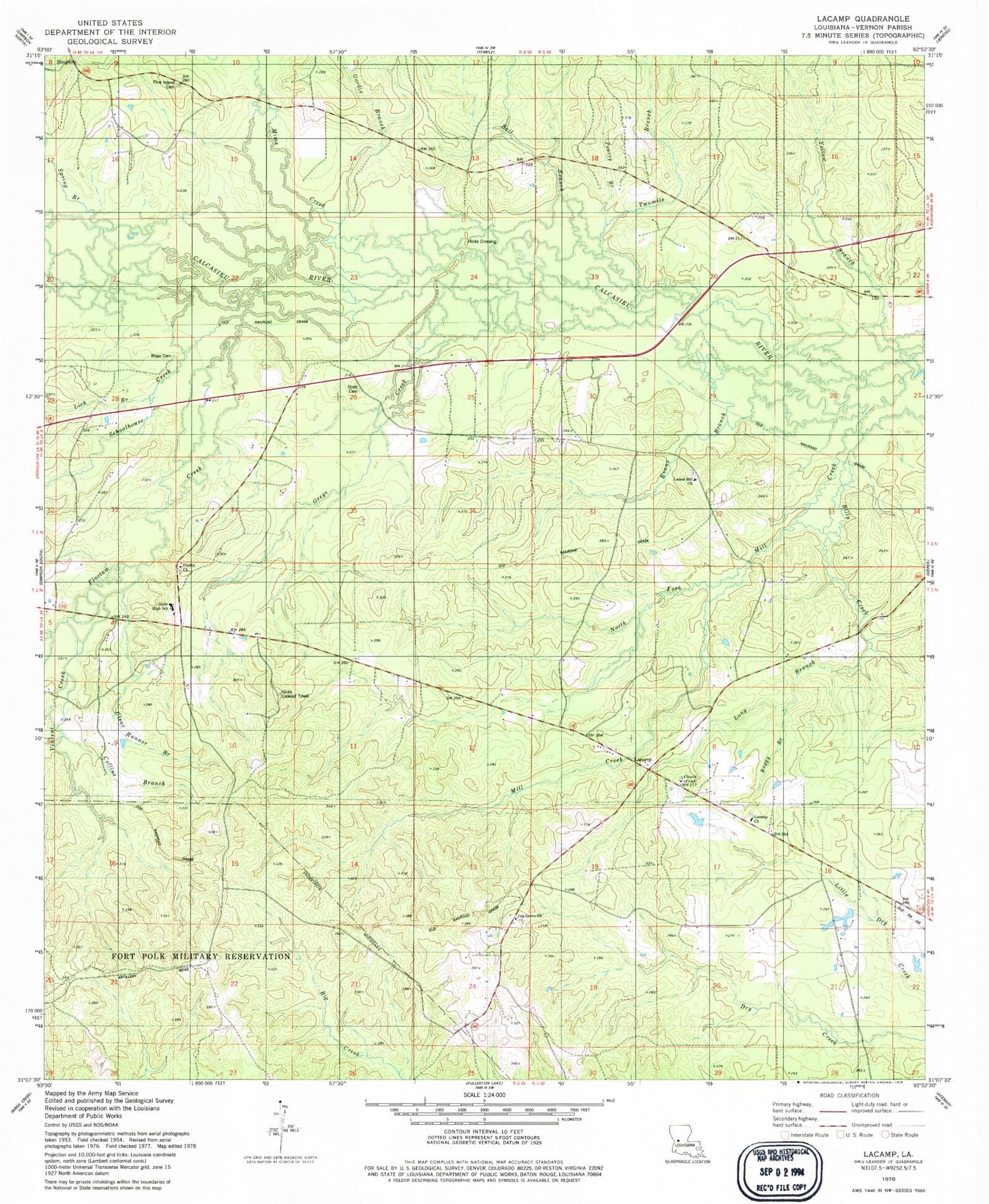
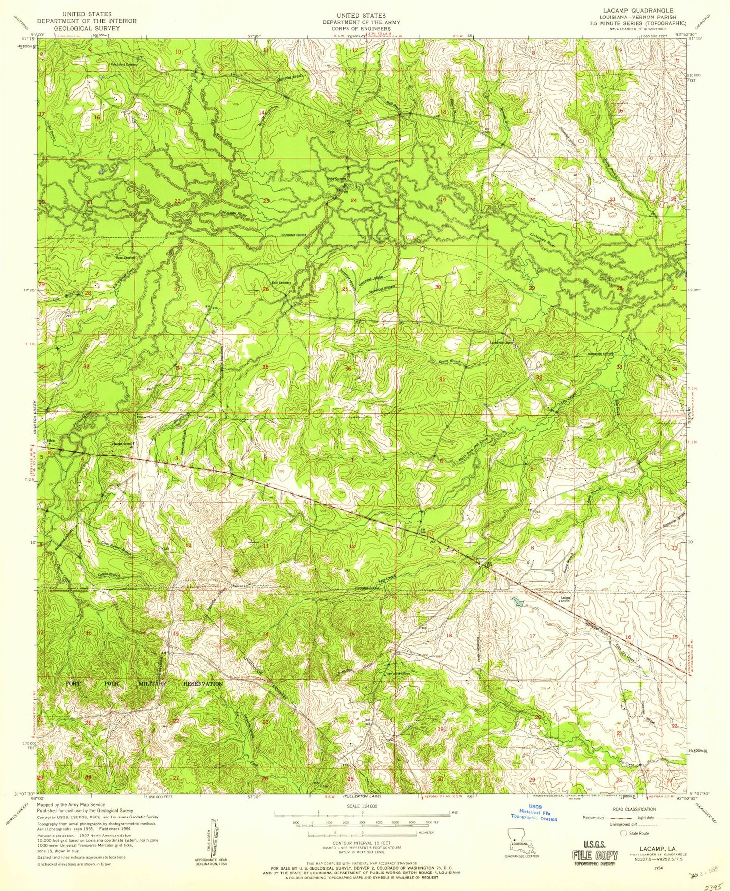
Classic USGS Lacamp Louisiana 7.5'x7.5' Topo Map
Couldn't load pickup availability
Historical USGS topographic quad map of Lacamp in the state of Louisiana. Map scale may vary for some years, but is generally around 1:24,000. Print size is approximately 24" x 27"
This quadrangle is in the following counties: Vernon.
The map contains contour lines, roads, rivers, towns, and lakes. Printed on high-quality waterproof paper with UV fade-resistant inks, and shipped rolled.
Contains the following named places: Ball Branch, Billy Creek, Boggy Branch, Clear Runner Branch, Collins Branch, Evans Branch, Flactor Baptist Church, Floctaw Creek, Gordie Branch, Greys Creek, Hicks Crossing, Hicks High School, Hicks Lookout Tower, Lacamp, Lacamp Church, Lacamp Church of God, Lacamp Post Office, Lacamp Volunteer Fire Department Station 15, Laurel Hill Baptist Church, Laurel Hill Cemetery, Lick Branch, Long Branch, Mayo Cemetery, Mill Creek, Mims Creek, North Fork Mill Creek, Oak Grove Cemetery, Oak Grove Church, Peavey Branch, Pine Island Cemetery, Schoolhouse Creek, Scott Cemetery, Spring Branch, Twomile Branch, Vincent Creek, Ward Eight, Yellow Branch


