MyTopo
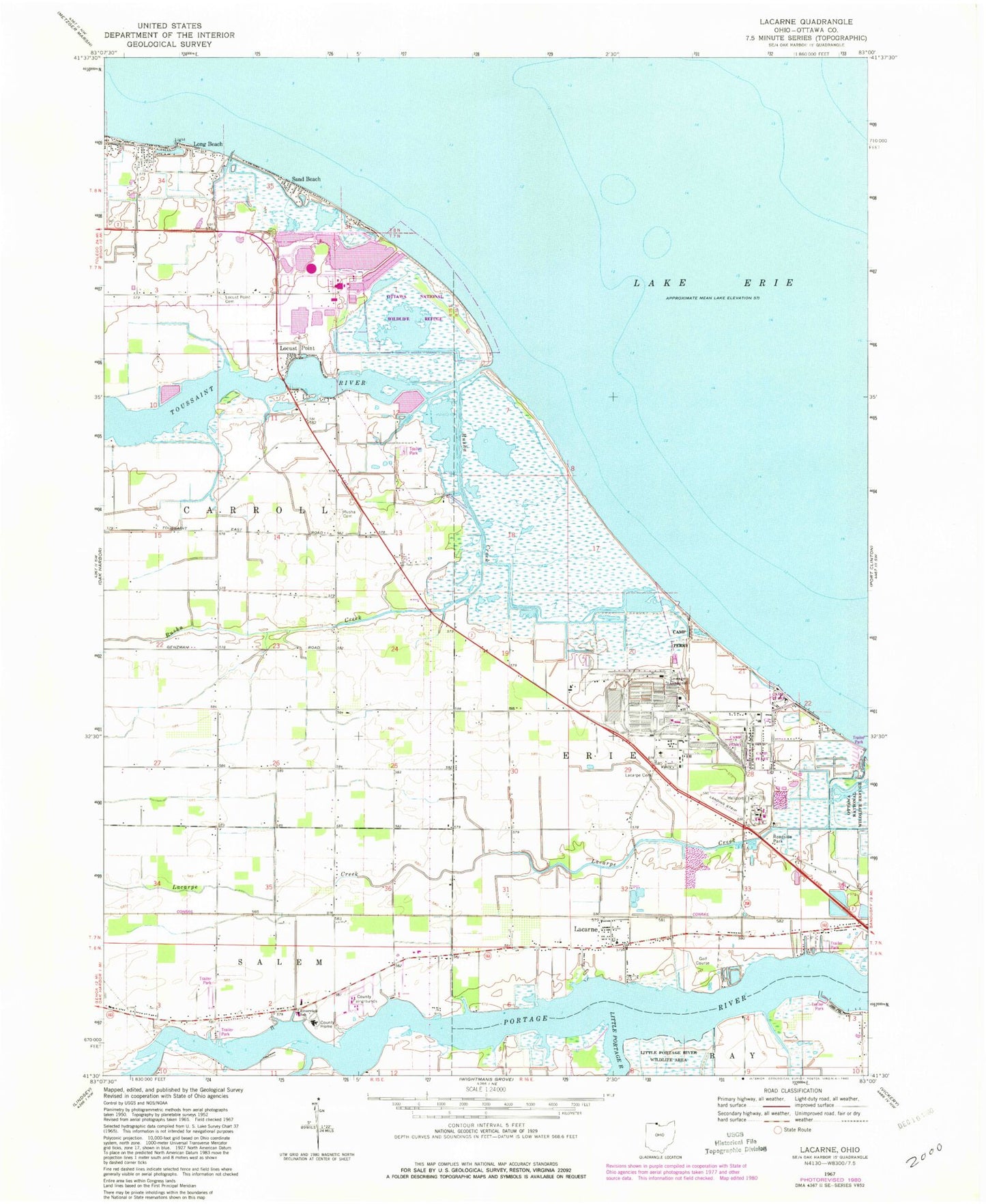
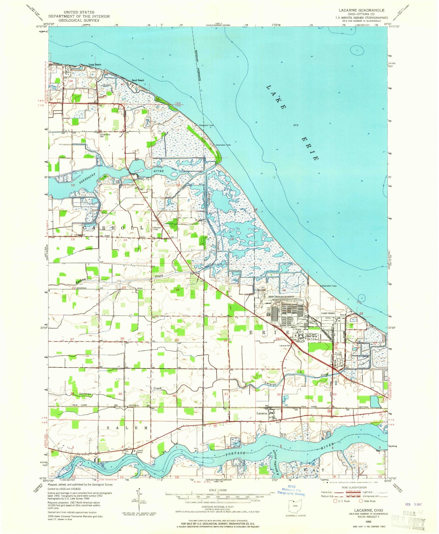
Classic USGS Lacarne Ohio 7.5'x7.5' Topo Map
Couldn't load pickup availability
Historical USGS topographic quad map of Lacarne in the state of Ohio. Map scale may vary for some years, but is generally around 1:24,000. Print size is approximately 24" x 27"
This quadrangle is in the following counties: Ottawa.
The map contains contour lines, roads, rivers, towns, and lakes. Printed on high-quality waterproof paper with UV fade-resistant inks, and shipped rolled.
Contains the following named places: Camp Peary, Camp Perry Air National Guard Station, Davis-Besse Heliport, Davis-Besse Nuclear Power Plant, Erie Ordnance Depot, Erie Township Volunteer Fire Department, Green Bayou, Lacarne, Lacarne Post Office, Lacarpe Cemetery, Lacarpe Creek, Little Portage River, Locust Point, Locust Point Cemetery, Long Beach, Navarre Marsh, Ottawa County, Ottawa County Fairgrounds, Ottawa County Home, Ottawa County Nursing Home, Port Clinton Golf Course, Port Clinton Landfill, Riverview School, Rusha Cemetery, Rusha Creek, Sand Beach, Sand Beach Marsh, Toussaint Marsh, Toussaint River, Township of Carroll, Witts Orchards, ZIP Code: 43439