MyTopo
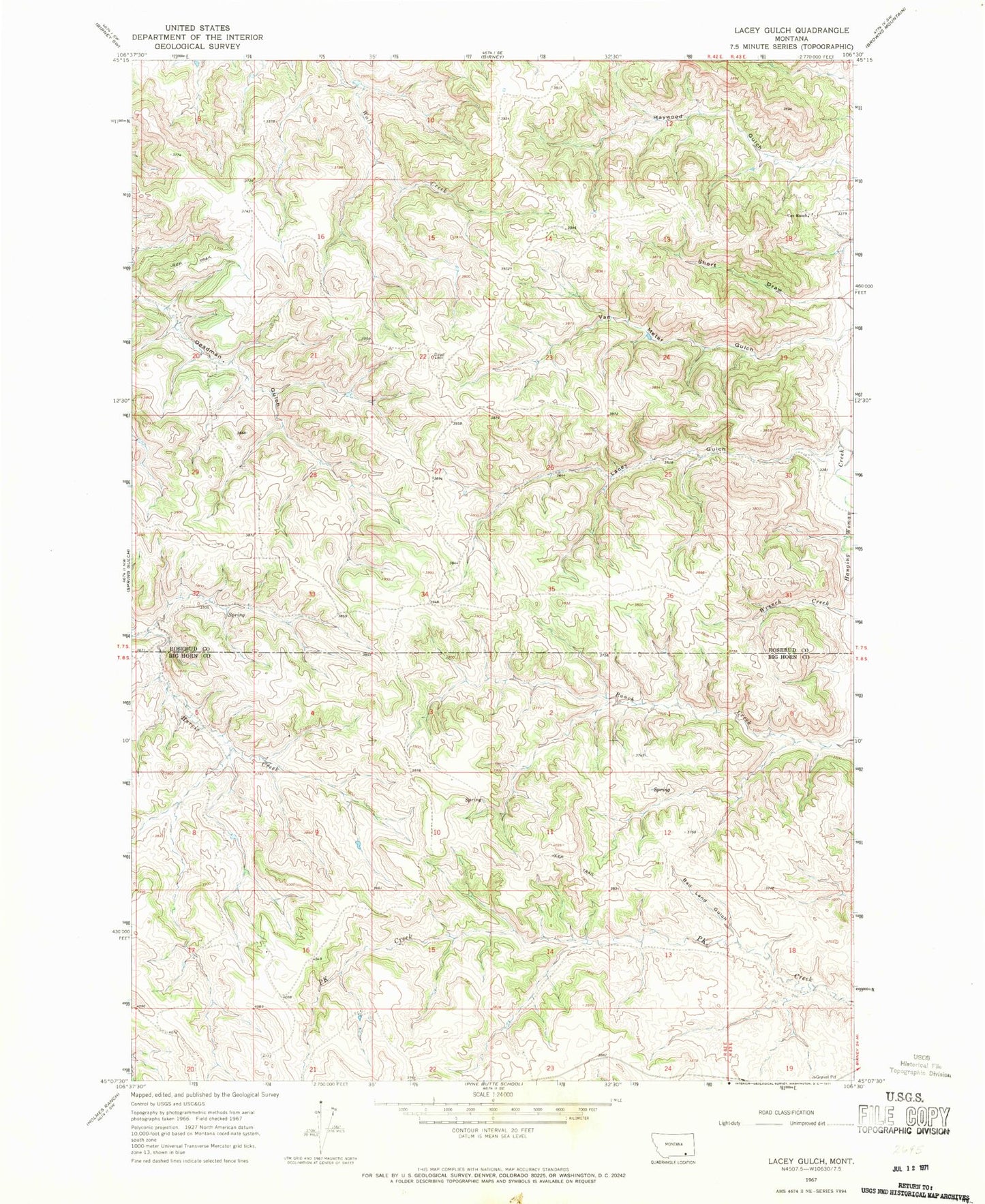
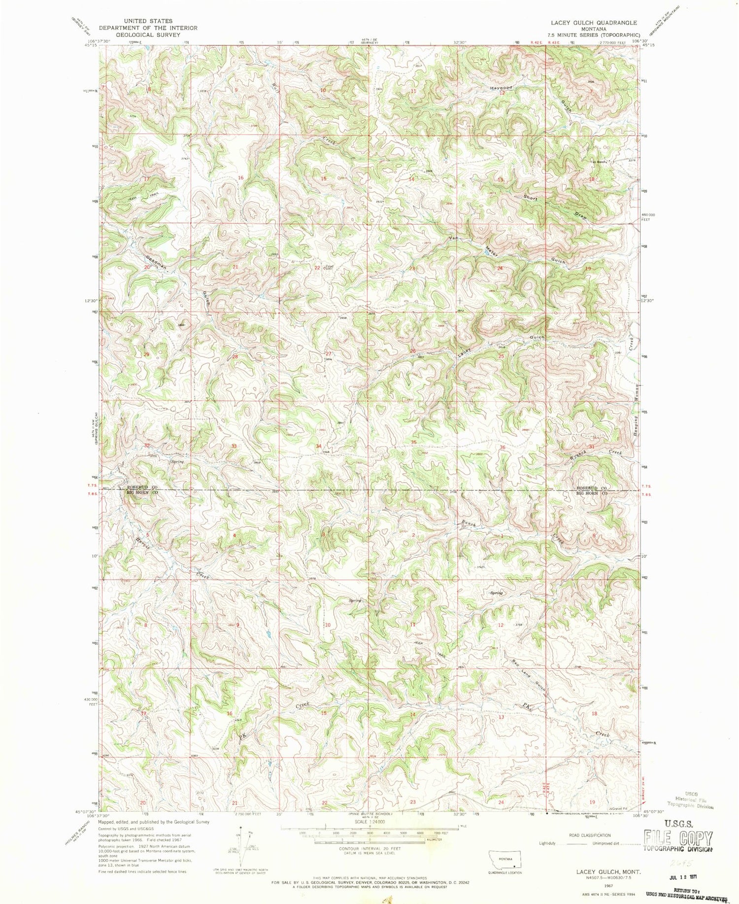
Classic USGS Lacey Gulch Montana 7.5'x7.5' Topo Map
Couldn't load pickup availability
Historical USGS topographic quad map of Lacey Gulch in the state of Montana. Map scale may vary for some years, but is generally around 1:24,000. Print size is approximately 24" x 27"
This quadrangle is in the following counties: Big Horn, Rosebud.
The map contains contour lines, roads, rivers, towns, and lakes. Printed on high-quality waterproof paper with UV fade-resistant inks, and shipped rolled.
Contains the following named places: 07S42E20CAAA01 Well, 08S42E02ADDD01 Well, 08S42E09AACC01 Well, 08S42E10AADC01 Spring, 08S42E14ADCB01 Well, 08S42E14DBAD01 Well, 08S42E14DBAD02 Well, 08S42E15CBBA01 Well, 08S42E16DDDC01 Spring, 08S42E21AAAB01 Well, 08S42E22CAAC01 Well, 08S42E23BDBC01 Well, 08S43E07ADAA01 Well, Bad Land Gulch, Cox Ranch, Lacey Gulch, Short Draw, Van Meter Gulch