MyTopo
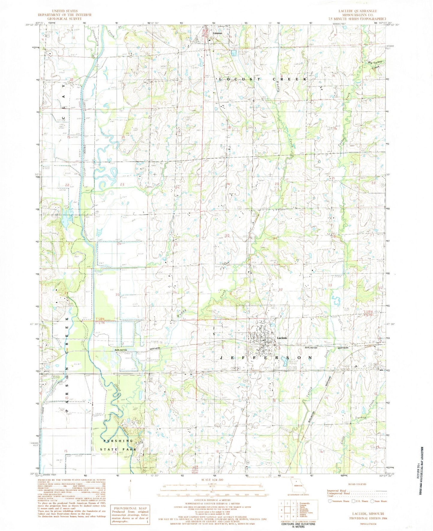
Classic USGS Laclede Missouri 7.5'x7.5' Topo Map
Couldn't load pickup availability
Historical USGS topographic quad map of Laclede in the state of Missouri. Map scale may vary for some years, but is generally around 1:24,000. Print size is approximately 24" x 27"
This quadrangle is in the following counties: Linn.
The map contains contour lines, roads, rivers, towns, and lakes. Printed on high-quality waterproof paper with UV fade-resistant inks, and shipped rolled.
Contains the following named places: Big Turkey Creek, City of Laclede, General John J. Pershing Boyhood Home, Higgins Ditch, Kemper Branch, Laclede, Laclede Community Fire Protection District, Laclede Post Office, Locust Creek School, Moore School, Muddy Creek, Needles, Oak Arbor School, Pershing State Park, Plum Grove School, Slater School, Strawberry Branch, Sunny Point School, Township of Jefferson, ZIP Code: 64651