MyTopo
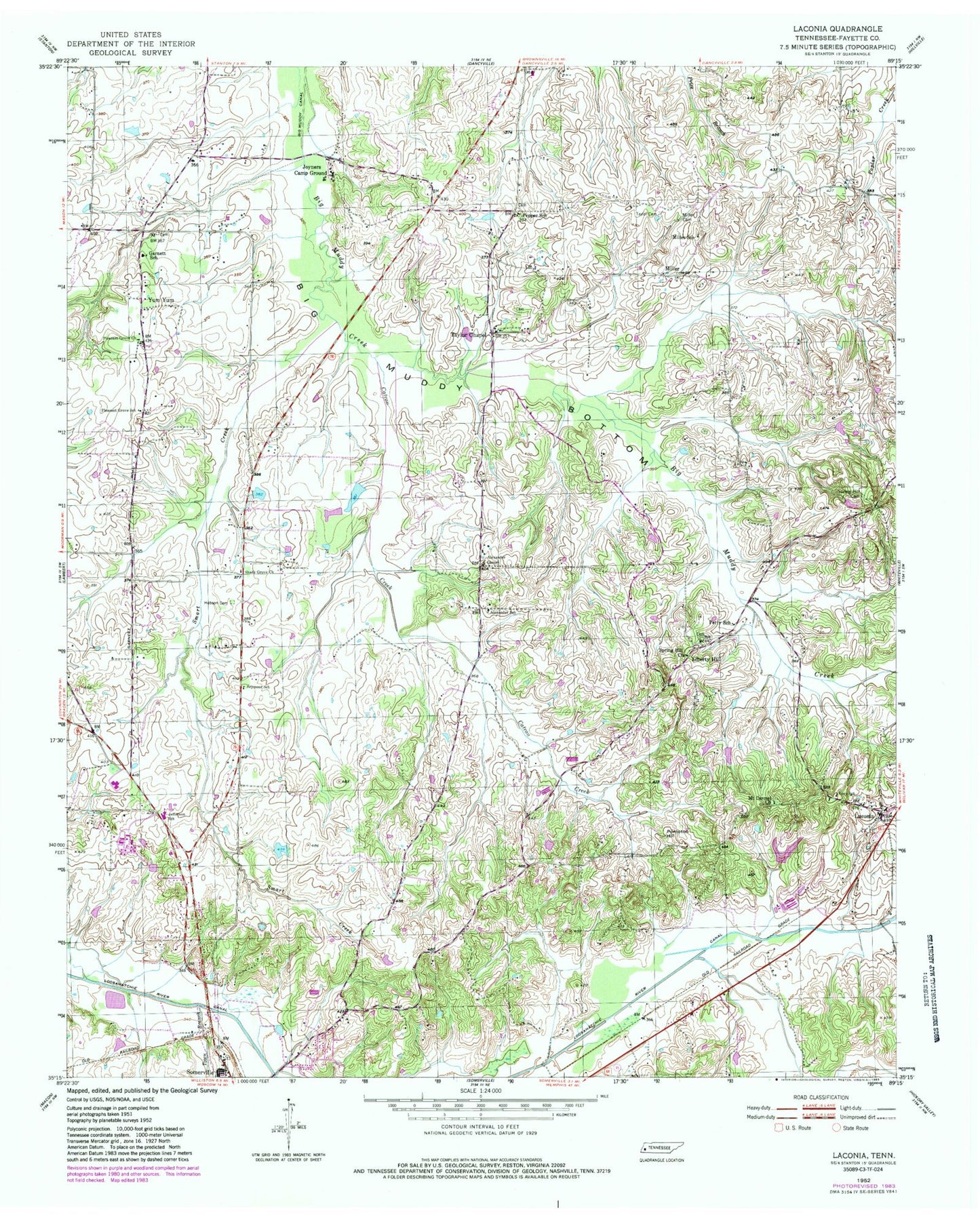
Classic USGS Laconia Tennessee 7.5'x7.5' Topo Map
Couldn't load pickup availability
Historical USGS topographic quad map of Laconia in the state of Tennessee. Map scale may vary for some years, but is generally around 1:24,000. Print size is approximately 24" x 27"
This quadrangle is in the following counties: Fayette.
The map contains contour lines, roads, rivers, towns, and lakes. Printed on high-quality waterproof paper with UV fade-resistant inks, and shipped rolled.
Contains the following named places: Alexander Chapel, Alexander School, Armour Creek, Burns Shop, Catron Creek, Commissioner District 2, Duncan Lake, Duncan Lake Dam, Fayette Corners Division, Fayette County Vocational Center, Garnett School, Hilliard School, Hobson Cemetery, Howell Creek, Jefferson Elementary School, Joyners Campground, Kings Creek, Laconia, Laconia Post Office, Liberty Hill, Liberty School, Lipsky Creek, Love School, Marsh Lake, Marsh Lake Dam, Miller, Miller Cemetery, Miller School, Mission Church, Mount Carmel Church, New Mount Zion Missionary Baptist Church Cemetery, Old Union Cemetery, Olive Church, Pepper School, Perry School, Pleasant Grove Church, Pleasant Grove School, Pontotoc Hill, Pontotoc School, Seymour School, Shady Grove Church, Shiloh Church, Smart Creek, Spring Hill Cemetery, Spring Hill Church, Taylor Cemetery, Taylor Chapel, Taylors Chapel Cemetery, Town Branch, Town Creek, Travelers Rest Church, Wells Land Company Lake, Wells Land Company Lake Dam, Yum Yum, ZIP Code: 38068


